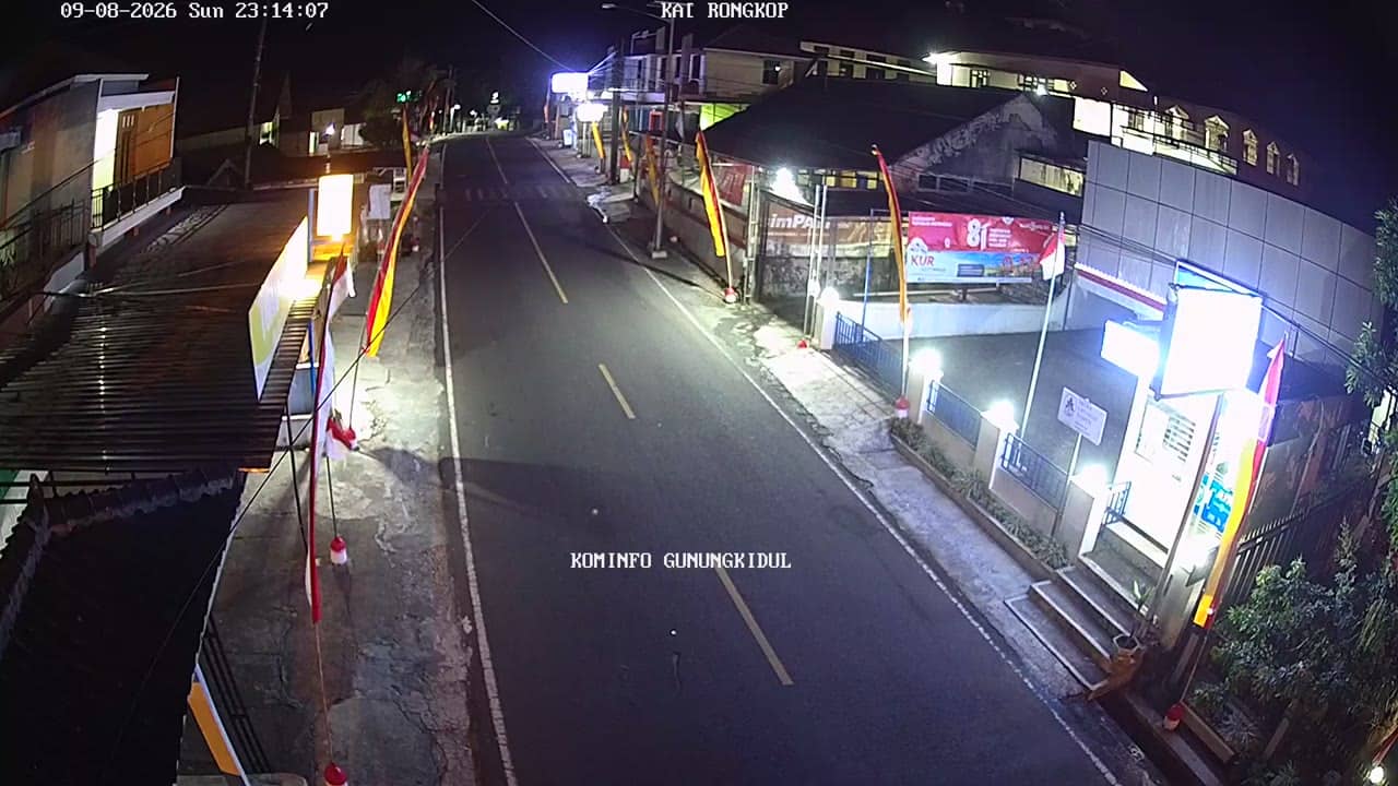
Gunungkidul - KapanewonRongkopBarat
Yogyakarta, Indonesia — 0.1 km
The camera is temporarily offline
The owner's stream is not available right now. Try again later or watch a camera nearby.
Gunungkidul - KapanewonRongkopTimur
🇮🇩 Yogyakarta · Indonesia — Altitude 365 m
This live stream shows a street-level view in Rongkop Timur, a sub-district of Gunungkidul regency in the Special Region of Yogyakarta. It is useful for seeing how the village looks right now and for checking conditions before travelling through the karst hills of the south coast.
Gunungkidul is a regency on the southern edge of Java, east of the city of Yogyakarta. Much of it is limestone plateau, where rain drains quickly underground, so the landscape is dotted with caves, dry valleys and sinkholes. Villages here are spread across hilly farmland, with cassava, maize and rice grown wherever water allows. The area is quieter than the city and its rhythms follow the farming year.
The title places the camera in the Rongkop Timur sub-district, so the view is likely to show local roads, houses and the surrounding terrain rather than a commercial site. Because the picture is a live feed, you can watch the pace of daily life, passing traffic and changes in light. Early morning and late afternoon usually give the clearest sky and the most activity, while heavy tropical showers can blur the view for a while.
Yogyakarta has a tropical climate with a wet season from roughly November to March and a drier period from April to October, which is generally the better time to travel. Rongkop Timur sits at about 365 metres above sea level, so temperatures are a little cooler than on the coast. Nearby cameras on this site include Rongkop Barat, SD Baran 2 and Puskesmas Ponjong II, and the Sadeng beach camera lies roughly 12 km away.
Source: cctv.jogjaprov.go.id
Yogyakarta, Indonesia — 0.1 km
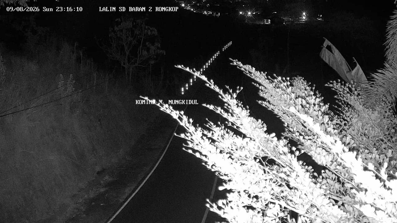
Yogyakarta, Indonesia — 1.4 km
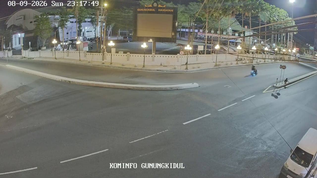
Yogyakarta, Indonesia — 8 km
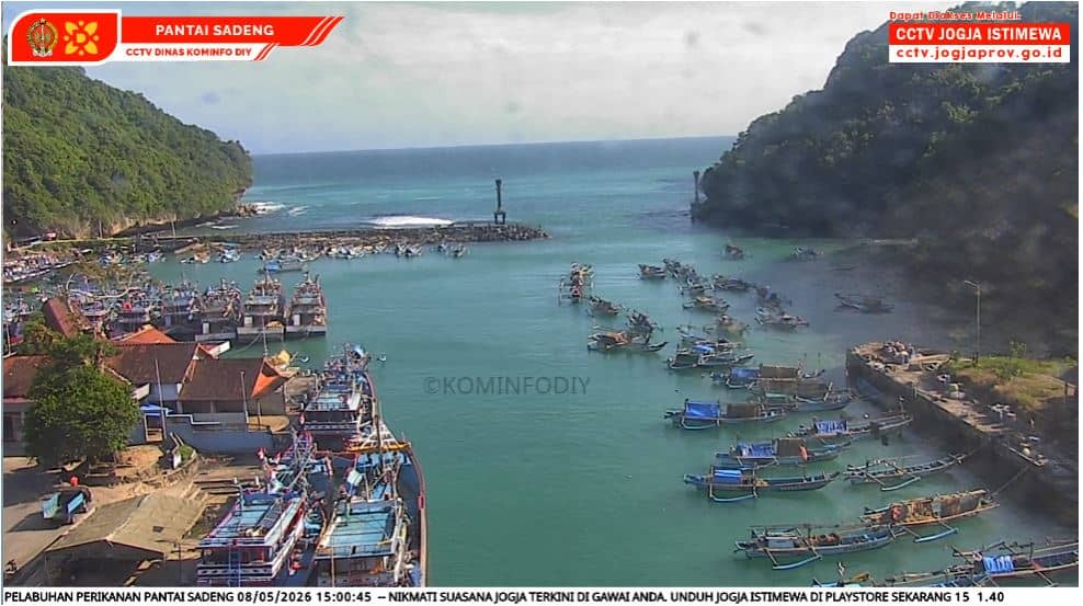
Yogyakarta, Indonesia — 12 km
Yogyakarta, Indonesia — 13 km

Yogyakarta, Indonesia — 13 km
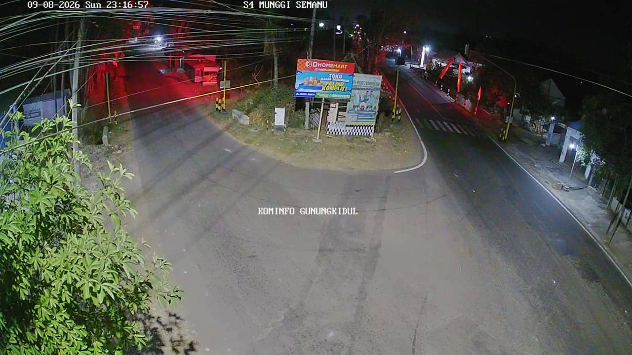
Yogyakarta, Indonesia — 15 km
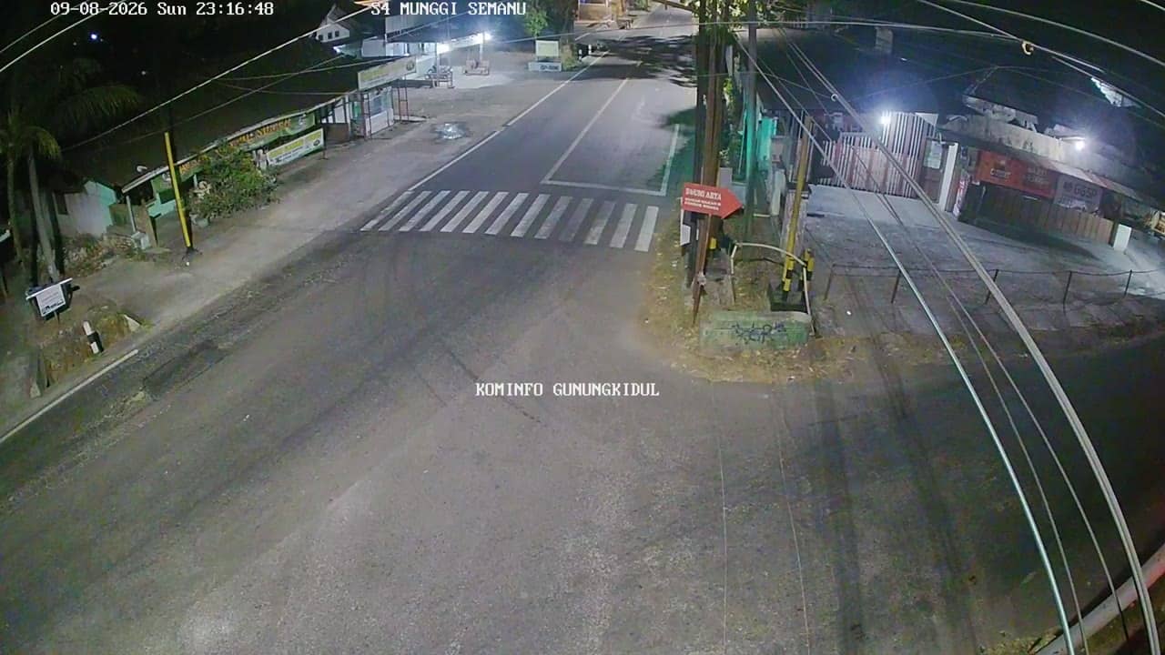
Yogyakarta, Indonesia — 15 km
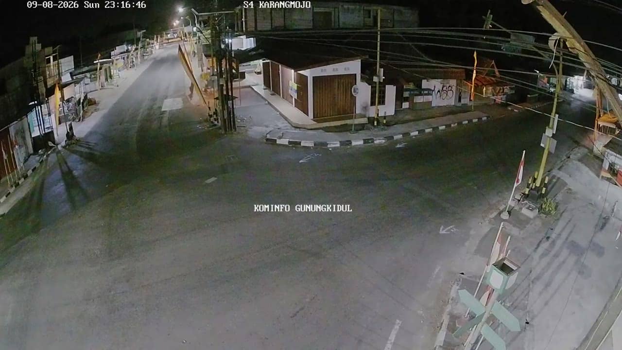
Yogyakarta, Indonesia — 17 km
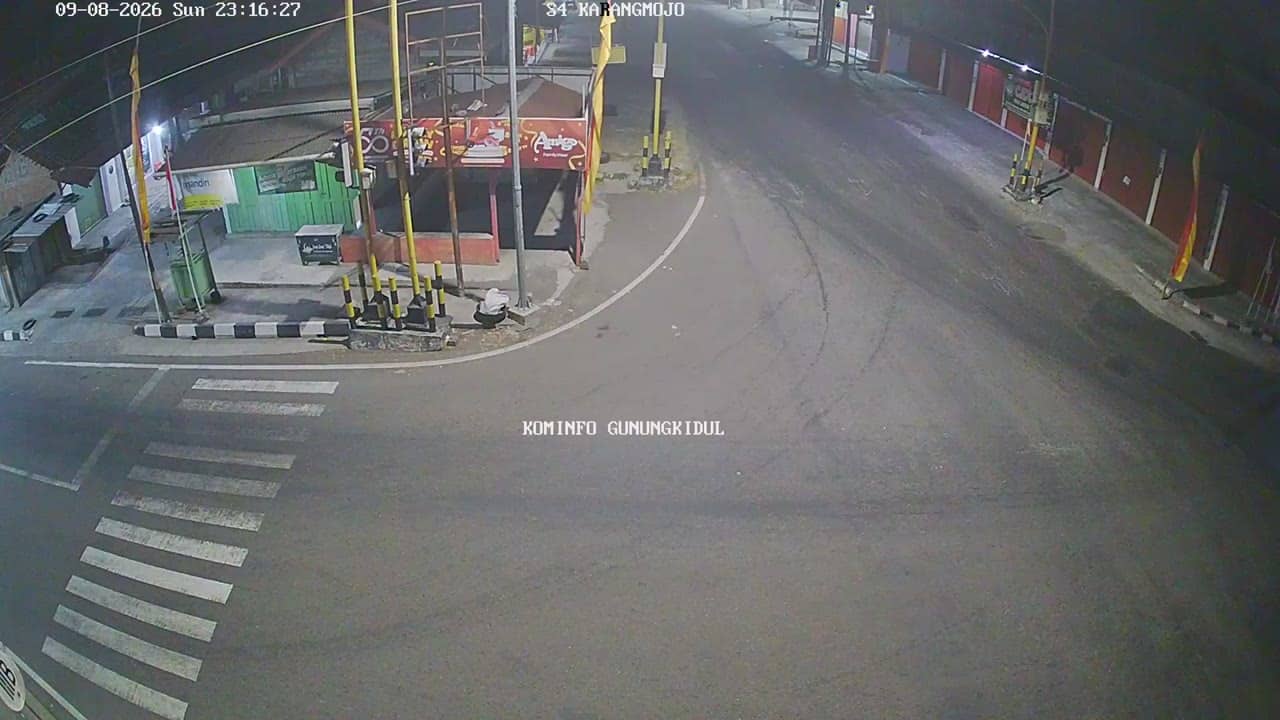
Yogyakarta, Indonesia — 17 km
The current conditions and a three-day forecast for this location are shown in the weather block on this page, updated automatically.
The local time for this camera is displayed on the page and follows the Western Indonesia time zone used across Yogyakarta.
The camera is in Rongkop Timur sub-district of Gunungkidul regency, Yogyakarta, at about 365 metres elevation. The map on the page marks its position.
Early morning and late afternoon usually offer the clearest sky and most movement, while the dry season from April to October gives the most reliable visibility.
Partner links: we may earn a commission at no extra cost to you.