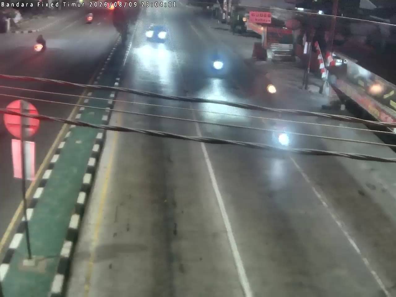
Sleman - BandaraTimur
Yogyakarta, Indonesia — 0 km
The camera is temporarily offline
The owner's stream is not available right now. Try again later or watch a camera nearby.
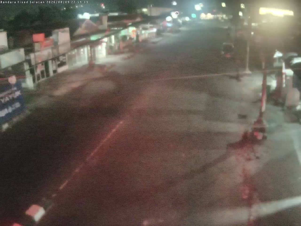
Sleman - BandaraSelatan
🇮🇩 Yogyakarta · Indonesia — Altitude 123 m
This live camera looks toward the southern side of Yogyakarta Airport in Sleman, on the edge of the city of Yogyakarta on Java. It suits anyone checking traffic around the airport, planning an arrival, or simply curious how the area looks right now. The stream is provided by the Yogyakarta provincial government.
Sleman is a regency surrounding the city of Yogyakarta, on the fertile plain below volcanic Mount Merapi. Yogyakarta is known as a centre of Javanese culture, with royal palaces, batik workshops and temples such as Borobudur and Prambanan nearby. The airport lies on the northern edge of the regency, with rice fields, villages and growing urban development spreading out from the main road network around it.
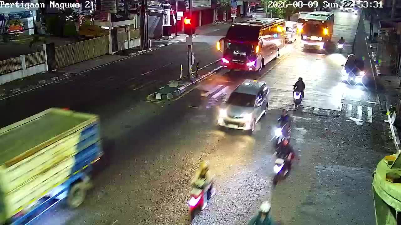
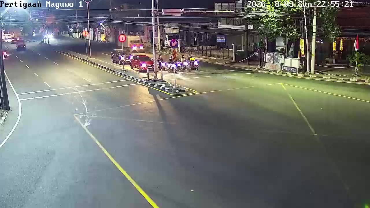
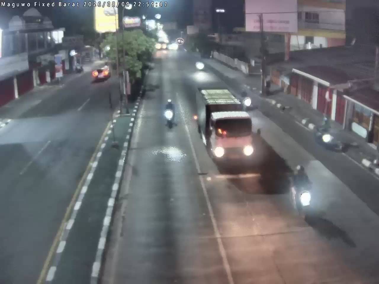
The view is of the airport surroundings, so what is visible depends on the angle of the camera and the traffic at the time. Vehicles on the access roads and aircraft movements are typical subjects of a view like this. Activity is usually busiest during the morning and late afternoon departure waves, while the middle of the day can be calmer. Heavy tropical rain can reduce visibility, so check the live weather block on this page first.
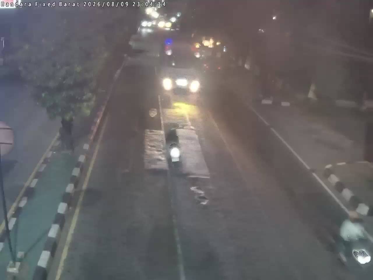
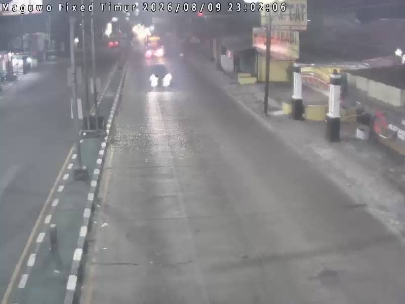
Yogyakarta has a tropical climate with a wet season from roughly November to March and a drier period from May to September, which is generally the most comfortable time to visit. Travellers arriving here often continue by taxi, ride-hailing or bus into the city. Other cameras near the airport, including the eastern and western airport gates and the Maguwo views, are listed on this page for comparison.
Source: cctv.jogjaprov.go.id
Yogyakarta, Indonesia — 0 km
Yogyakarta, Indonesia — 0 km
Yogyakarta, Indonesia — 0.9 km
Yogyakarta, Indonesia — 0.9 km

Yogyakarta, Indonesia — 0.9 km
Yogyakarta, Indonesia — 0.9 km
Yogyakarta, Indonesia — 0.9 km
Yogyakarta, Indonesia — 0.9 km
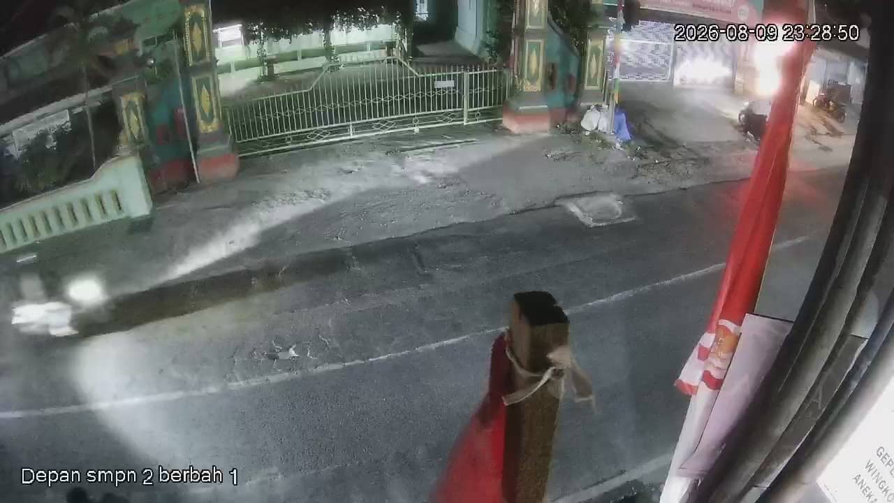
Yogyakarta, Indonesia — 2.4 km
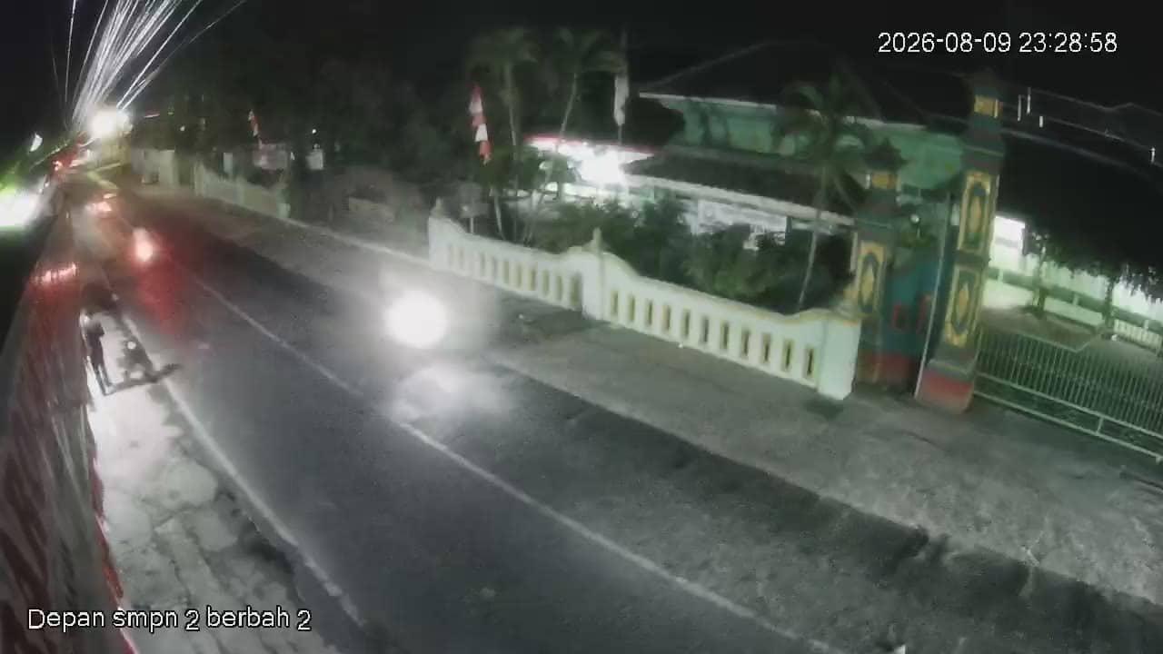
Yogyakarta, Indonesia — 2.4 km
The current conditions and a three-day forecast for Sleman are shown in the live weather block on this page. The values update automatically, so you can check them before heading to the airport.
The local time for Sleman is displayed on this page, based on Western Indonesia time. It updates continuously, which helps when comparing with flight schedules or your home time zone.
The camera is at the southern side of Yogyakarta Airport in Sleman regency, at an elevation of about 123 metres. The map on this page shows its position relative to the city of Yogyakarta.
Morning and late afternoon usually bring the most movement around the airport. The live stream runs during daylight hours, and rain or haze can reduce clarity at any time of day.
Partner links: we may earn a commission at no extra cost to you.