
Yogyakarta - Gayam
Yogyakarta, Indonesia — 0.5 km
The camera is temporarily offline
The owner's stream is not available right now. Try again later or watch a camera nearby.
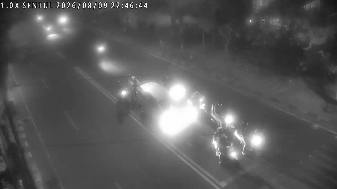
Yogyakarta - Sentul
🇮🇩 Yogyakarta · Indonesia — Altitude 106 m
This live stream looks over a road junction in Sentul, on the eastern edge of Yogyakarta city. It is useful for anyone wanting a real-time sense of how traffic is moving in this part of the city before heading out. The feed is provided by the Yogyakarta provincial government's public camera network.
Yogyakarta is a city on the island of Java, known as a centre of Javanese culture, batik, and classical arts, and as a gateway to the Borobudur and Prambanan temples. Sentul lies in the east of the city, a residential and commercial area on the main routes between the city centre and the outskirts. The city sits at a modest elevation of about 106 metres, with volcanic Mount Merapi rising to the north.
As a traffic camera, the stream is aimed at vehicle flow, so you can judge whether roads are busy, slow, or clear. Morning and late afternoon are typically the heaviest periods on Indonesian city roads, while late evening tends to be calmer. The picture reflects the current view; the camera is a public stream and its availability can change without notice.
Yogyakarta has a tropical climate with warm temperatures year round. The dry season from roughly May to September is generally the most comfortable for travel, while the wetter months bring heavy afternoon showers. Nearby cameras in Gayam, Cendana, Permata and Mandalakrida cover other parts of the city for a broader look at traffic.
Source: cctv.jogjaprov.go.id
Yogyakarta, Indonesia — 0.5 km

Yogyakarta, Indonesia — 0.6 km
Yogyakarta, Indonesia — 0.6 km
Yogyakarta, Indonesia — 0.8 km
Yogyakarta, Indonesia — 0.8 km
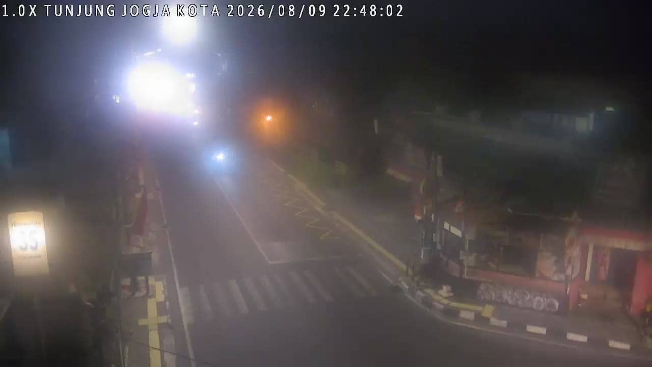
Yogyakarta, Indonesia — 0.9 km
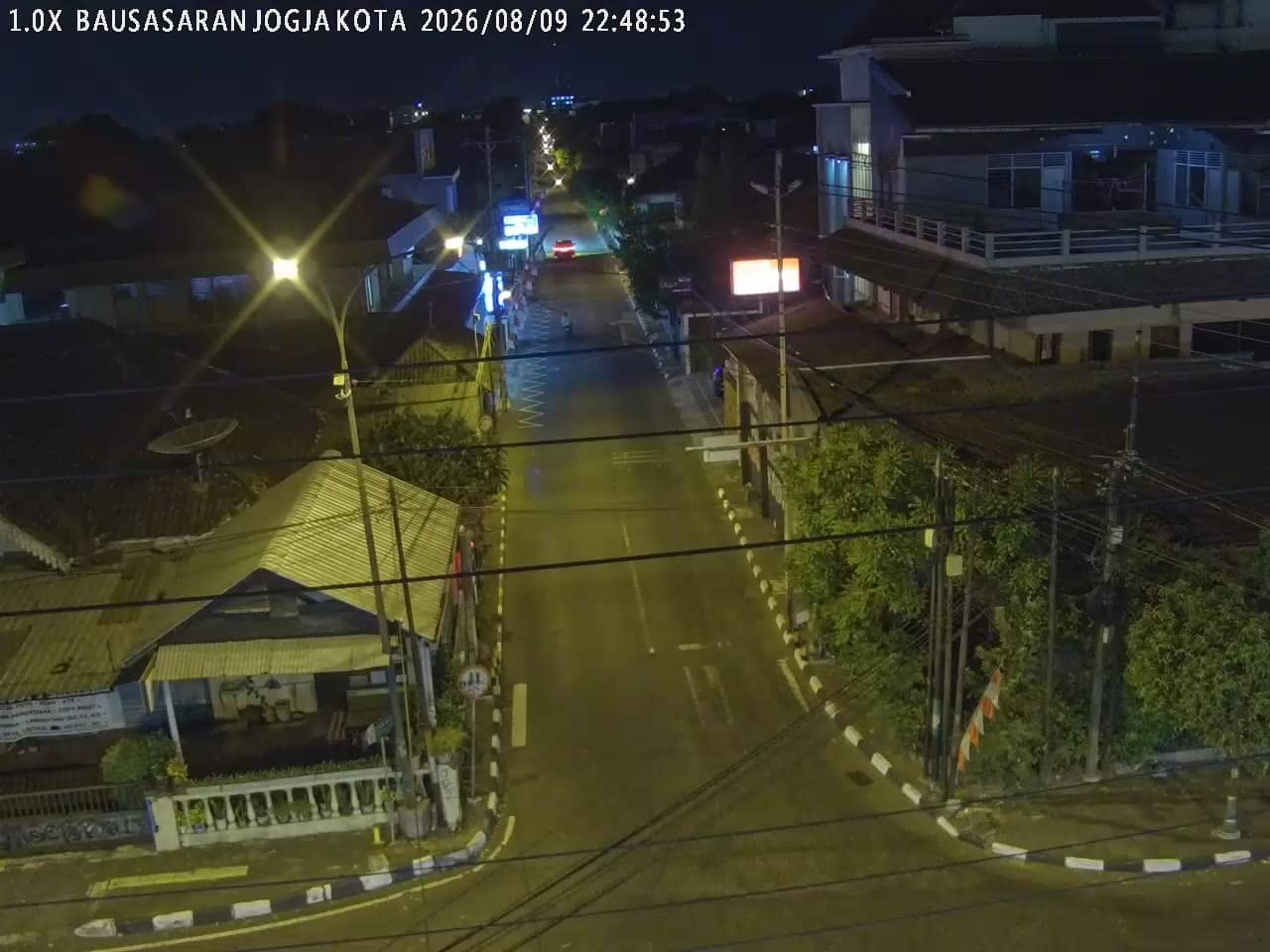
Yogyakarta, Indonesia — 0.9 km

Yogyakarta, Indonesia — 1.1 km
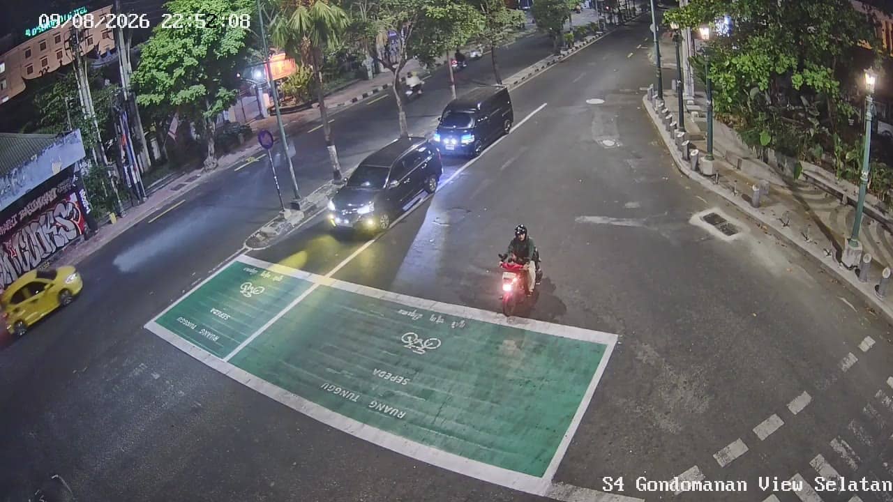
Yogyakarta, Indonesia — 1.1 km
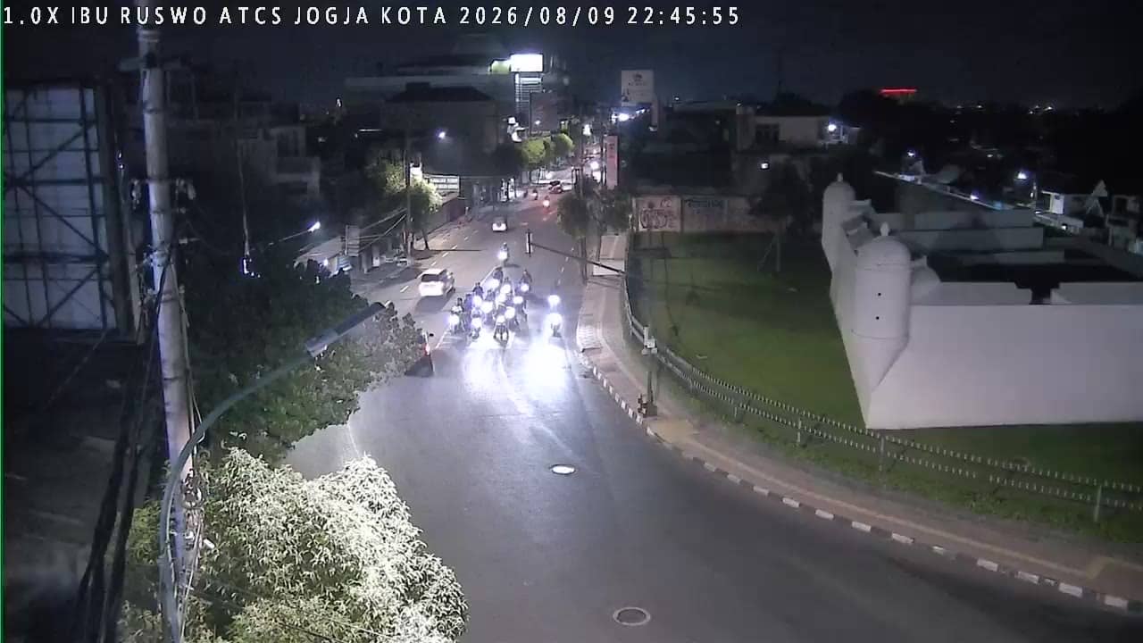
Yogyakarta, Indonesia — 1.1 km
The live weather block on this page shows the current conditions in Yogyakarta along with a three-day forecast, so you can plan around rain or heat before you travel.
The local time block on this page shows the current time in Yogyakarta, which is Western Indonesia Time, so you can compare it with your own location.
The camera is at Sentul in the eastern part of Yogyakarta city, at roughly 110.38 degrees east and 7.80 degrees south. The map on this page marks the exact location.
Weekday mornings and late afternoons usually show the busiest traffic, while evenings tend to be quieter. Watching at these times gives the clearest sense of how the roads are flowing.
Partner links: we may earn a commission at no extra cost to you.