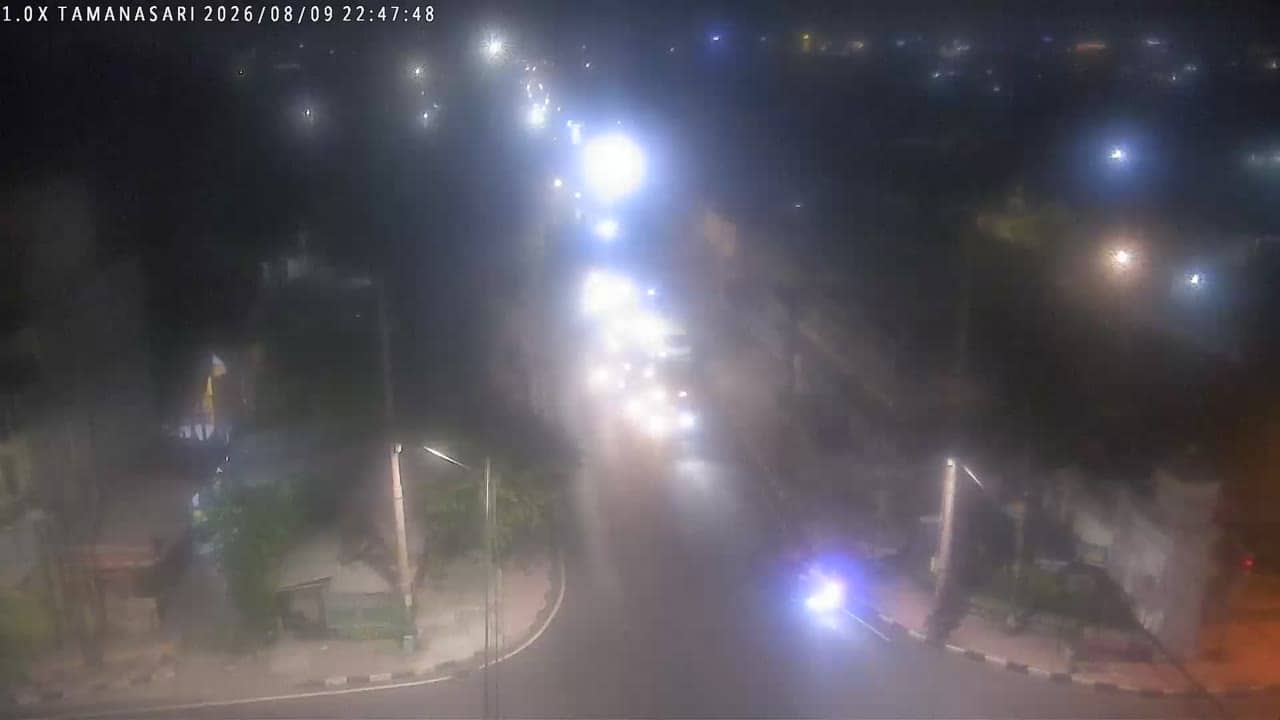
Yogyakarta - Tamansari
Yogyakarta, Indonesia — 0.5 km
The camera is temporarily offline
The owner's stream is not available right now. Try again later or watch a camera nearby.
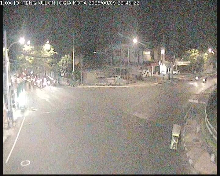
Kulon Progo - JoktengKulon
🇮🇩 Yogyakarta · Indonesia — Altitude 95 m
This camera watches a road junction in Kulon Progo, a regency on the southwestern edge of the Yogyakarta Special Region. It is a traffic camera, so it shows the flow of vehicles rather than a scenic view. People check it to judge road conditions before travelling in the area.
Kulon Progo lies west of the city of Yogyakarta, between the Indian Ocean coast and the hills that rise inland. The regency is largely agricultural, with rice fields, farms and villages along its roads. Yogyakarta itself is known for its royal palace, temples and university life, and Kulon Progo is the western gateway toward the southern coast. The camera sits at about 95 metres above sea level, on terrain that is gently rolling rather than flat.
As a traffic camera, the stream is most useful for watching motorbikes, cars, buses and trucks moving through the junction. Traffic usually peaks in the morning and late afternoon on weekdays, when commuters and school runs fill the roads. Heavy rain can slow movement and reduce visibility, so the live feed is a practical way to see the situation as it develops. Conditions may look quite different on weekends and during holidays.
Yogyakarta has a tropical climate with a wet season from roughly November to March and a drier period from April to October, which is generally the more comfortable time to travel. Temperatures stay warm year round. Yogyakarta's city cameras nearby, including Tamansari, Simpang Sugeng Jeroni and Pasar Gading Barat, show other points on the network, and the nearby cameras list on this page lets you compare conditions across the area.
Source: cctv.jogjaprov.go.id
Yogyakarta, Indonesia — 0.5 km

Yogyakarta, Indonesia — 0.7 km

Yogyakarta, Indonesia — 0.7 km

Yogyakarta, Indonesia — 0.7 km

Yogyakarta, Indonesia — 0.8 km
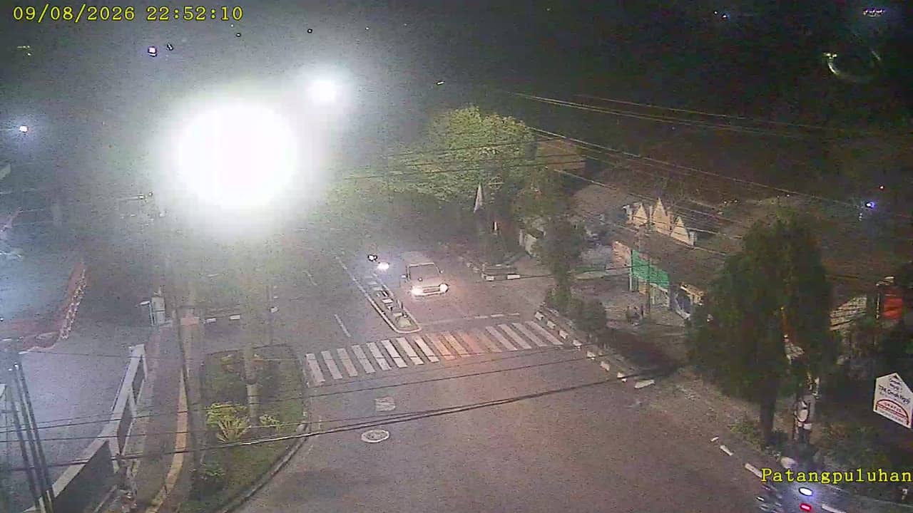
Yogyakarta, Indonesia — 0.9 km
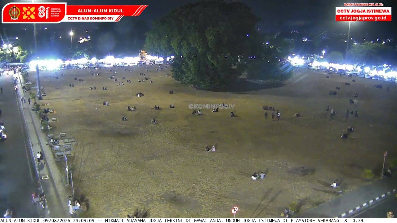
Yogyakarta, Indonesia — 0.9 km
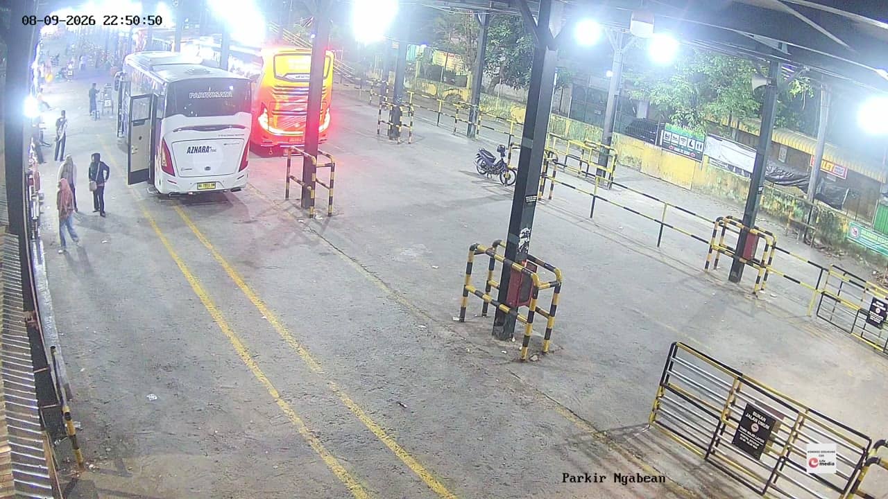
Yogyakarta, Indonesia — 1.3 km
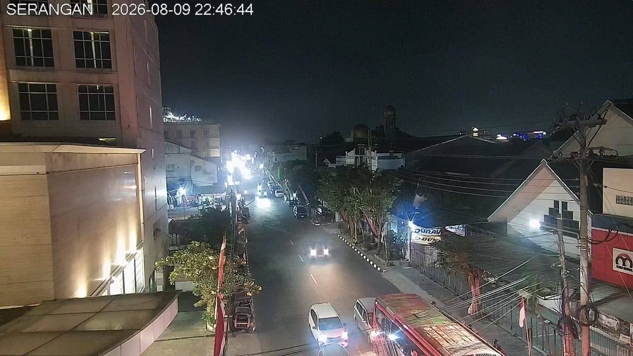
Yogyakarta, Indonesia — 1.3 km

Yogyakarta, Indonesia — 1.4 km
The current weather and a three-day forecast for Kulon Progo are shown in the live block on this page. Conditions can change quickly during the wet season, so check it before you set out.
The local time for Kulon Progo is displayed on this page and updates automatically. Indonesia uses Western Indonesia Time, which is seven hours ahead of UTC.
The camera is located at a junction in Kulon Progo regency, west of Yogyakarta, at about 95 metres altitude. The map on this page marks its position and shows the surrounding roads.
Weekday mornings and late afternoons are usually the busiest, which makes the traffic flow most visible. Watching during rain can also help you judge how the roads are coping.
Partner links: we may earn a commission at no extra cost to you.