
Bandung - Moh Toha - Rs Sartika Asih 02
West Java, Indonesia — 0 km

Bandung - Moh Toha - Rs Sartika Asih 01
🇮🇩 West Java · Indonesia — Altitude 678 m
This live stream looks over a road junction on the Moh Toha corridor in Bandung, the highland capital of West Java. It is useful for checking traffic flow and the sky over the city before you travel. The page also shows local time and weather so you can plan around the afternoon rains that are common here.
Bandung sits in a volcanic basin about 680 metres above sea level, surrounded by tea plantations and mountain ridges. Known as the Paris of Java for its colonial-era architecture and cafe culture, it is also a major university and creative city. The cooler air compared with Jakarta makes it a popular weekend escape for city residents.
The title names a road near a hospital, so the view is likely to be dominated by vehicles, roadside buildings and the street itself rather than scenery. Watching in the morning or late afternoon gives a clearer picture of commuter traffic. During the rainy season, from November to March, you may see sudden downpours that quickly change how the road looks.
Bandung has a mild tropical highland climate, with daytime temperatures often in the mid to high twenties Celsius and cooler nights. The driest months are roughly June to September, which is generally the best time to visit. Nearby cameras on the same corridor, including Moh Toha and Batununggal, let you compare conditions along several points of the city.
Source: pelindung.bandung.go.id
West Java, Indonesia — 0 km
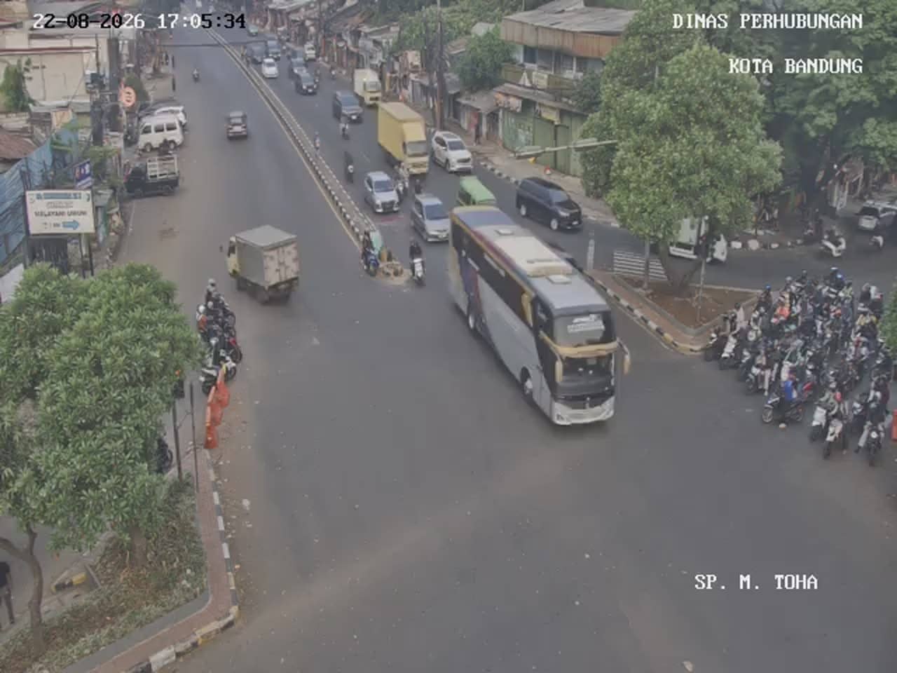
West Java, Indonesia — 1 km
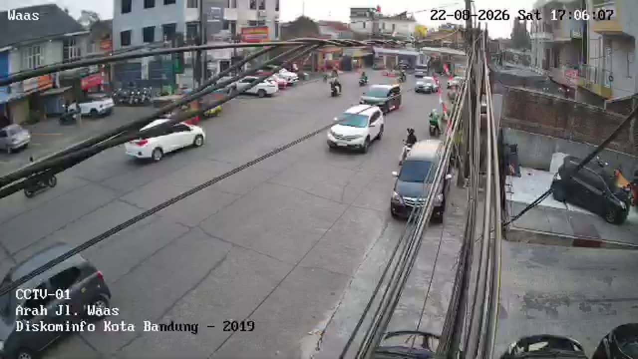
West Java, Indonesia — 1.7 km
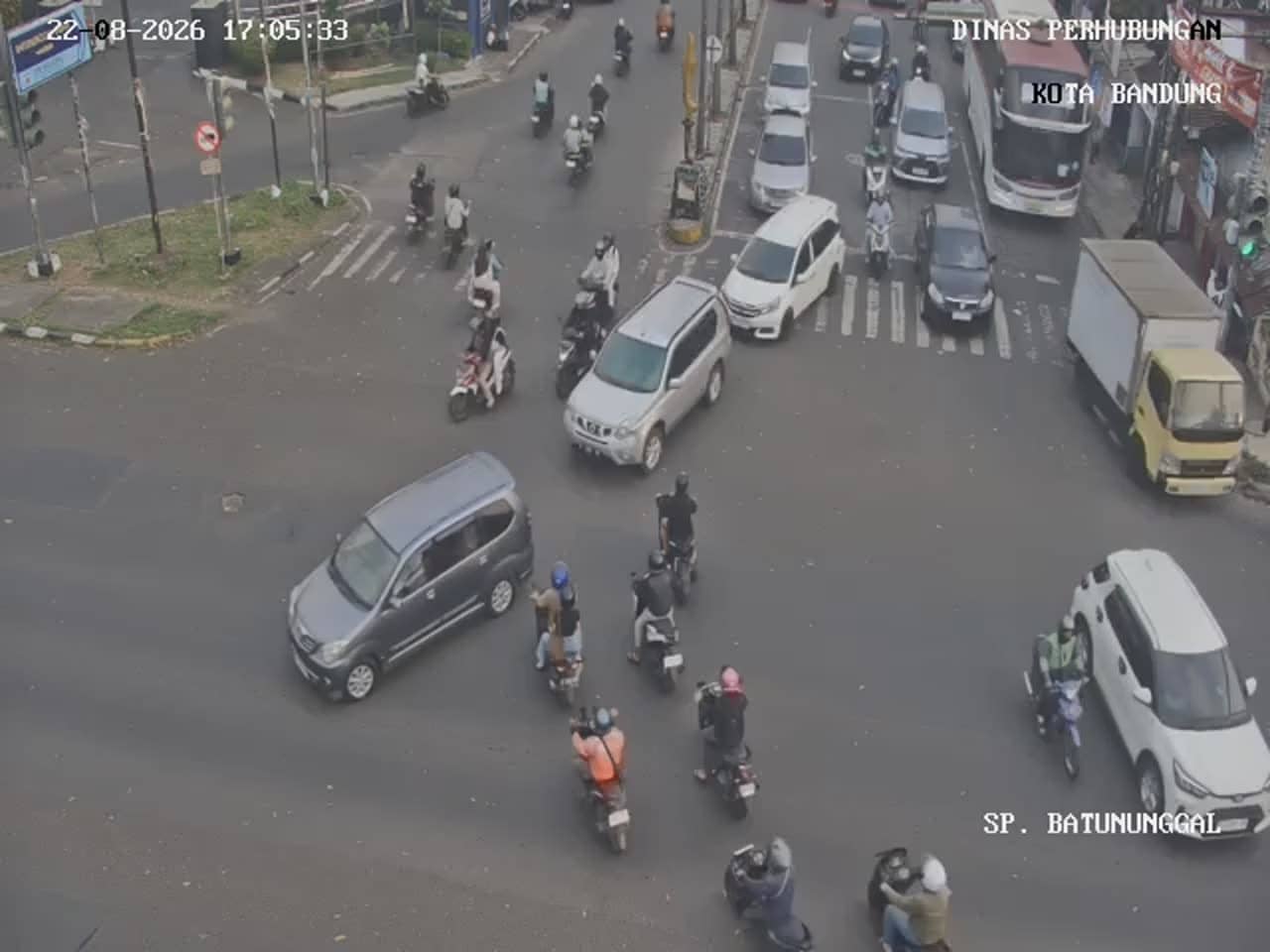
West Java, Indonesia — 1.7 km
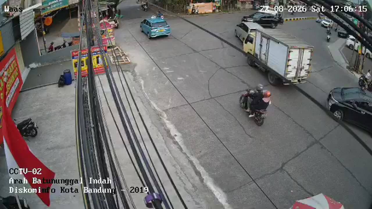
West Java, Indonesia — 1.7 km

West Java, Indonesia — 1.9 km

West Java, Indonesia — 2.1 km

West Java, Indonesia — 2.1 km

West Java, Indonesia — 2.3 km

West Java, Indonesia — 2.3 km
The current weather and a three-day forecast for Bandung are shown in the live block on this page. They update automatically, so you can check conditions before heading out.
The local time for Bandung is displayed on this page and follows Indonesia's western time zone. It is shown live so you can match it with the stream.
The camera is on the Moh Toha road area in Bandung, West Java, at approximately 680 metres altitude. The map on the page marks its position and nearby cameras.
Mornings and late afternoons usually show the busiest traffic, while the dry season from June to September gives the clearest skies. Check the forecast on the page before watching for rain.
Partner links: we may earn a commission at no extra cost to you.