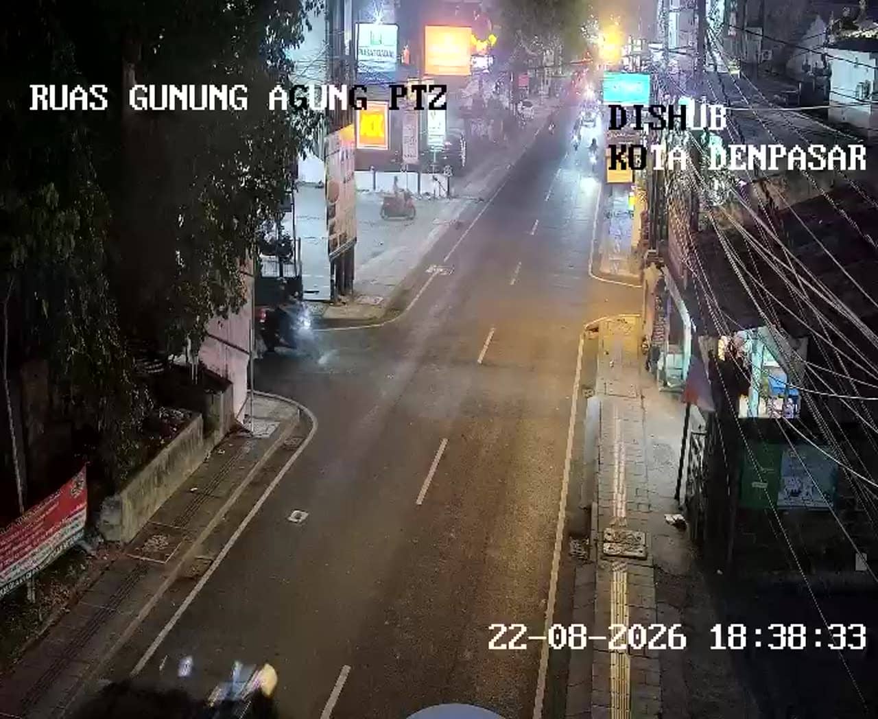
Denpasar - Ruas Jalan Gunung Agung
Bali, Indonesia — 0 km
The camera is temporarily offline
The owner's stream is not available right now. Try again later or watch a camera nearby.
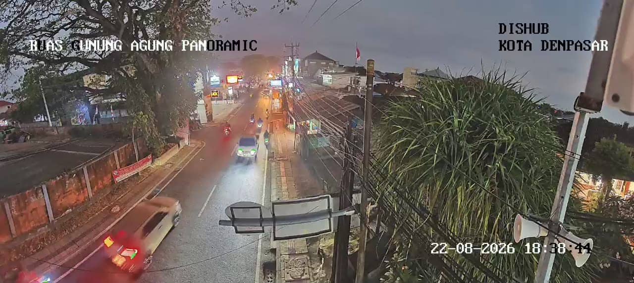
Denpasar - Ruas Jalan Gunung Agung - Jalan Gunung Agung Panoramic
🇮🇩 Bali · Indonesia — Altitude 28 m
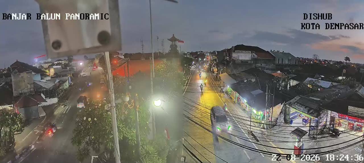
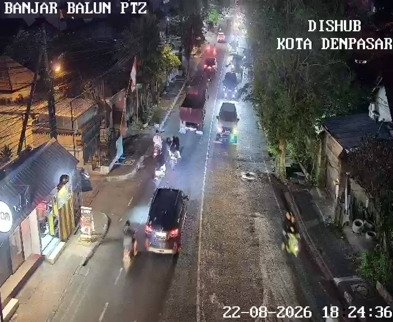
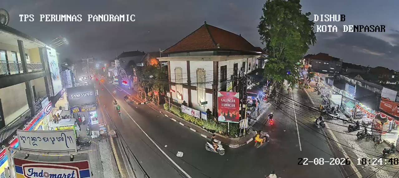
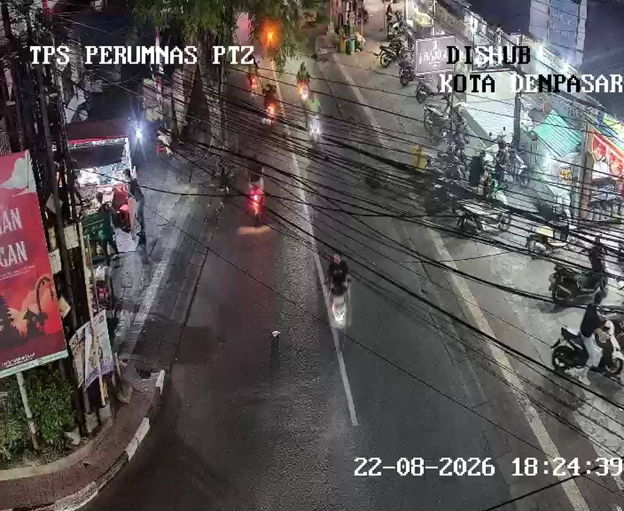
This live camera looks along Jalan Gunung Agung in Denpasar, the capital of Bali, and its panoramic framing gives a wider sense of the road than a single fixed view. It is useful for checking traffic flow and sky conditions before heading into the city centre or toward the island's main routes.
Denpasar is the largest city in Bali and its administrative and commercial heart, sitting on the island's southern plain not far from the coast. The road is named after Mount Agung, the highest volcano on Bali, which rises to the northeast and is often visible on clear days. Denpasar is known as a working city more than a resort town, with markets, temples and government buildings alongside busy shopping streets.
The camera shows the road and its traffic, so the view changes with the time of day. Mornings and late afternoons usually bring the heaviest vehicle flow, while midday can be calmer. Depending on the weather, you may also see cloud drifting over the surrounding hills, and the mountain itself is only sometimes clear of haze, which is worth watching for if you are curious about the volcano.
Denpasar has a tropical climate with a wet season from roughly November to March and a drier period from April to October, so the dry months are generally easier for travel. Getting around the city is typically done by taxi, ride-hailing apps or scooter. Other cameras nearby include the Simpang Setiabudi and Sutomo junction views, which are useful for comparing traffic in other parts of the city.
Source: atcs.denpasarkota.go.id
Bali, Indonesia — 0 km
Bali, Indonesia — 0.6 km
Bali, Indonesia — 0.6 km
Bali, Indonesia — 0.9 km
Bali, Indonesia — 0.9 km
Bali, Indonesia — 0.9 km
Bali, Indonesia — 0.9 km
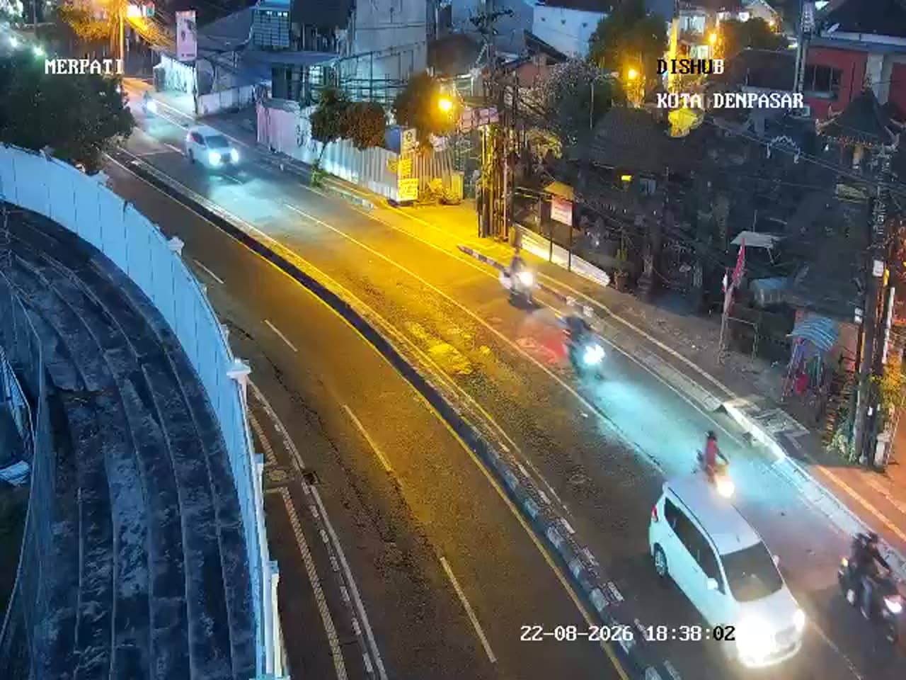
Bali, Indonesia — 1 km
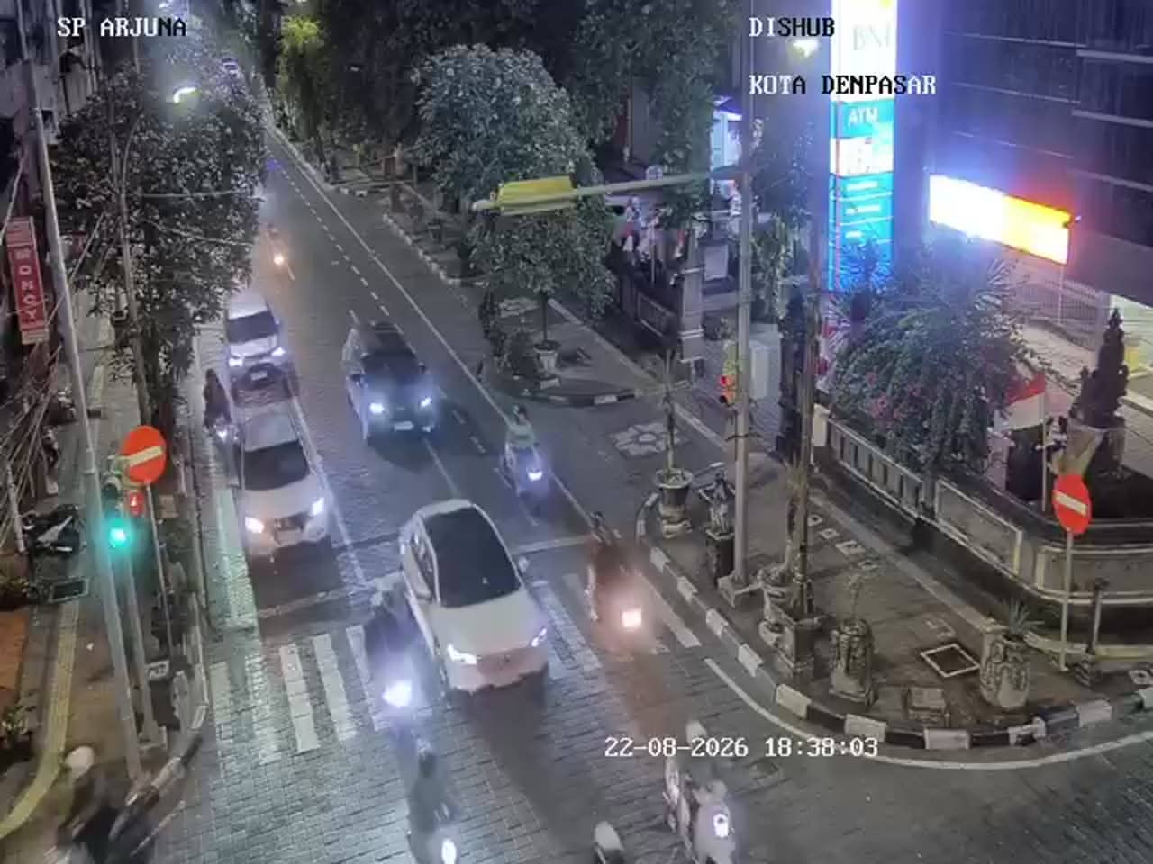
Bali, Indonesia — 1.2 km
Bali, Indonesia — 1.3 km
The current conditions and a three-day forecast are shown in the live weather block on this page, updated alongside the camera feed.
The local time for Denpasar is displayed on this page and follows Bali's time zone, which is shown in the time block above the video.
The camera is on Jalan Gunung Agung in Denpasar, Bali, at low elevation near the city. The map on this page marks its exact position.
Weekday mornings and late afternoons usually show the most traffic activity, while clear dry-season days give the best chance of seeing the mountain in the distance.
Partner links: we may earn a commission at no extra cost to you.