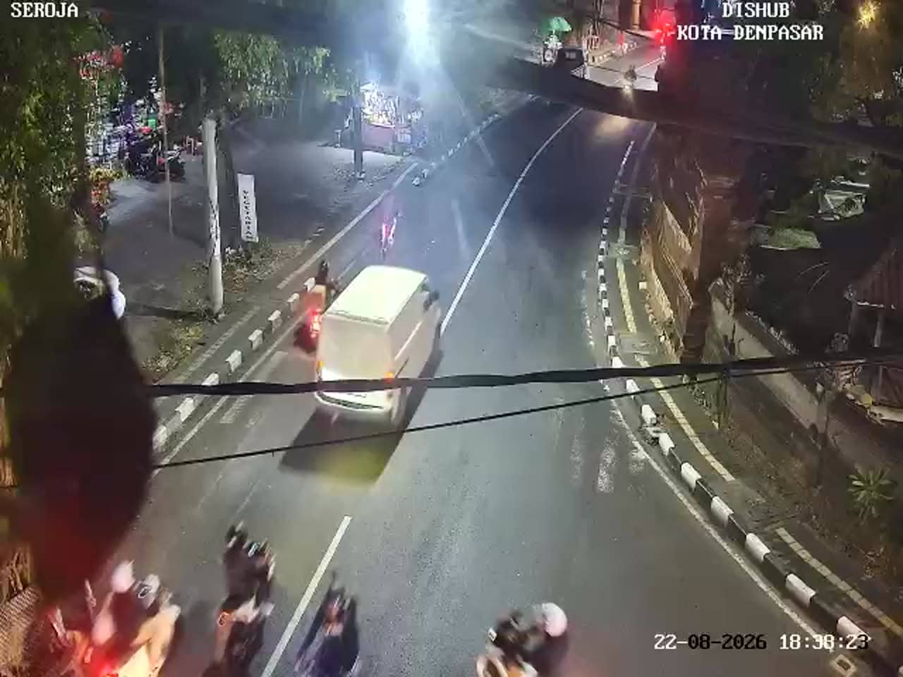
Denpasar - Simpang Kemuda - Seroja
Bali, Indonesia — 0.3 km
The camera is temporarily offline
The owner's stream is not available right now. Try again later or watch a camera nearby.
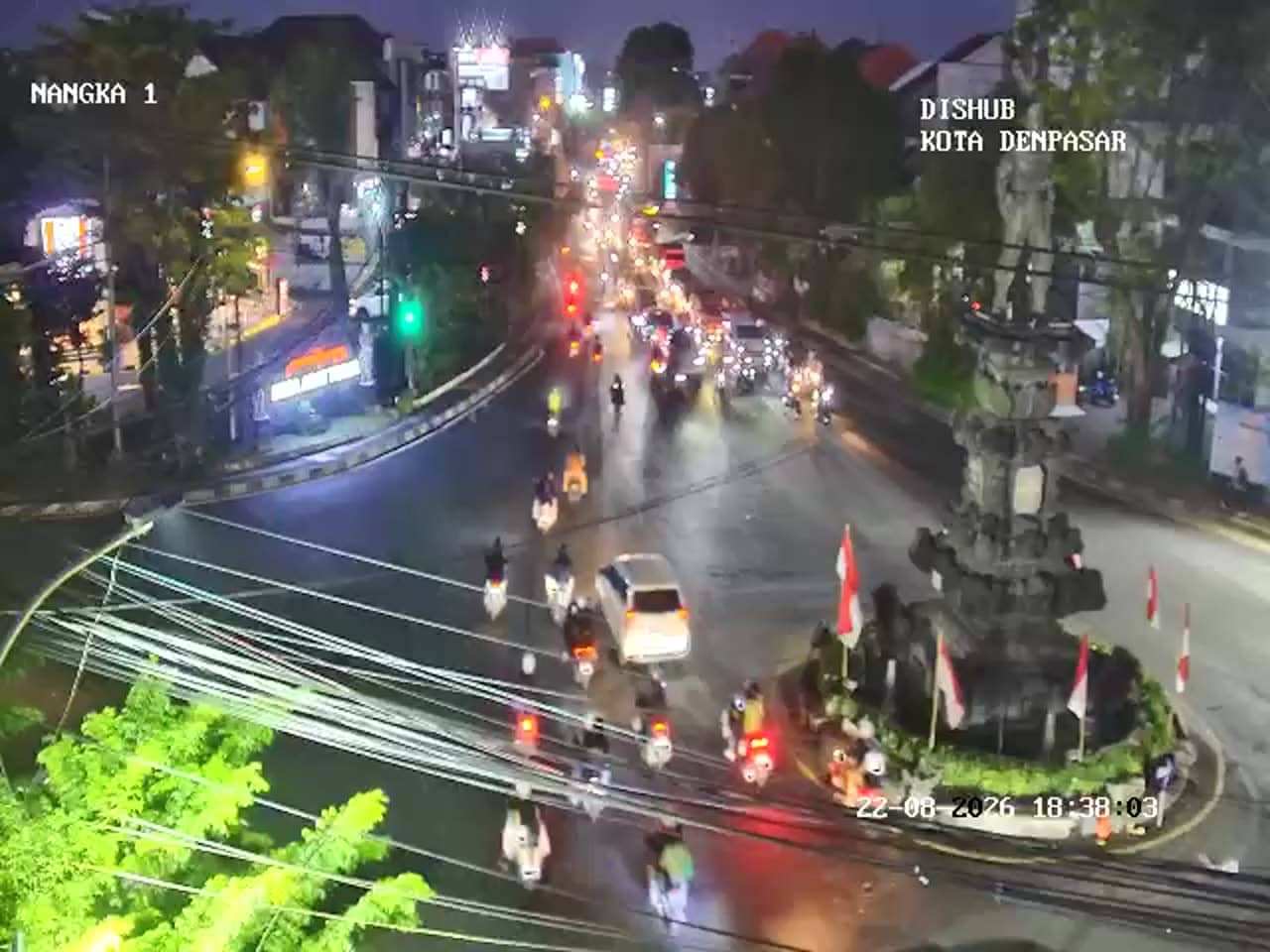
Denpasar - Simpang Nangka Utara - Kemuda
🇮🇩 Bali · Indonesia — Altitude 57 m
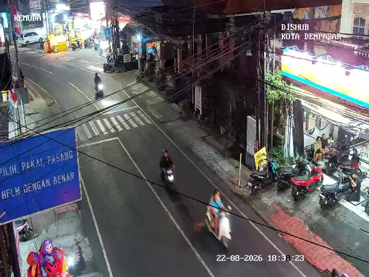
This camera looks down on a busy junction in the Kemuda area of Denpasar, the capital of Bali. It is a traffic feed, so it shows vehicles, signals and the rhythm of city roads rather than scenery. It suits anyone planning a trip across the city or checking how congested the roads are before heading out.
Denpasar is the administrative and commercial heart of Bali, a city of markets, shops and government offices that sits inland from the island's southern beaches. Simpang Nangka Utara lies in the northern part of the city, where neighbourhoods give way to a mix of residential streets and busier arterial roads. The surroundings are lowland and urban, a quieter and more everyday side of the island than the coastal resorts most visitors know.
The feed is aimed at a crossing, so you can follow motorbikes, cars and occasional buses as they queue at signals and move through the junction. Traffic tends to thicken during the morning and late afternoon commute, and around lunchtime when people head out to eat. Visibility depends on the weather, so during heavy rain the picture may be less clear and traffic may slow noticeably.
Denpasar has a tropical climate with warm temperatures all year and a wetter season from roughly November to March. Traffic is the main consideration for getting around, and a short taxi or ride-hailing trip can take far longer at peak hours than the map suggests. Nearby traffic cameras, including Simpang Kemuda and Simpang Gatot Subroto, can help you compare road conditions along the same corridor.
Source: atcs.denpasarkota.go.id
Bali, Indonesia — 0.3 km
Bali, Indonesia — 0.7 km
Bali, Indonesia — 0.7 km
Bali, Indonesia — 1.2 km
Bali, Indonesia — 1.3 km
Bali, Indonesia — 1.3 km
Bali, Indonesia — 1.3 km
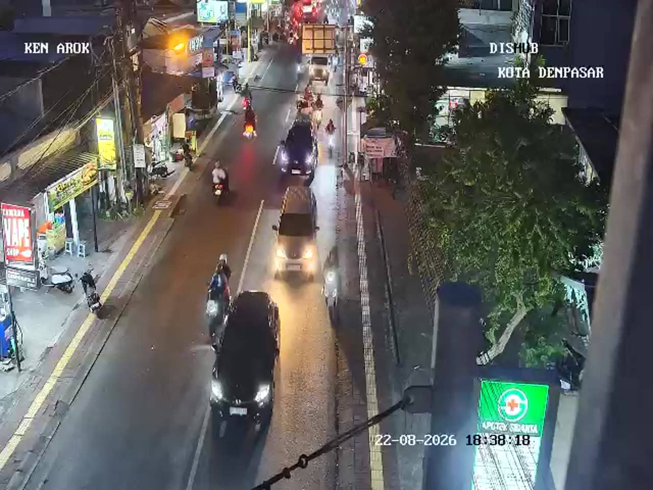
Bali, Indonesia — 1.7 km
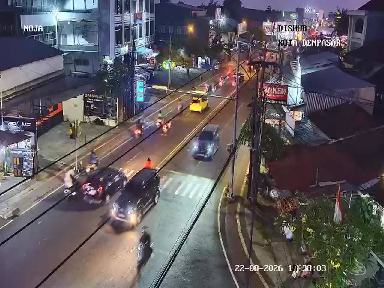
Bali, Indonesia — 1.7 km
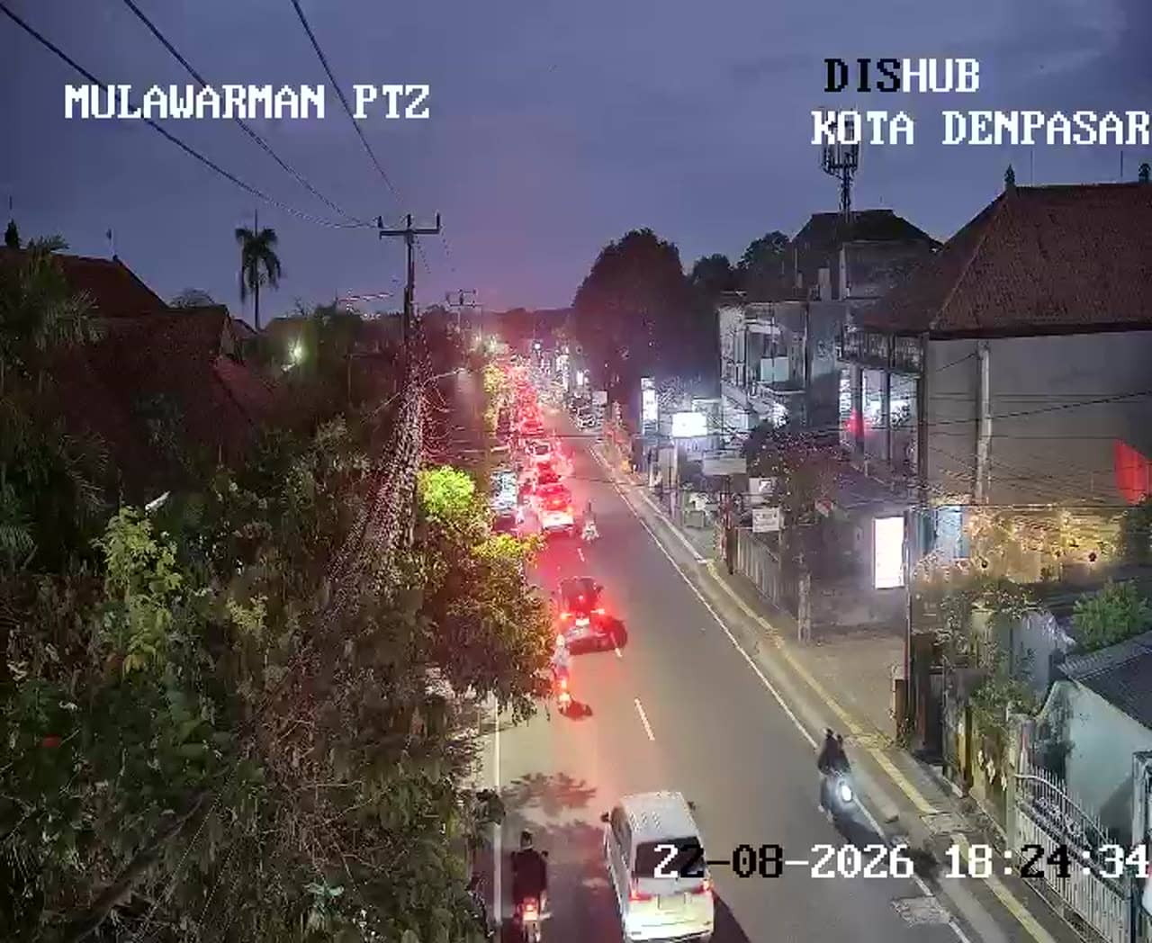
Bali, Indonesia — 1.8 km
The current conditions and a three-day forecast for this location are shown in the weather block on this page. They update automatically, so you can check them before you travel.
The local time for Denpasar is displayed on this page and follows Bali's time zone. It is shown alongside the live stream so you can match the traffic you see with the hour.
The camera is at the Simpang Nangka Utara junction in the Kemuda area of northern Denpasar, Bali. The map on this page marks its position and shows the surrounding streets.
Weekday mornings and late afternoons usually show the heaviest traffic, while midday and evenings are generally calmer. Check the stream at those times if you want to see the busiest flow.
Partner links: we may earn a commission at no extra cost to you.