
Denpasar - Simpang Gatot Subroto Barat - Gunung Catur - Gatsu Barat - Gunung Catur Panoramic
Bali, Indonesia — 0.6 km
The camera is temporarily offline
The owner's stream is not available right now. Try again later or watch a camera nearby.
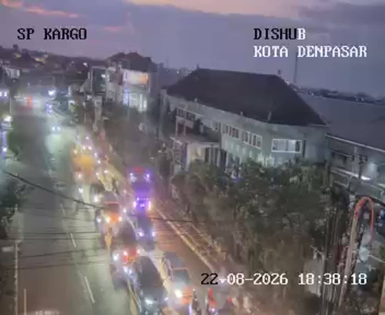
Denpasar - Simpang Gatot Subroto - Cargo
🇮🇩 Bali · Indonesia — Altitude 46 m
This camera looks down on the Simpang Gatot Subroto junction in Denpasar, the capital of Bali. It is a traffic feed, so it suits anyone wanting to see how the main roads of the island's largest city are moving before a trip or a meeting. The page adds local time and weather beside the stream.
Denpasar is the administrative and commercial centre of Bali, and most travellers pass through it on the way to the beaches of the south or the hills of the interior. Gatot Subroto is one of the wide arterial roads that carry traffic across the city. The surrounding area is a mix of shophouses, offices, temples and residential streets, with the flat, lowland character typical of southern Bali. Its altitude is only a few dozen metres above sea level.
Because the camera is aimed at a busy junction, the most useful moments tend to be the weekday rush hours in the morning and late afternoon, when scooters and cars build up at the signals. Traffic is usually lighter on public holidays and during quieter periods of the day. Rain can change flow quickly, so the live view is most helpful when you want to judge current conditions rather than general patterns.
Denpasar has a tropical climate with warm temperatures through the year, wetter months from roughly November to March and drier weather from April to October. Getting around the city is commonly done by car, ride-hailing or scooter. Nearby cameras on this site cover other points on Gatot Subroto and the Ubung and Pidada areas, which can help you compare routes across the city.
Source: atcs.denpasarkota.go.id
Bali, Indonesia — 0.6 km
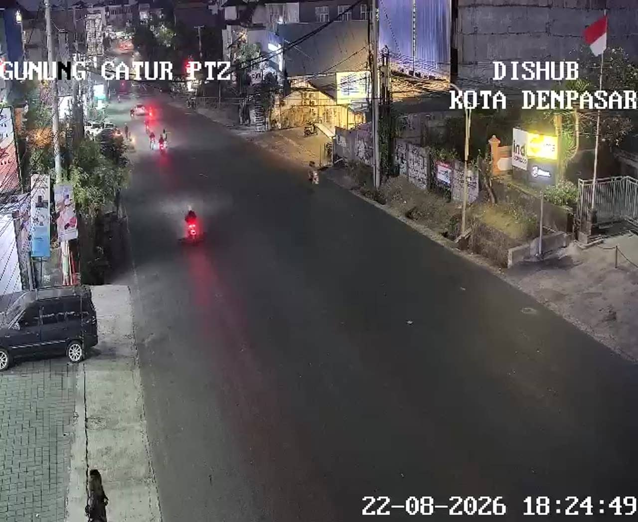
Bali, Indonesia — 0.6 km
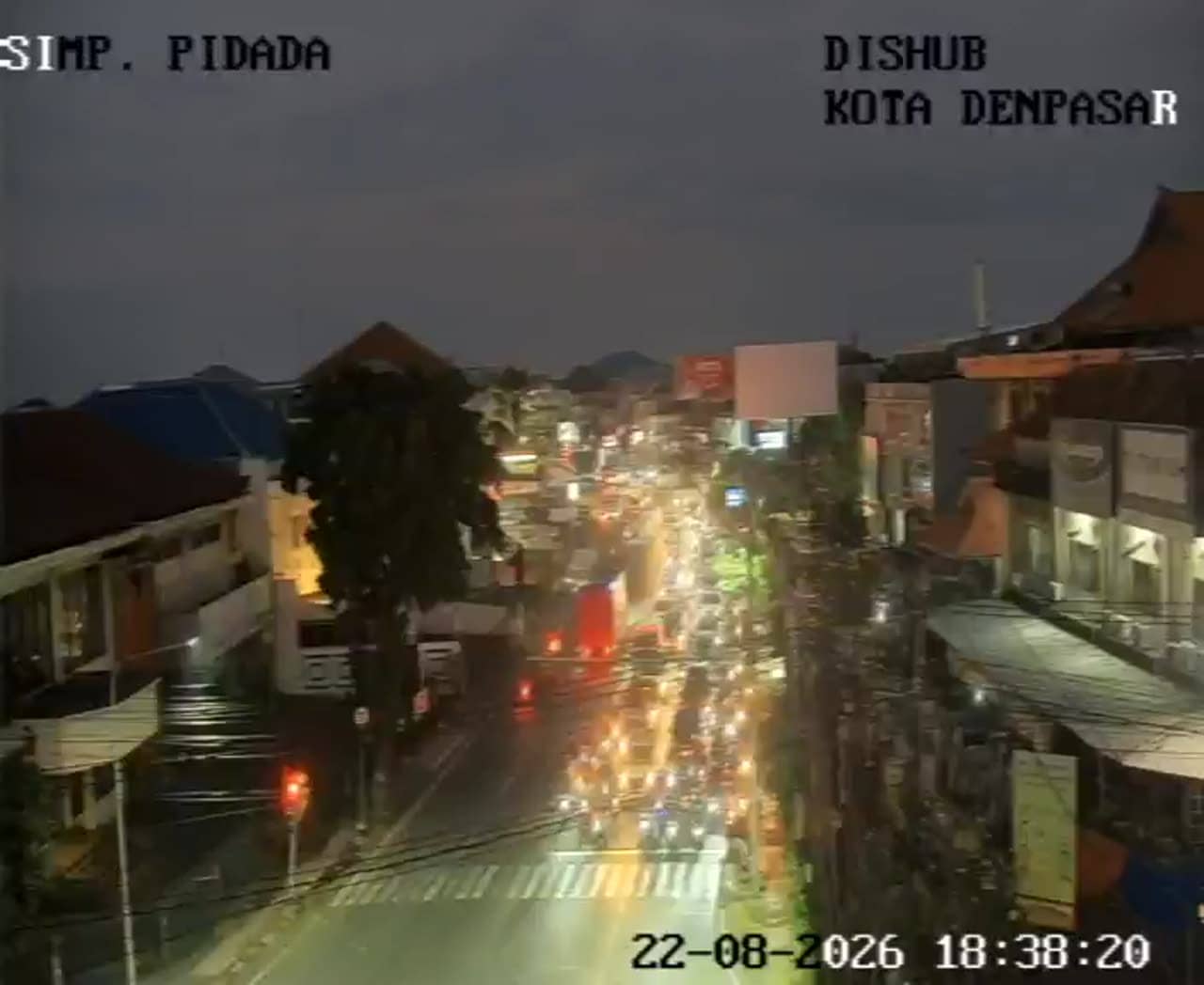
Bali, Indonesia — 0.7 km
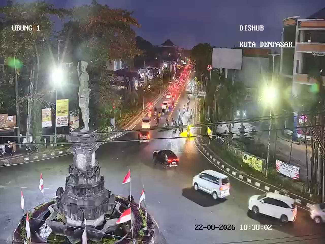
Bali, Indonesia — 1.2 km
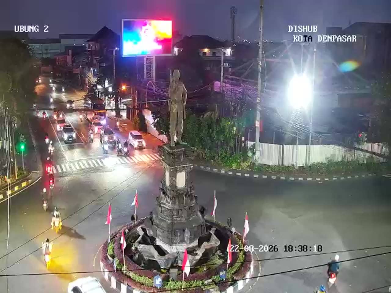
Bali, Indonesia — 1.2 km
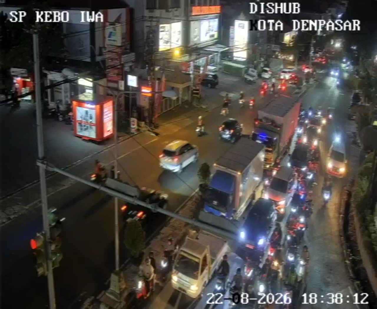
Bali, Indonesia — 1.3 km
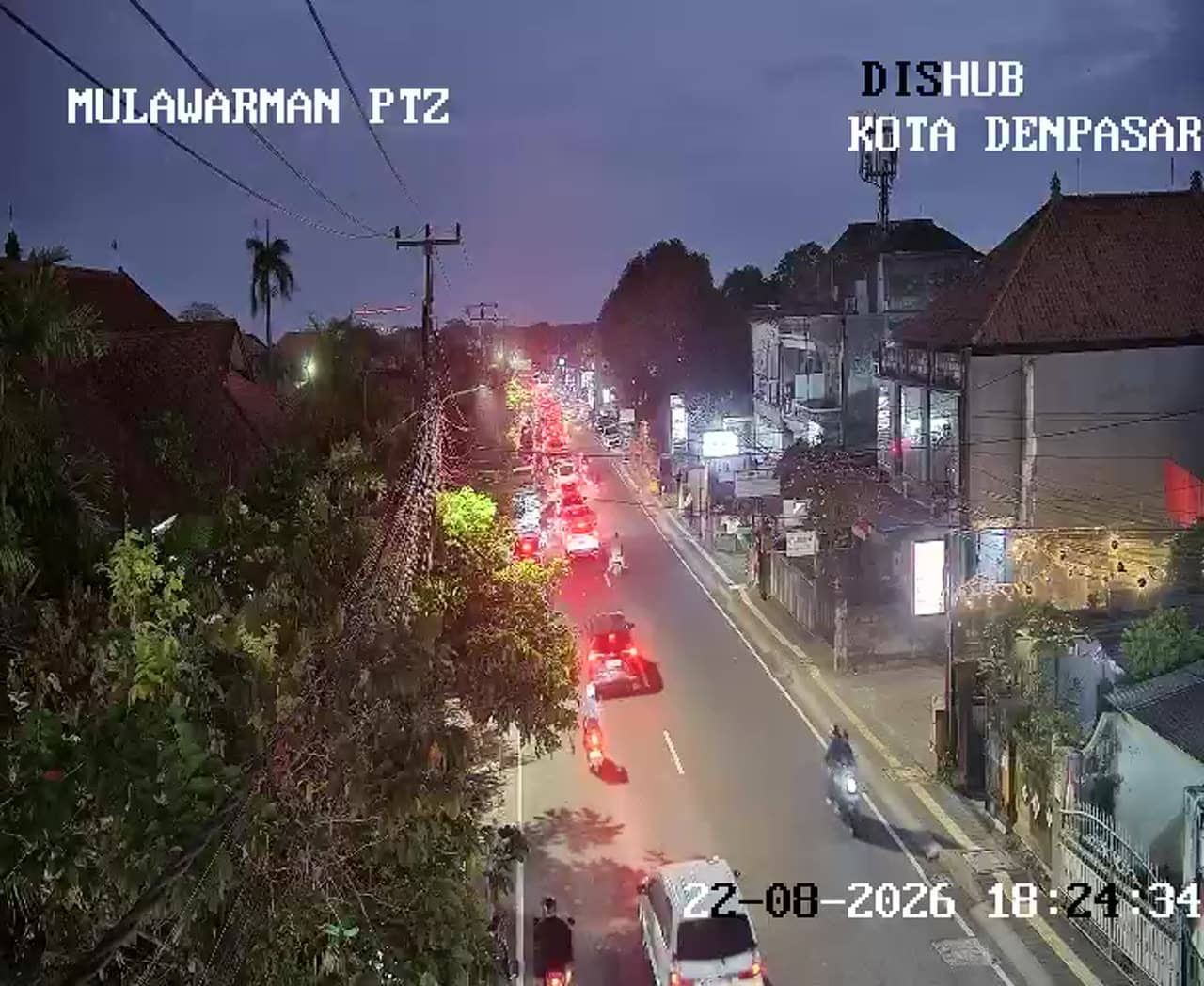
Bali, Indonesia — 1.5 km
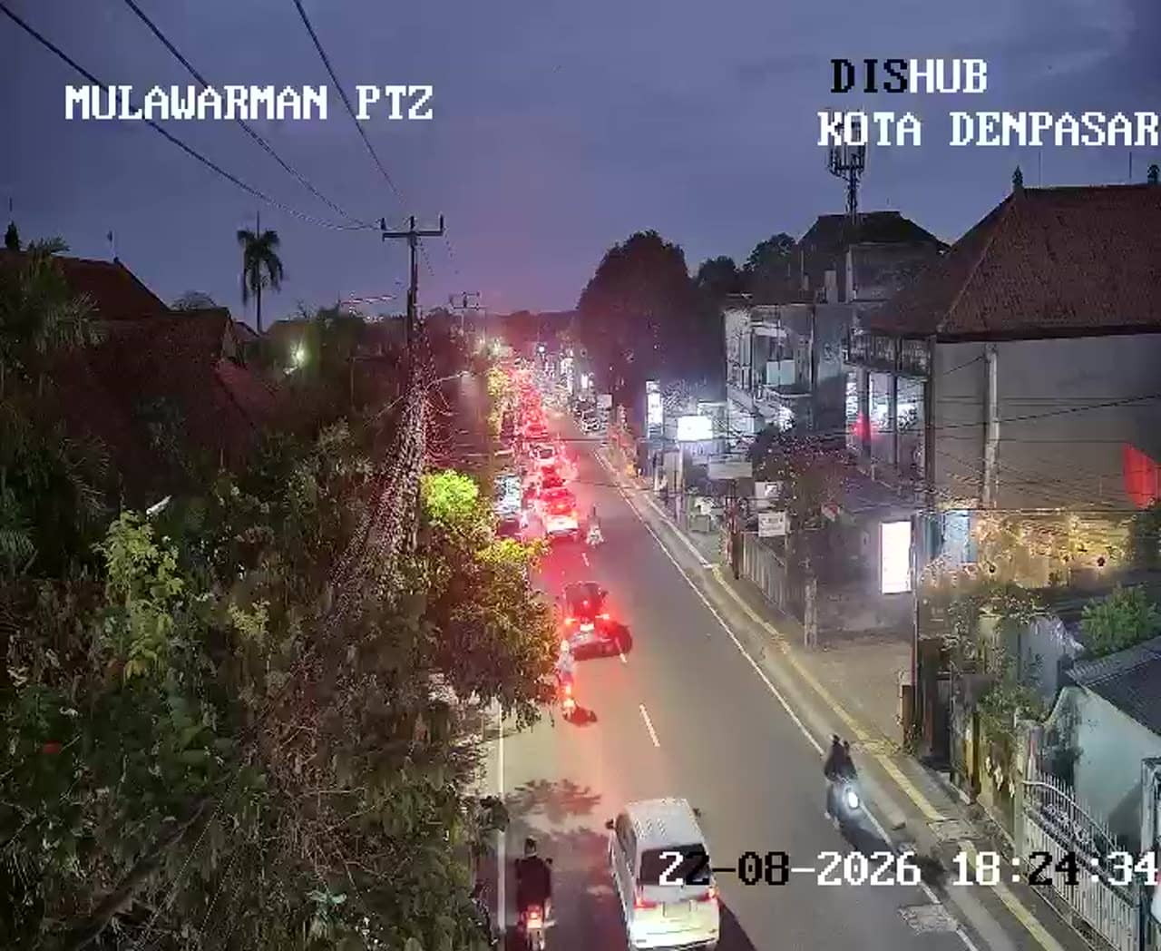
Bali, Indonesia — 1.5 km
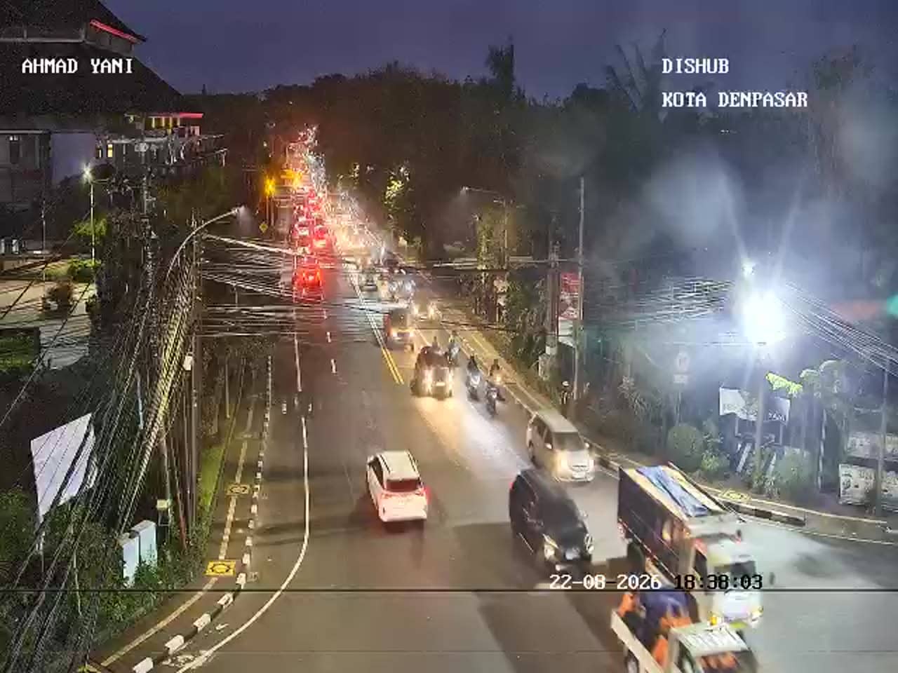
Bali, Indonesia — 1.6 km
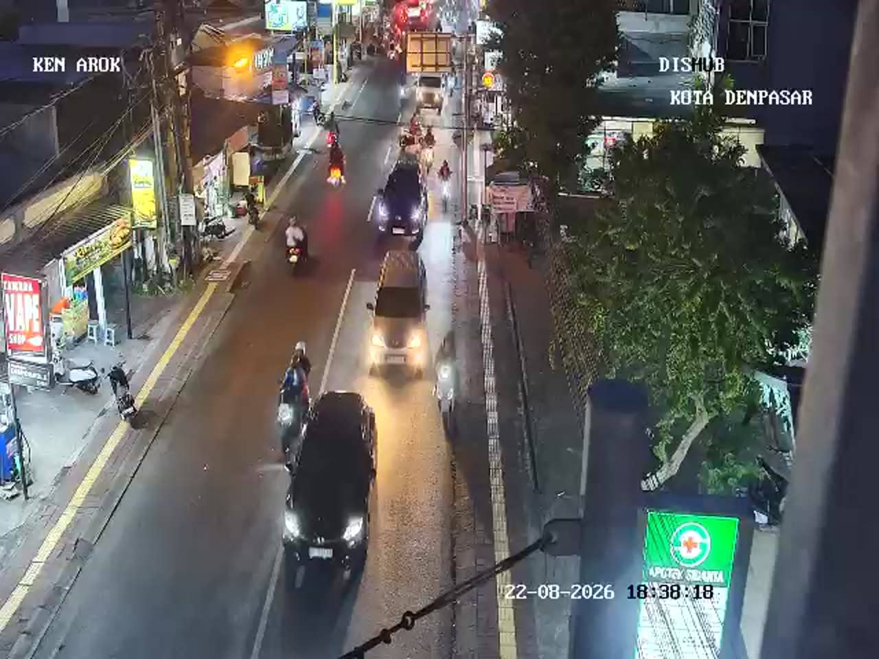
Bali, Indonesia — 1.6 km
The current conditions and a three-day forecast for Denpasar are shown on this page next to the live stream. They update with the page, so check there for the latest values.
The local time for Denpasar is displayed on this page. Bali uses the central Indonesia time zone, which is ahead of many European and some Asian time zones.
The camera is at the Simpang Gatot Subroto junction in Denpasar, Bali, Indonesia. The map on this page shows its position and the location of nearby cameras.
Weekday mornings and late afternoons are usually the busiest, so the junction shows the most movement then. Light traffic is more typical on public holidays and quieter hours.
Partner links: we may earn a commission at no extra cost to you.