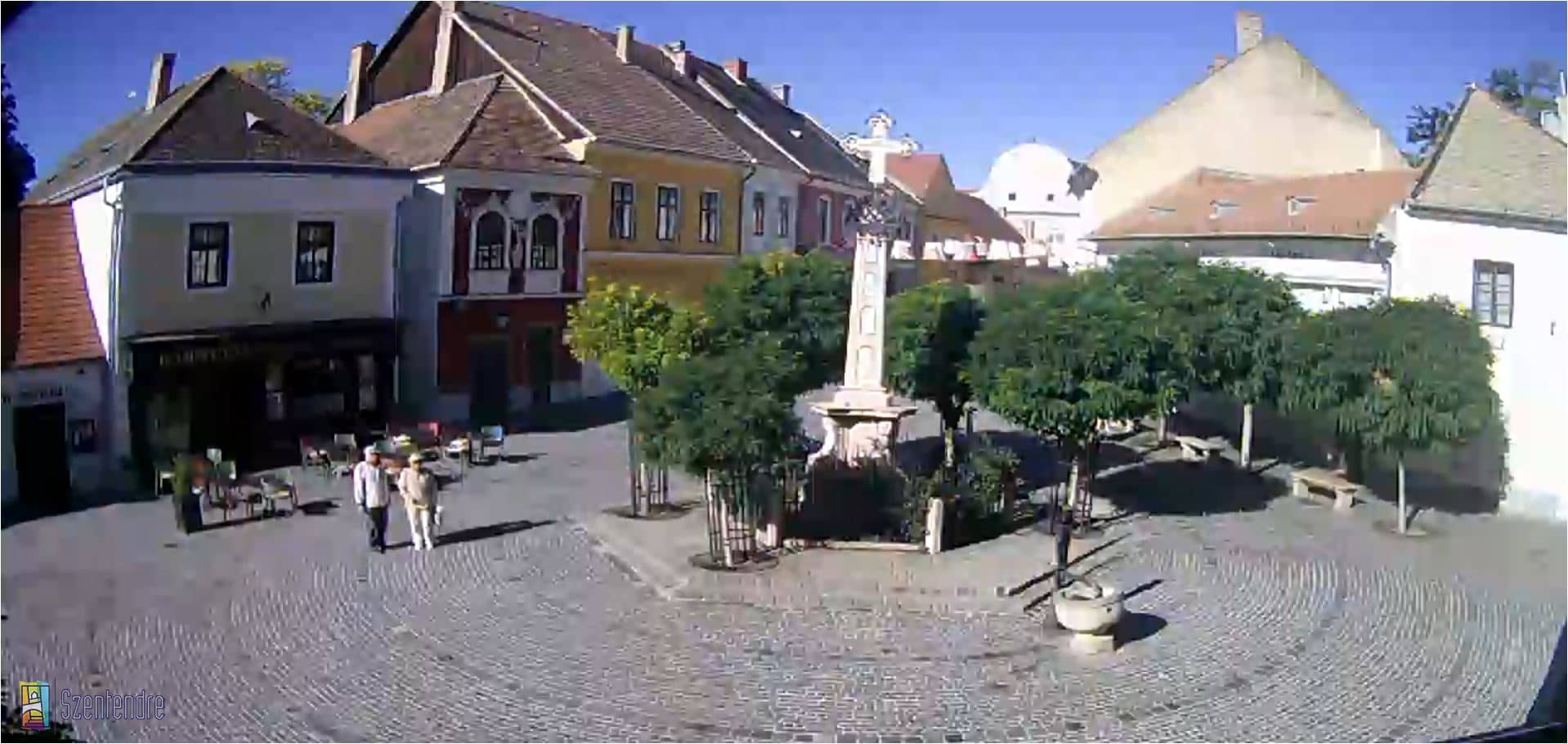
Szentendre - Fő tér
Pest County, Hungary — 14 km
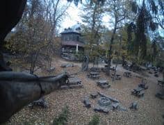
Dobogókő - Refuge Báró Eötvös Loránd
🇭🇺 Pest County · Hungary — Altitude 700 m
This live stream looks out from the Refuge Báró Eötvös Loránd on Dobogókő, a forested ridge in the Pilis hills above the Danube bend north of Budapest. It is useful for checking the sky, cloud and visibility before planning a walk or drive into the hills.
Dobogókő sits at roughly 700 metres in the Pilis range in Pest County, a short distance from Budapest. The area is known for beech and pine woodland, marked hiking trails and lookouts over the Danube valley. Its ridges make a quiet, green contrast to the city below, and the hills have long been a popular weekend destination for people from the capital.
The live feed is most useful for judging conditions on the ridge: cloud cover, fog moving through the trees, and whether the sky is clearing. Views of this kind are often clearest on cool, dry mornings after a front has passed. Seasonal change is easy to follow, from bare branches in late winter to full leaf in summer and warm autumn colours in October. The exact view depends on the camera's angle and weather.
The Pilis hills have a temperate climate with warm summers and cold, sometimes snowy winters, and the forest can be cooler and damper than the lowlands. Spring and autumn are generally the most comfortable seasons for walking. The Szentendre and Budapest cameras listed nearby show conditions further down the Danube, which can help you compare the weather at the hilltop with the river towns.
Source: Időkép
Pest County, Hungary — 14 km
Pest County, Hungary — 16 km
Nitra Region, Slovakia — 16 km
Budapest, Hungary — 17 km
Budapest, Hungary — 17 km
Komárom-Esztergom County, Hungary — 18 km
Pest County, Hungary — 18 km
Pest County, Hungary — 18 km
Komárom-Esztergom County, Hungary — 19 km
Pest County, Hungary — 20 km
The current conditions and a three-day forecast for Dobogókő are shown in the weather block on this page. Values update with the live data, so check there rather than relying on a previous visit.
The local time for Dobogókő is displayed on this page and follows Hungary's clock, including the switch between summer and winter time.
The camera is at the Refuge Báró Eötvös Loránd on the Dobogókő ridge in Pest County, Hungary, at an altitude of about 700 metres. The map on this page shows its precise position.
Clear mornings are often the most rewarding, when fog and cloud may lift from the trees. Autumn and early spring also show the forest changing colour or coming into leaf.
Partner links: we may earn a commission at no extra cost to you.