Kiskunhalas - Felsőváros – vue nord
Bács-Kiskun County, Hungary — 0 km
Kiskunhalas - Felsőváros – vue sud
🇭🇺 Bács-Kiskun County · Hungary — Altitude 130 m
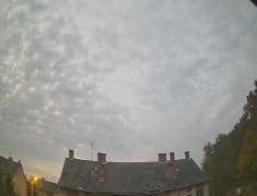
This live stream looks south over the Felsőváros part of Kiskunhalas, a market town on the Great Hungarian Plain. It is useful if you want to see how the town and its surroundings look right now, or to check conditions before travelling in the Bács-Kiskun area.
Kiskunhalas is a town of around thirty thousand people in Bács-Kiskun County, in the flat southern part of Hungary. It grew up as a centre of agriculture and trade, and its historic core sits a short distance from the wide, open horizons typical of the Great Plain. The landscape here is level farmland, orchards and pastures, with long skies that change quickly with the weather.
The view is aimed toward the south, so the most readable moments tend to be the morning, when light comes in low across the plain, and late afternoon, when the sun warms the rooftops and fields. Clear days give the best visibility, while fog or haze can soften the distant edges of the town. Seasonal change is clearest between spring greenery and the bare fields of winter. The title names only the district and direction, so check the live image for what is currently in frame.
The Great Plain has a continental climate, with hot summers, cold winters and relatively little rain, so the best time to visit is generally late spring or early autumn. Kiskunhalas is reached by road from Kecskemét and Budapest. Another VizCams camera in the same town looks north, and nearby cameras in Szank and Kiskőrös give further views across the region.
Source: Időkép
Bács-Kiskun County, Hungary — 0 km
Great Plain and North, Hungary — 19 km

Bács-Kiskun County, Hungary — 25 km
Bács-Kiskun County, Hungary — 25 km
Vojvodina, Serbia — 44 km
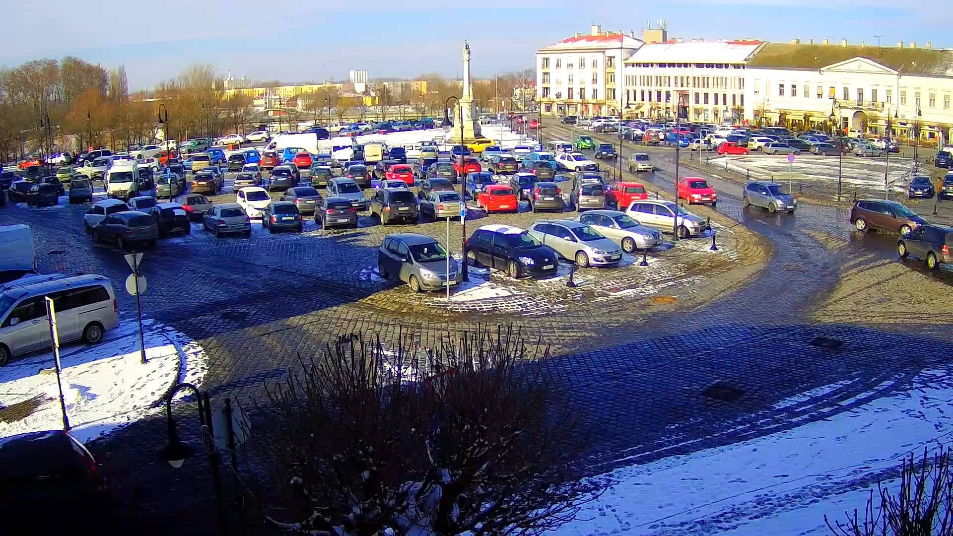
Bács-Kiskun County, Hungary — 50 km
Csongrád-Csanád, Hungary — 56 km
Csongrád-Csanád, Hungary — 56 km
Csongrád-Csanád, Hungary — 59 km
Csongrád-Csanád, Hungary — 64 km
The current conditions and the three-day forecast for Kiskunhalas are shown in the weather block on this page, updated alongside the live stream.
The local time for Kiskunhalas is displayed on this page and follows Hungarian local time, including daylight saving changes.
The camera is located in the Felsőváros district of Kiskunhalas, at about 130 metres above sea level, and the map on this page marks its position.
Early morning and late afternoon usually give the most readable light across the plain, and clear days offer the sharpest view of the town.
Partner links: we may earn a commission at no extra cost to you.