Santorini
South Aegean, Greece — 2.1 km
Fira - Rizes Gastro Taverna - Santorini Greece
🇬🇷 South Aegean · Greece — Altitude 210 m
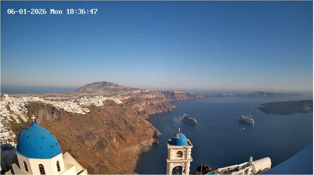
This live camera is set up in Fira, the capital of Santorini on the Greek island's caldera rim. It offers a real-time look at the town, so you can see how busy the streets are and what the light and sky look like right now. It is a practical way to plan a visit or simply to keep an eye on the island.
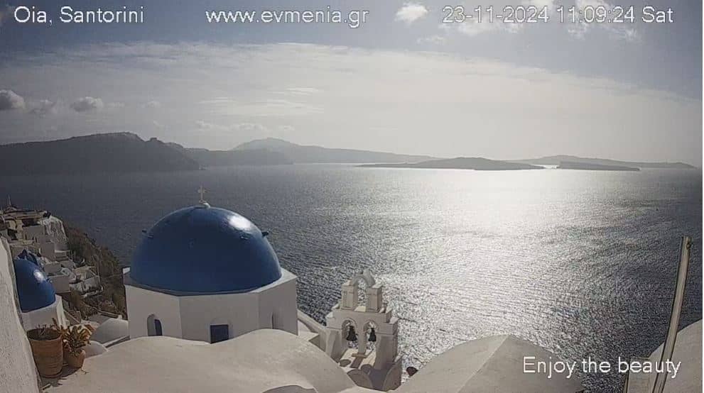
Fira sits roughly 210 metres above sea level on the western edge of Santorini, a volcanic island in the South Aegean region of Greece. The town is built in tiers along the cliffs of a flooded caldera, with whitewashed buildings, blue domes and narrow lanes that climb and descend between shops, cafés and viewpoints. The island is known for its dramatic scenery and sunsets over the water, and Fira is its main hub for visitors.
The title names a taverna in Fira, so the feed is most likely aimed at the town's streets, terraces or the caldera edge around it, but the exact view is not described in detail here. Mornings tend to be calmer, while late afternoon and early evening bring more people and the warm light that Santorini is famous for. Clear days give the best visibility over the water, and the view can change quickly with cloud or haze.
Santorini has a dry, sunny Mediterranean climate, with hot summers and mild, wetter winters. The most comfortable months for walking are usually late spring and early autumn. Ferries and flights connect the island to the wider Aegean, and the island has a second live camera nearby, Santorini - Atlantea, about 2 km away. Other cameras in the South Aegean are also listed on the page.
Source: myearthcam.com
South Aegean, Greece — 2.1 km
South Aegean, Greece — 2.1 km
South Aegean, Greece — 2.3 km
South Aegean, Greece — 3.2 km
South Aegean, Greece — 37 km
South Aegean, Greece — 49 km
South Aegean, Greece — 50 km
South Aegean, Greece — 73 km
South Aegean, Greece — 77 km
South Aegean, Greece — 79 km
The current conditions and a 3-day forecast for Fira are shown in the live weather block on this page, updated automatically.
The local time in Fira is displayed at the top of the page, so you can check it against your own time zone before watching.
The camera is in Fira, the main town of Santorini in the South Aegean, at about 210 metres elevation. The map on the page shows its position.
Late afternoon and early evening are often the most lively, and clear days give the clearest outlook. Conditions depend on the weather, which the page reports live.
Partner links: we may earn a commission at no extra cost to you.