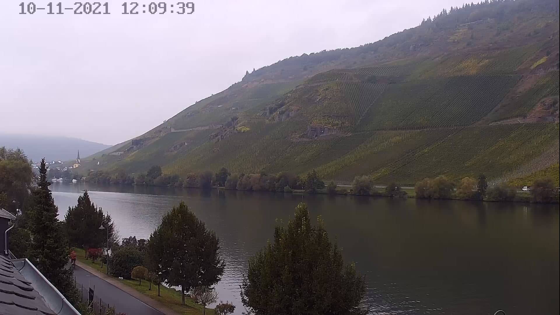
Wehlen
Rhineland-Palatinate, Germany — 21 km
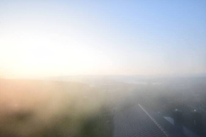
Langweiler - Das Marienhöh
🇩🇪 Rhineland-Palatinate · Germany — Altitude 560 m
This live camera looks out from the Marienhöh above Langweiler, a small village in the Hunsrück hills of Rhineland-Palatinate. It is a good way to see the open countryside and the changing light over the ridges without making the trip. The page also shows the local time and current weather so you can judge conditions before you go.
Langweiler is a small village in the Birkenfeld district, set at about 560 metres in the low mountain range of the Hunsrück. The region is known for rolling forested ridges, quiet valleys and a rural pace of life. Hiking trails, old farm landscapes and small village churches shape much of the area. Its character is calm and open rather than urban, which is what makes a panoramic view like this worth watching.
The view is a mountain panorama, so the most interesting moments depend on light and weather. Early morning often brings mist in the valleys, while clear late afternoons bring warm colours to the hills. In autumn the forests change tone, and after rain the sky can open into dramatic cloud movement. Depending on the view, you may see farmland, woodland edges and distant ridgelines. Check the live weather on this page to see whether visibility is likely to be good.
The Hunsrück has a temperate climate with cool winters, mild summers and fairly regular rainfall, and it tends to be windier and colder than the Rhine valley below. Late spring through early autumn is generally the most pleasant period for walks in the area. Nearby cameras include Wehlen about 21 km away, Kirn about 22 km away and the Bostalsee west shore about 26 km away, which gives a wider look at the surrounding landscape.
Source: panomax.com
Rhineland-Palatinate, Germany — 21 km
Rhineland-Palatinate, Germany — 22 km
Saarland, Germany — 26 km

Rhineland-Palatinate, Germany — 47 km
Rhineland-Palatinate, Germany — 49 km
Rhineland-Palatinate, Germany — 53 km
Rhineland-Palatinate, Germany — 54 km
Saarland, Germany — 56 km

Rhineland-Palatinate, Germany — 56 km
Hesse, Germany — 57 km
The current weather and a three-day forecast for Langweiler are shown in the live block on this page. Because the village sits at a higher elevation, conditions can differ from those in nearby towns.
The local time for Langweiler is shown live on this page. Germany follows Central European Time, with summer time in the warmer months.
The camera is at the Marienhöh above Langweiler in Rhineland-Palatinate, at roughly 560 metres altitude. The map on this page shows its precise position.
Clear mornings with low mist and late afternoons with warm light are often the most rewarding times. Check the live weather first to see whether visibility is good.
Partner links: we may earn a commission at no extra cost to you.