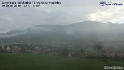
Samerberg - Vue sur Törwang sur la Hochries
Bavaria, Germany — 6.3 km
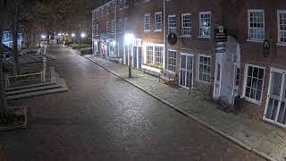
Raubling - Copy: Inn Street South
🇩🇪 Bavaria · Germany — Altitude 457 m
This live camera looks along Inn Street South in Raubling, a village in the Rosenheim district of Upper Bavaria. It suits anyone curious about everyday street life in the Bavarian countryside or wanting to check conditions before heading toward the Alps. The stream is provided by its owner and embedded here with a link back to the source.
Raubling sits on the flat Inn valley a short distance north of Rosenheim, with the Bavarian Alps rising to the south. The Inn river shaped the landscape here for thousands of years, leaving broad meadows, farmland and forest edges. It is a quiet community rather than a tourist destination, and its character is shaped by farming, commuting to nearby towns and easy access to the mountains.
The view follows the street, so you can judge traffic levels, the weather and the light at a glance. Mornings and early evenings on weekdays tend to be busiest, while weekends are calmer. Clear days often reveal the mountain skyline in the distance, though fog or low cloud can hide it, especially in autumn and winter. Depending on the view, you may also notice seasonal changes in the trees and gardens.
Upper Bavaria has a temperate climate with warm summers and cold, often snowy winters. Late spring through early autumn is the most pleasant period for walks and cycling in the region. Raubling is reachable by regional train and road from Rosenheim, and the nearby cameras on this site cover mountain viewpoints and resorts within roughly 13 to 18 km, including Bayrischzell and Aschau.
Source: CamStreamer
Bavaria, Germany — 6.3 km
Bavaria, Germany — 8.2 km
Bavaria, Germany — 10 km
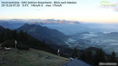
Bavaria, Germany — 10 km
Bavaria, Germany — 10 km
Bavaria, Germany — 10 km
Bavaria, Germany — 13 km
Bavaria, Germany — 13 km
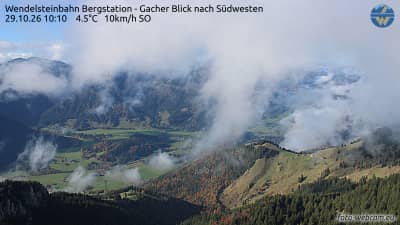
Bavaria, Germany — 13 km
Bavaria, Germany — 15 km
The current conditions and a 3-day forecast for Raubling appear in the weather block on this page, updated with the latest available data. Check it before planning a trip to the Inn valley or the nearby mountains.
The local time for Raubling is shown on this page and follows the Central European time used across Germany. The clock updates automatically so you can compare it with your own time zone.
The camera is in Raubling in the Rosenheim district of Bavaria, Germany, at about 457 metres above sea level. A map on this page marks its position relative to Rosenheim and the surrounding Alpine area.
Weekday mornings and early evenings show the most activity on the street. For clear views of the mountains, look on dry, cold days after a change in the weather, when the air is often clearest.
Partner links: we may earn a commission at no extra cost to you.