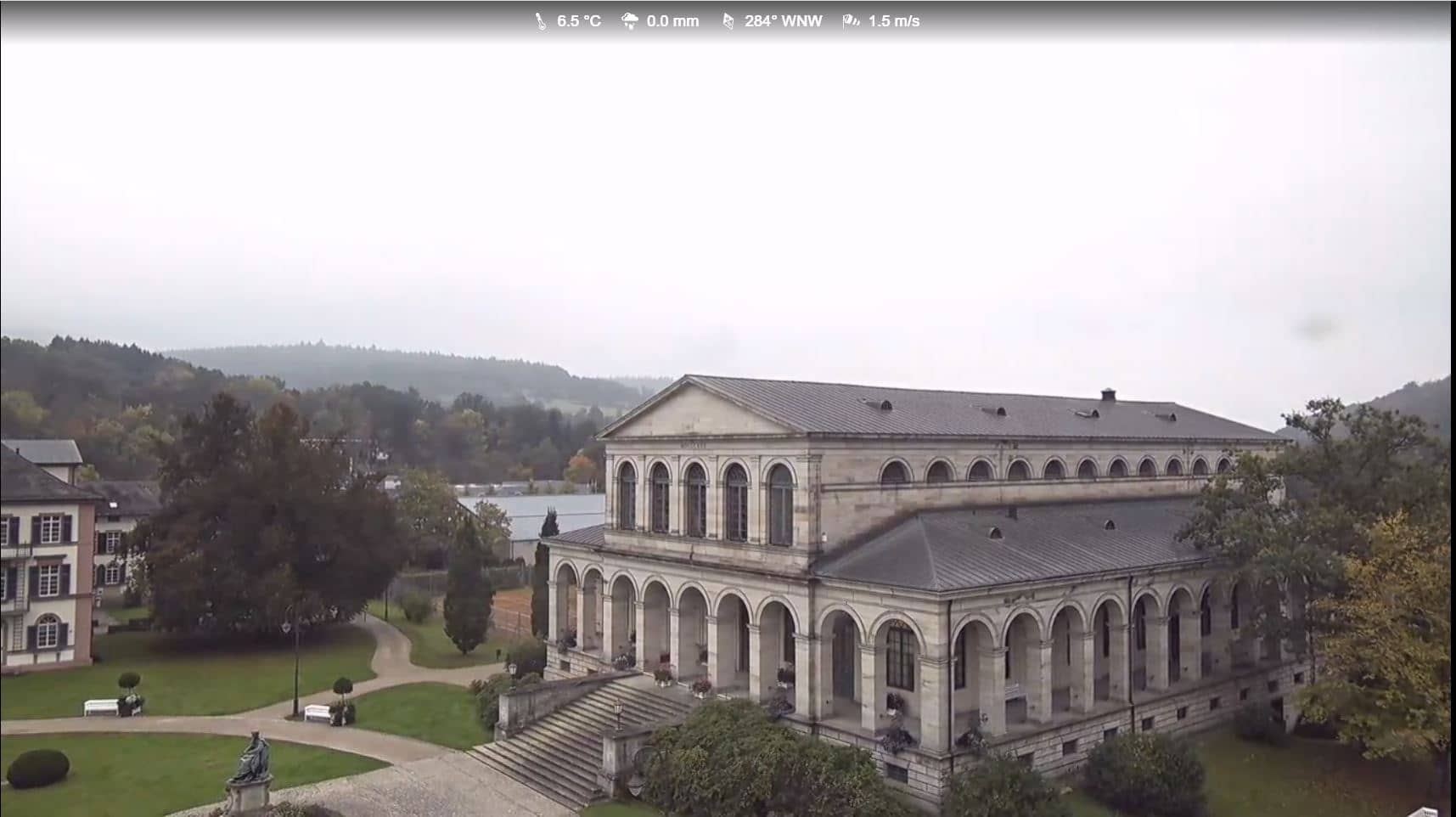
Bad Kissingen - Regentenbau
Bavaria, Germany — 0.4 km
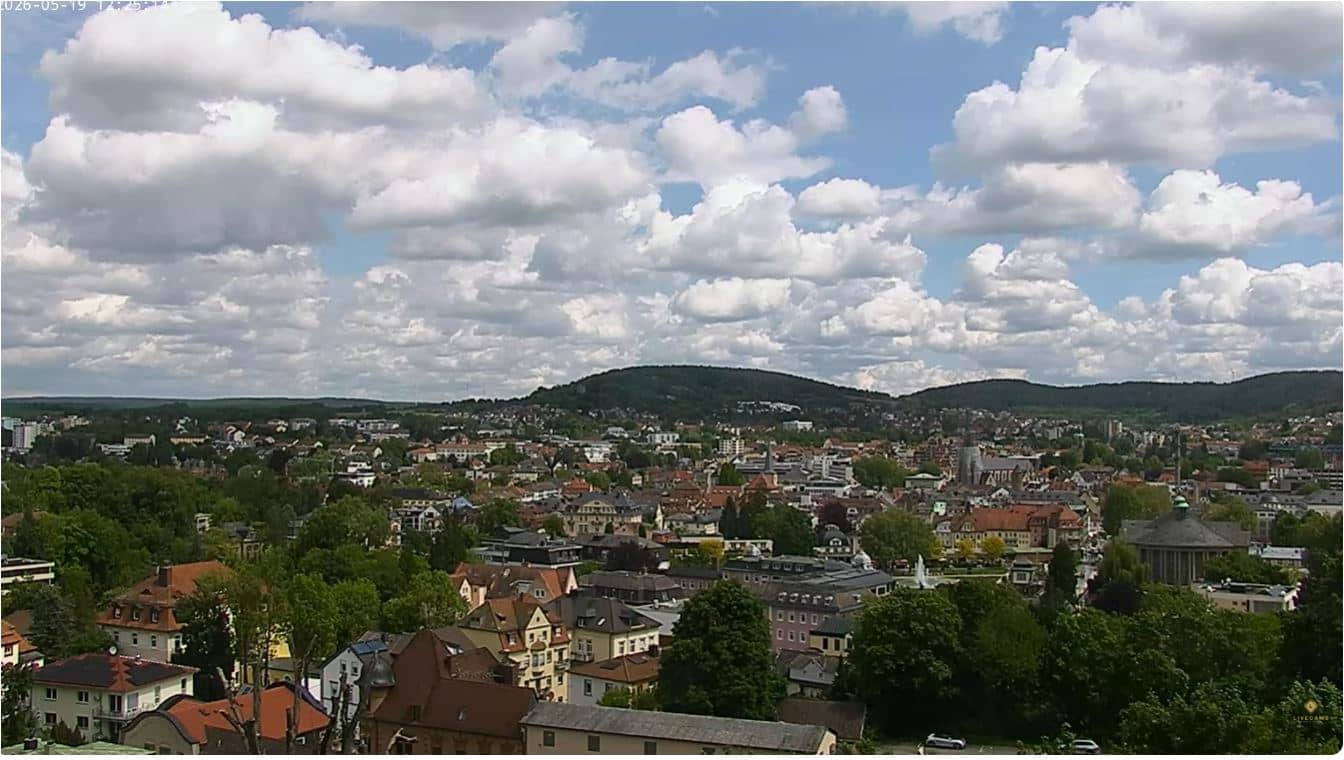
🇩🇪 Bavaria · Germany — Altitude 238 m
This live camera shows the spa town of Bad Kissingen in the Bavarian region of Lower Franconia. Use it to see current conditions in town before a visit or to follow the view from a distance. The page adds local time and a three-day forecast next to the stream.
Bad Kissingen lies in the valley of the Franconian Saale, at the edge of the Rhön mountains. It grew around its mineral springs in the nineteenth century and is still known for its spa tradition, its parks and its elegant historic buildings. The surrounding hills are wooded and the town has a calm, gardened character that many visitors come for.
The title names the town rather than a specific landmark, so the exact framing is best judged on the live player itself. Depending on the view, you may see streets, rooftops, greenery or the Saale area. Daylight hours are most useful for judging conditions, and seasonal changes in foliage are often visible from late spring to autumn.
Bad Kissingen has a temperate continental climate with warm summers and cold winters, so late spring and early autumn are pleasant for walking. Trains and regional buses connect the town with Würzburg and Schweinfurt. Nearby on VizCams are the Trimburg camera about 9 km away and the Rhön skycam at Riedenberg, which show the wider mountain landscape.
Source: livecamsrhoenundsaale
Bavaria, Germany — 0.4 km
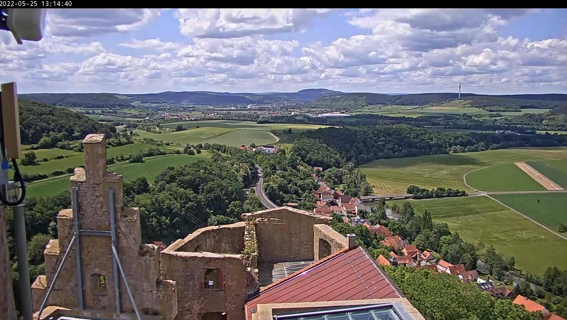
Bavaria, Germany — 9.2 km
Bavaria, Germany — 18 km

Bavaria, Germany — 19 km
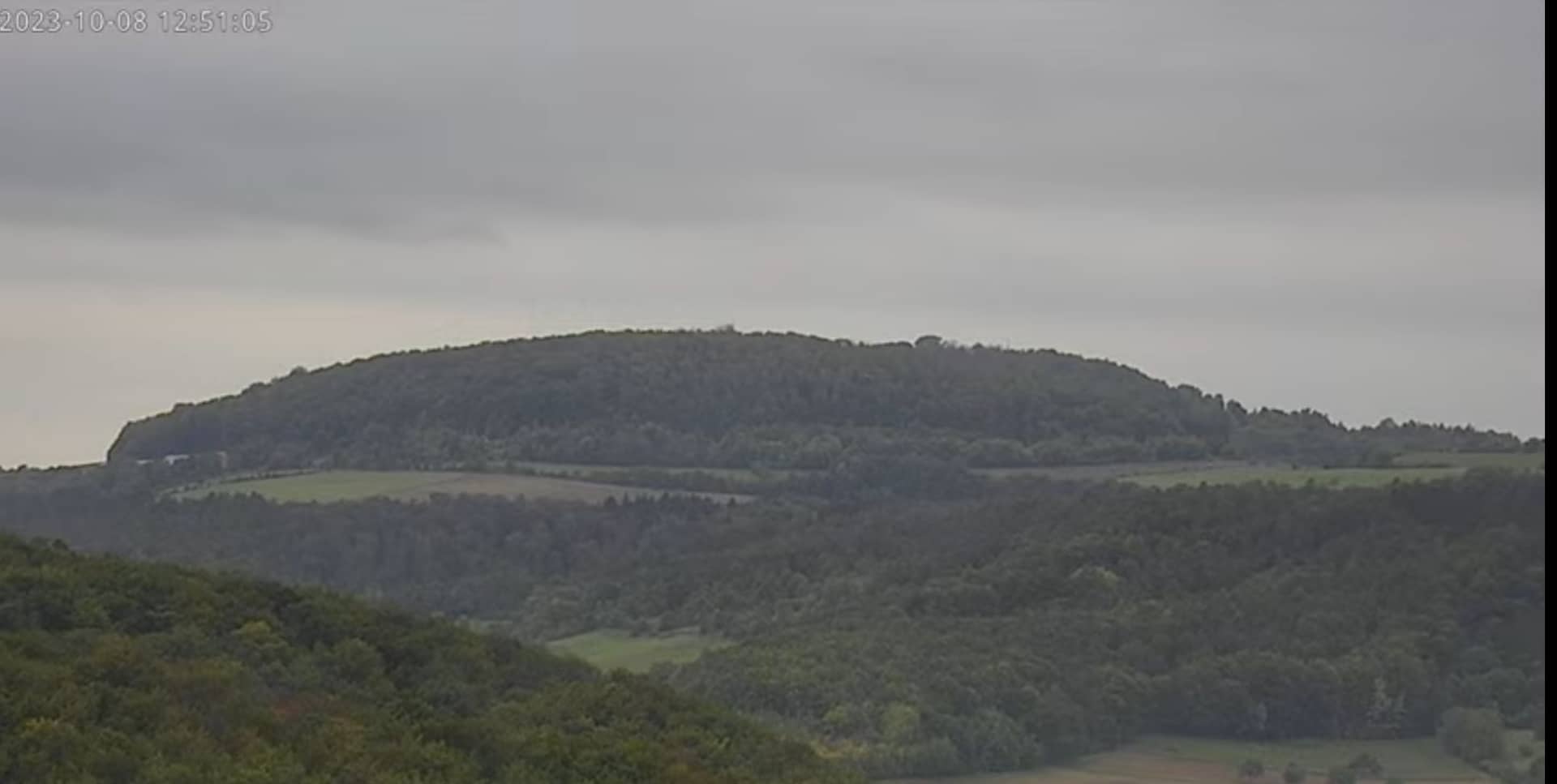
Bavaria, Germany — 22 km
Bavaria, Germany — 26 km
Bavaria, Germany — 31 km
Hesse, Germany — 35 km
Hesse, Germany — 45 km
Bavaria, Germany — 46 km
The current conditions and the three-day forecast are shown in the live weather block on this page. They update with the page, so check there before planning a walk or a trip.
The local time is displayed on this page and follows the local clock of Bavaria, including daylight saving changes.
The camera is in Bad Kissingen in Lower Franconia, Germany, at about 238 metres above sea level. The map on this page marks its location.
Daytime is best for seeing the town clearly, and spring to autumn shows the greenery at its fullest. Weather changes can also be interesting to follow from the stream.
Partner links: we may earn a commission at no extra cost to you.