
Oberammergau - Hörnlebahn
Bavaria, Germany — 18 km
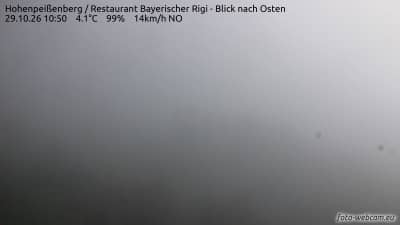
Hohenpeißenberg - Restaurant Bayerischer Rigi - vue vers l'est
🇩🇪 Bavaria · Germany — Altitude 988 m
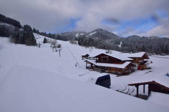
This camera looks east from the restaurant on the Hohenpeißenberg, a hill in the Pfaffenwinkel area of Upper Bavaria. It offers a quick check of the sky, cloud cover and visibility over the foothills before you head out. The stream is provided by its owner and embedded here with a link to the source.
Hohenpeißenberg is a hill of about 990 metres in the Bavarian Alpine foreland, south-west of Munich, near the town of Hohenpeißenberg. Its summit is known for the historic weather observatory founded in the eighteenth century, one of the oldest continuous weather records in the world. The landscape around it is a mix of farmland, small lakes and moraine hills, with the Alps visible on clear days to the south.
Judging from the title, the picture is taken from the restaurant on the hill and aimed eastward across the surrounding countryside. Depending on the view, you may see fields, woodland and villages rolling away toward the horizon. The most useful moments are usually early morning, when valley mist and low cloud are most visible, and late afternoon, when the light is softer. Haze and cloud can hide distant hills, so check the live weather block on the page first.
The Alpine foreland has a temperate climate with warm summers and cold, often snowy winters, and autumn can bring long stretches of fog in the lowlands. Clear, settled days in spring and early autumn tend to give the best visibility. The hill is reachable by car and local buses from Weilheim. Nearby cameras on VizCams include Oberammergau and Murnau, which show other parts of the Bavarian Alps.
Source: foto-webcam.eu
Bavaria, Germany — 18 km
Bavaria, Germany — 19 km
Bavaria, Germany — 20 km
Bavaria, Germany — 20 km
Bavaria, Germany — 21 km

Bavaria, Germany — 22 km

Bavaria, Germany — 23 km

Bavaria, Germany — 25 km

Bavaria, Germany — 25 km
Bavaria, Germany — 26 km
The current conditions and three-day forecast for Hohenpeißenberg are shown in the weather block on this page. Because the hill is exposed, wind and cloud can differ noticeably from the valley below.
The local time for Hohenpeißenberg is displayed live on this page. Germany follows Central European Time, with summer daylight saving time in the warmer months.
The camera is on the Hohenpeißenberg in Upper Bavaria, at an altitude of about 988 metres. The map on this page shows its position relative to Munich and the Alpine foreland.
Early mornings and clear days are the most rewarding, when visibility is highest and any valley fog or cloud layers are easy to see. Check the live weather first to judge whether distant views are likely.
Partner links: we may earn a commission at no extra cost to you.