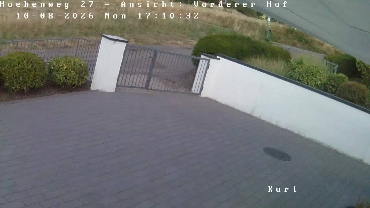
Hirschberg an der Bergstraße - Kurt
Baden-Württemberg, Germany — 12 km
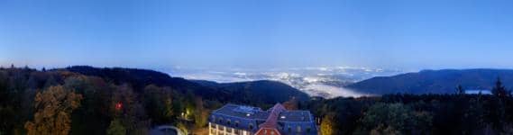
Heidelberg - Berggasthof Königstuhl
🇩🇪 Baden-Württemberg · Germany — Altitude 371 m
This camera looks out from the mountain inn on the Königstuhl, the wooded ridge that rises above Heidelberg. It is useful for checking how the city and the Neckar valley look right now, and whether the haze or cloud cover is lifting before a visit.
The Königstuhl is the highest point of the hills overlooking Heidelberg, at about 568 metres. Its forested slopes are part of the Odenwald edge, and the ridge is well known for its old observatory, the funicular that climbs from the city, and its walking trails. Heidelberg itself lies in a narrow valley where the Neckar leaves the hills, with its castle and old town spread along the river below.
The camera is most rewarding on clear mornings and in the hour before sunset, when the valley is lit warmly and the town and river stand out clearly. In autumn the surrounding woods change colour, while winter often brings low cloud that can hide the city below. Haze and humidity in summer can soften the view, so the live feed is the best guide on any given day.
Heidelberg has a mild climate for Germany, with warm summers and relatively dry autumns, which makes the hills popular for walking from spring to October. The funicular and footpaths are the usual ways up. Nearby on VizCams you can compare the view with cameras at Hirschberg an der Bergstraße and Mannheim along the same river plain.
Source: roundshot.com
Baden-Württemberg, Germany — 12 km

Baden-Württemberg, Germany — 18 km
Baden-Württemberg, Germany — 20 km
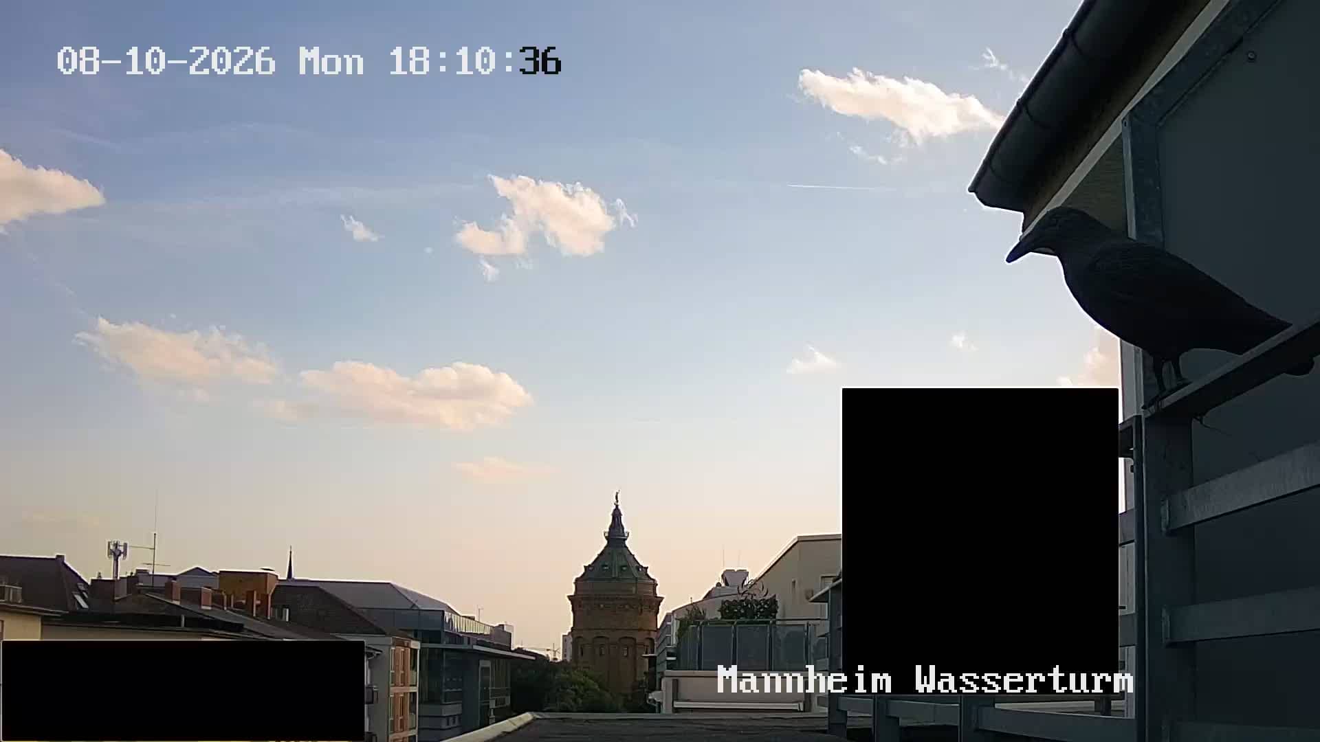
Baden-Württemberg, Germany — 20 km

Hesse, Germany — 23 km
Rhineland-Palatinate, Germany — 37 km
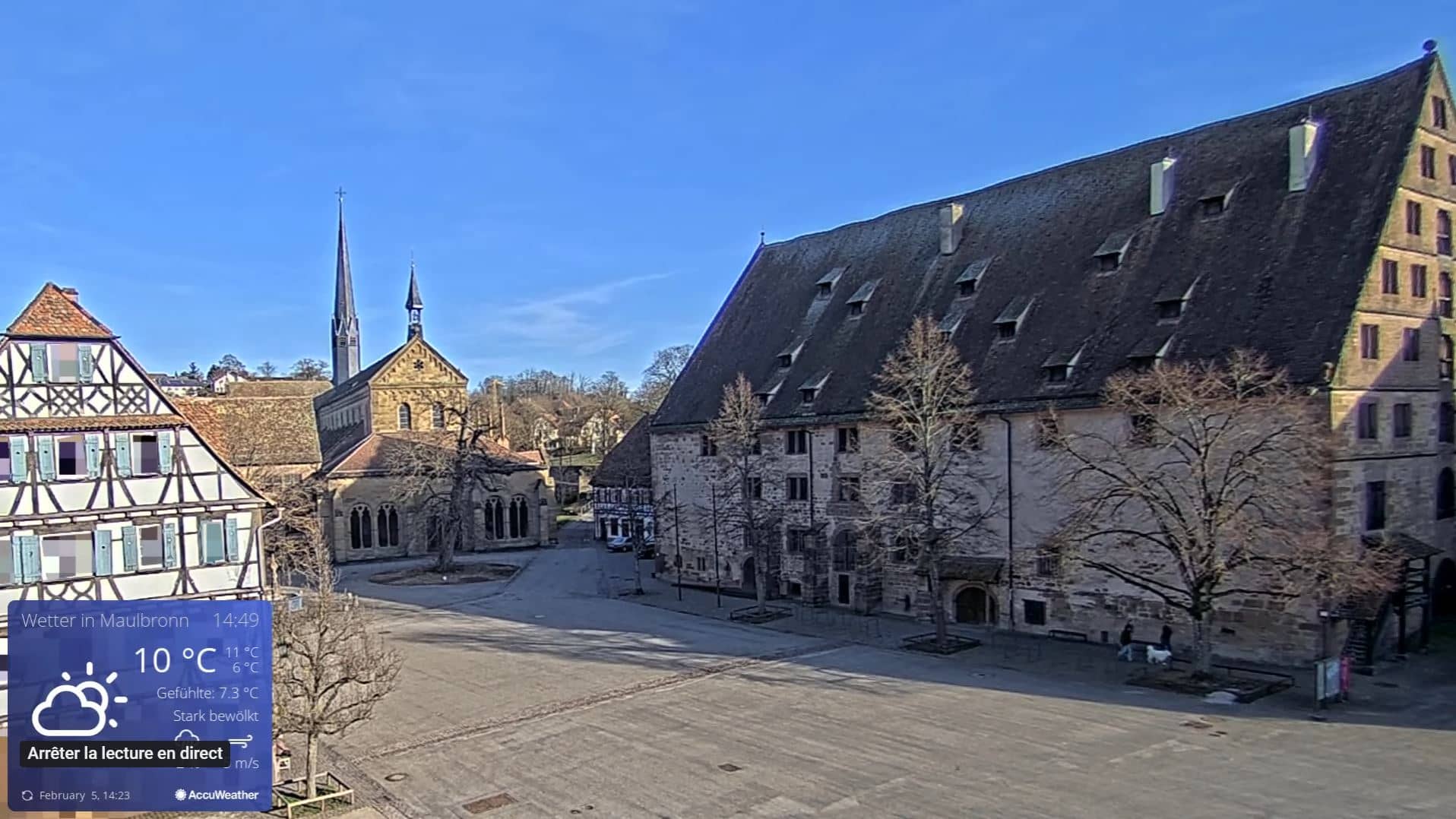
Baden-Württemberg, Germany — 45 km
Rhineland-Palatinate, Germany — 48 km
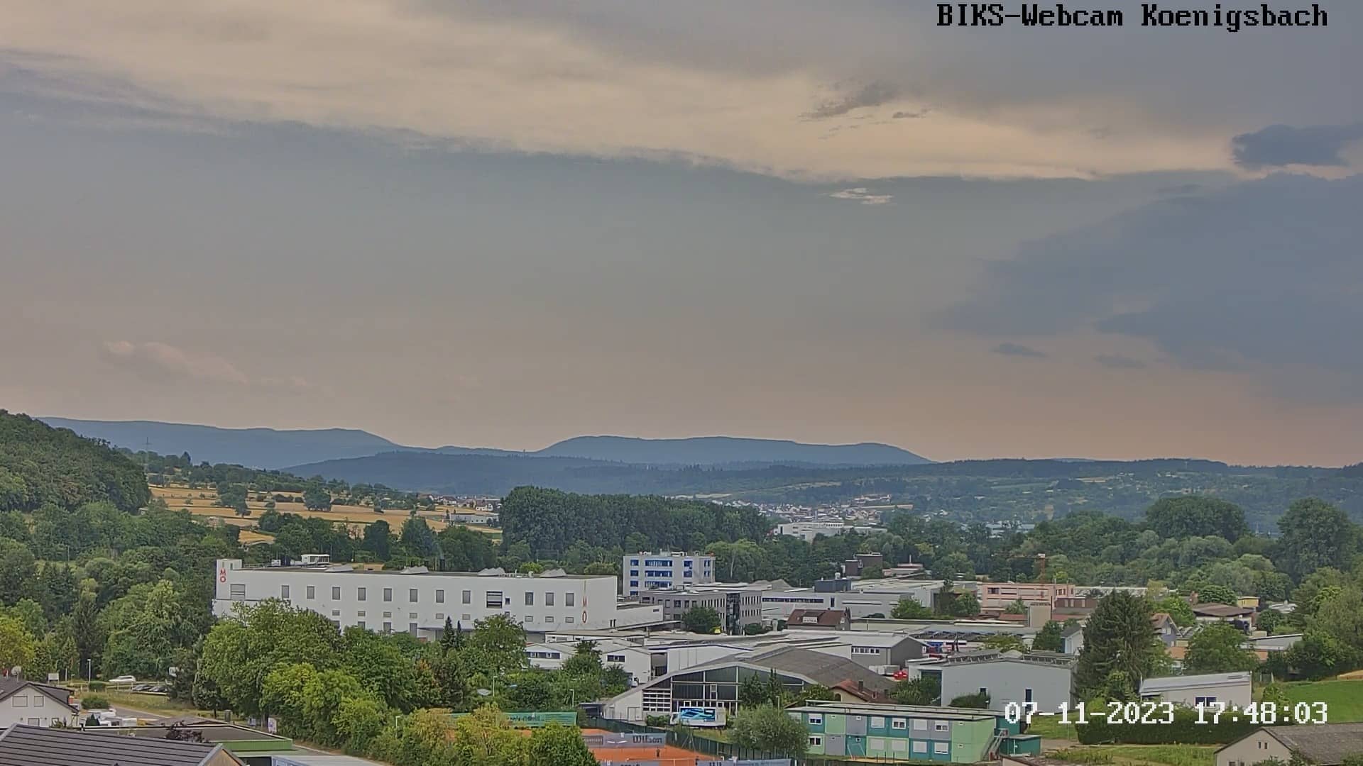
Baden-Württemberg, Germany — 48 km
Hesse, Germany — 52 km
The current conditions and a three-day forecast for Heidelberg are shown in the weather block on this page, and they update as the page refreshes. Check them before planning a walk up the Königstuhl.
The local time for Heidelberg is displayed on this page, following German local time with daylight saving. It is shown in the time block above the camera.
The camera is at the mountain inn on the Königstuhl above Heidelberg, at about 371 metres altitude. A map on the page marks its position relative to the city and the Neckar valley.
Early mornings and the hour before sunset usually give the clearest light over the valley. Clear days in spring and autumn tend to offer the sharpest view, while winter fog can hide the town.
Partner links: we may earn a commission at no extra cost to you.