
Saint-Barth - Aéroport
Saint Barthélemy, France — 0.3 km

The camera is temporarily offline
The owner's stream is not available right now. Try again later or watch a camera nearby.
St-Barth - Plaine de Saint-Jean
🇫🇷 Saint Barthélemy · France — Altitude 107 m
This live image looks out over the Plaine de Saint-Jean on the island of Saint Barthélemy in the French Antilles. It refreshes regularly, so you can check how the plain and the sky look before planning a trip or a day on the island. The page also shows the local time and the weather for the island.
Saint Barthélemy is a small volcanic and limestone island in the Lesser Antilles, governed by France and known for its quiet villages, boutique hotels and sheltered bays. The Plaine de Saint-Jean sits near the island's airport and the bay that carries the same name, a flat stretch framed by low hills and dry scrub. It is one of the most familiar landmarks for arrivals, since planes cross it on approach.
The camera is a regular image rather than a continuous stream, so it is best used as a snapshot of current conditions. Daytime offers the clearest light and the best view of the sky and the water beyond the plain. Late afternoon often brings a softer colour to the hills, and cloud build-up over the island is worth watching during the wetter months. Expect the picture to change with the weather and the time of day.
The island has a warm, mostly dry climate, with trade winds moderating the heat for much of the year. The most pleasant months are generally from December to May, while the rainy season from roughly August to November brings more showers and a higher chance of storms. The island is small and the airport is a short drive from the Gustavia port, which is also visible on a nearby camera.
Source: St-Barth
Saint Barthélemy, France — 0.3 km

Saint Barthélemy, France — 0.7 km
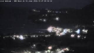
Saint Barthélemy, France — 0.8 km

Saint Barthélemy, France — 1.9 km

Saint Barthélemy, France — 2.3 km

Saint Barthélemy, France — 3 km
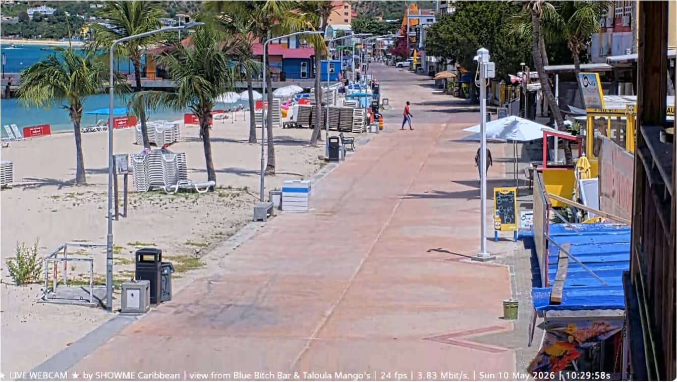
Saint Martin, St. Martin — 25 km
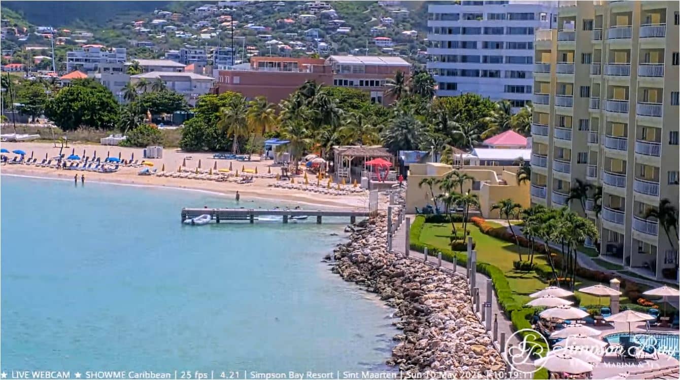
Saint Martin, St. Martin — 30 km

Saint Martin, St. Martin — 30 km

Saint Martin, St. Martin — 33 km
The current conditions and a three-day forecast for the island are shown in the weather block on this page, and they update automatically.
The local time for the island is displayed on this page, so you can compare it with your own time zone before you watch the view.
The camera looks over the Plaine de Saint-Jean in the north-east of the island, near the airport. The map on this page marks its position.
Daylight hours give the clearest picture of the plain and the sky. If you want to judge the weather before a visit, check it in the morning and again in the afternoon.
Partner links: we may earn a commission at no extra cost to you.