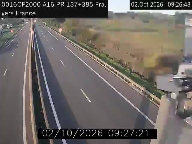
Ghyvelde - A16 frontière Fr -> Bel
Hauts-de-France, France — 0.3 km
The camera is temporarily offline
The owner's stream is not available right now. Try again later or watch a camera nearby.
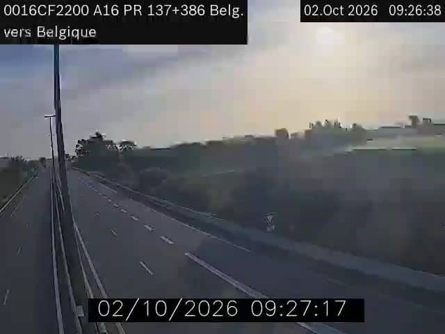
Ghyvelde - A16 frontière Bel -> Fr
🇫🇷 Hauts-de-France · France
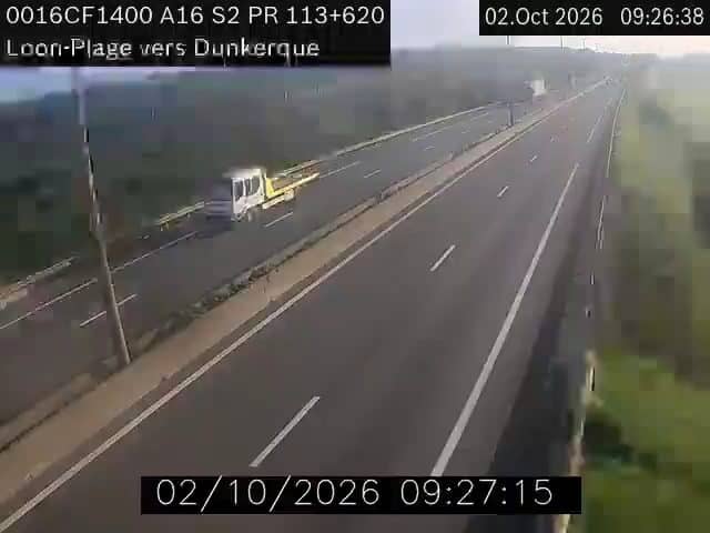
This camera watches the A16 motorway at the Ghyvelde border point, where traffic moves between Belgium and France on the northern coast. It is useful if you are planning a crossing, checking for congestion, or simply curious about how busy this route is at a given hour.
Ghyvelde is a small village in the Hauts-de-France region, close to the Belgian frontier and a short drive from the North Sea coast. The A16 is one of the main routes linking the Channel ports and Dunkirk with Belgium and the Netherlands. The landscape around it is flat, shaped by dunes and polder fields, and the area lies in the wider Flemish–French borderland where the two countries meet without any natural barrier.
The camera is aimed at the motorway itself, so the view is mainly about vehicles, lanes and flow rather than scenery. Traffic tends to build during weekday morning and late afternoon commuting peaks, and during holiday departures and returns, when lorries and cars heading to and from the coast become more visible. Weather conditions such as fog, rain or low winter light can change the view considerably, depending on the time of year.
The climate here is mild and maritime, with cool summers and wet, windy winters, so the best conditions for a clear view are usually late spring and early autumn. If you are travelling through, nearby cameras include the opposite direction of this same crossing, as well as views from La Panne, Sint Idesbald and Coxyde along the Belgian coast, which give a useful sense of conditions on the road ahead.
Source: bison-fute.gouv.fr
Hauts-de-France, France — 0.3 km
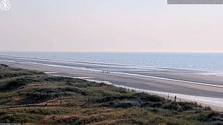
West Flanders, Belgium — 4.8 km
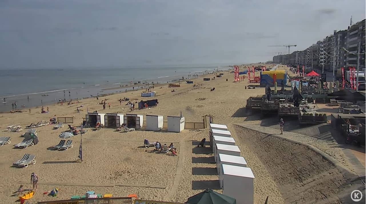
Flemish Region, Belgium — 7 km
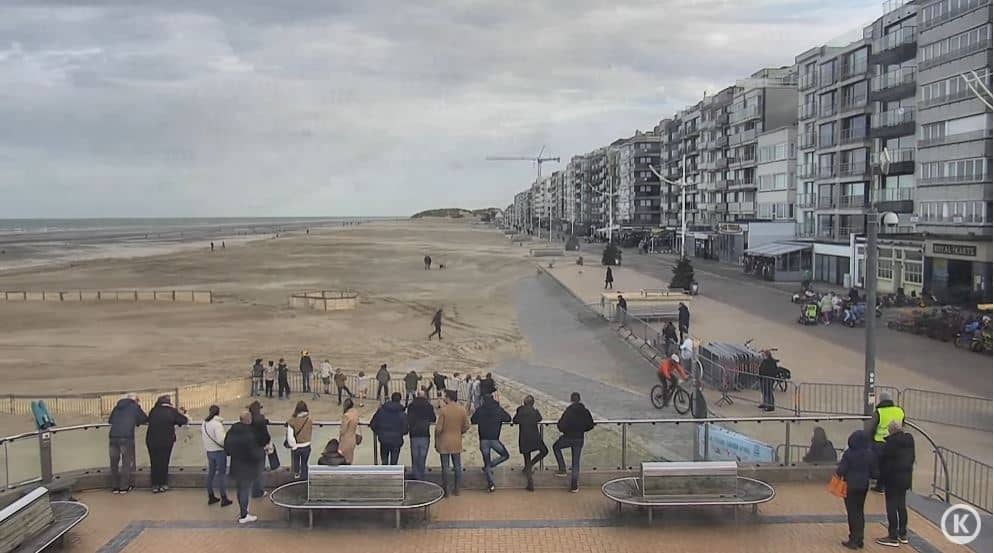
Flemish Region, Belgium — 8.8 km
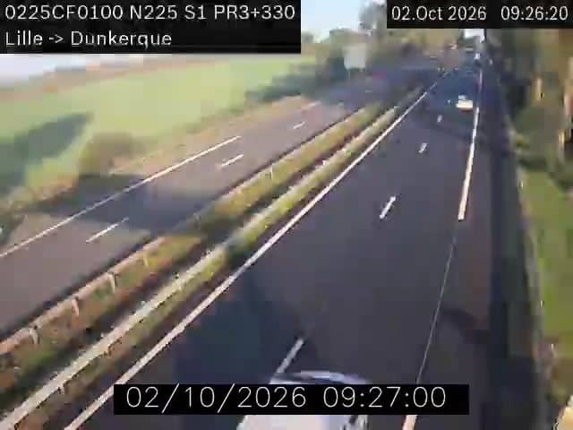
Hauts-de-France, France — 15 km

Hauts-de-France, France — 15 km
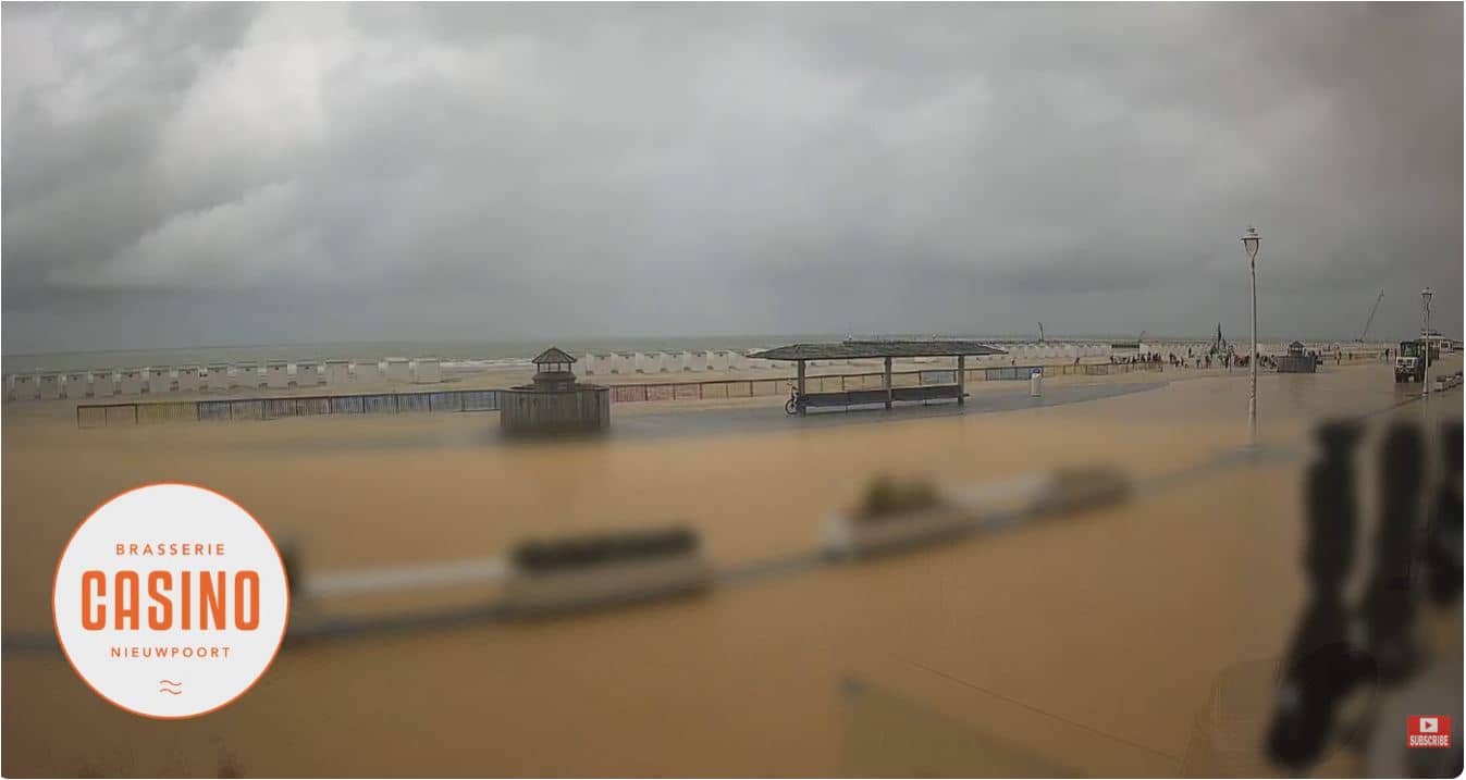
West Flanders, Belgium — 15 km
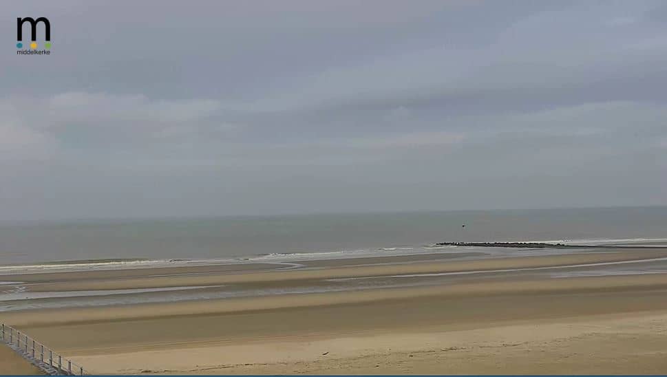
Flemish Region, Belgium — 20 km
Hauts-de-France, France — 23 km
Flemish Region, Belgium — 31 km
The current weather and a three-day forecast for Ghyvelde are shown in the live block on this page. They update automatically, so you can check conditions before you set off.
The local time for Ghyvelde is displayed on this page and follows the local clock for the area, including daylight saving changes. Use it to compare with your own time before planning a crossing.
The camera is on the A16 motorway at the Ghyvelde border crossing between Belgium and France, on the northern coast. A map on this page marks its position.
Weekday rush hours and school holiday travel periods are usually the most active. For traffic checks, look shortly before your planned departure, since flow can change quickly.
Partner links: we may earn a commission at no extra cost to you.