Caudan - N165
Brittany, France — 6 km
🇫🇷 Brittany · France — Altitude 30 m
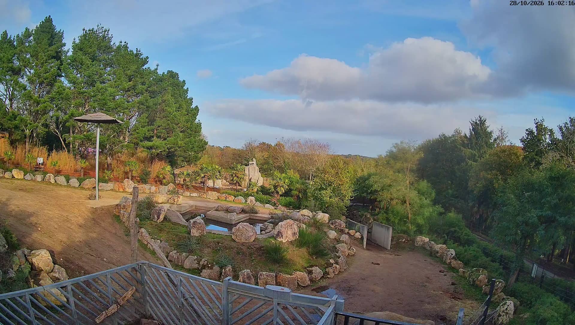
This live stream from Les Terres de Nataé in the Morbihan part of Brittany lets you see the spot as it is right now. Check it before heading out to judge the light, the sky and the general conditions along this stretch of coast.
Les Terres de Nataé lies on the southern coast of Brittany, close to the Gulf of Morbihan area and a short drive from the ferry towns of the Quiberon peninsula. The region is known for its mix of sheltered inlets, low dunes, salt marshes and small harbours, with a landscape that changes quickly with the tide. The coast here sits only a few dozen metres above sea level, so the sea and the sky tend to dominate the view.
The stream is most rewarding in the early morning and in the hour before sunset, when low light brings out the texture of the shoreline and the colour of the water. Brittany's weather moves fast, so cloud shadows, rain showers and sudden clearings are common, and a quick look can tell you a lot about the day. Tides change the scene noticeably, so the same view can look very different a few hours apart.
The Breton coast has a mild, damp maritime climate. Summers are cool by most European standards, and spring and early autumn often bring the clearest skies with fewer crowds. Winters are wet and windy. Nearby, you can compare conditions at the Gâvres harbour camera, about 10 km away, or at the Quiberon and Vannes cameras further along the coast.
Source: Les Terres de Natae
Brittany, France — 6 km

Brittany, France — 10 km
Brittany, France — 10 km
Brittany, France — 39 km
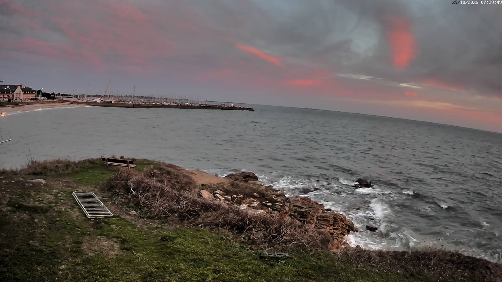
Brittany, France — 43 km
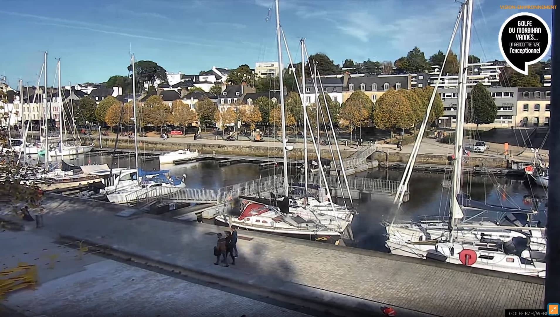
Brittany, France — 51 km
Brittany, France — 53 km
Brittany, France — 57 km
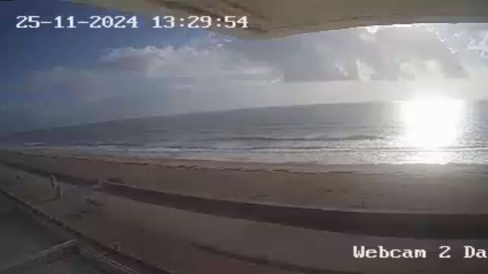
Brittany, France — 69 km
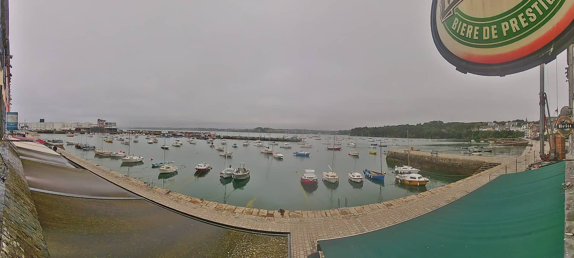
Brittany, France — 75 km
The current conditions and a 3-day forecast for the area are shown in the live weather block on this page. Coastal Brittany changes quickly, so check it again before you plan a visit.
The local time is displayed on this page and follows the local clock in France, which is one hour ahead of UTC in winter and two hours ahead in summer.
The camera is located in the Morbihan area of southern Brittany, France, at the coordinates shown on the map on this page. A map view is included so you can see the surrounding coastline.
Early morning and the hour before sunset usually give the best light. Weather and tides also change the view a lot, so clear, calm days are often the most interesting to check.
Partner links: we may earn a commission at no extra cost to you.