Perros Guirec - Le Port
Brittany, France — 5.9 km
🇫🇷 Brittany · France — Altitude 88 m
This live stream shows the Lannion area in the Côtes-d'Armor department of northern Brittany. Set on a stream-fed valley inland from the coast, the town is a practical base for exploring the north Breton shoreline. Use the page to check conditions before you travel.
Lannion is a historic market town on the Léguer river, about 88 metres above sea level. It has a medieval core with stone houses and a long tradition of technology and telecommunications research, which is why its airport and business parks are well developed for a town of its size. The surrounding countryside is a mix of farmland, wooded valleys and granite outcrops typical of Brittany.
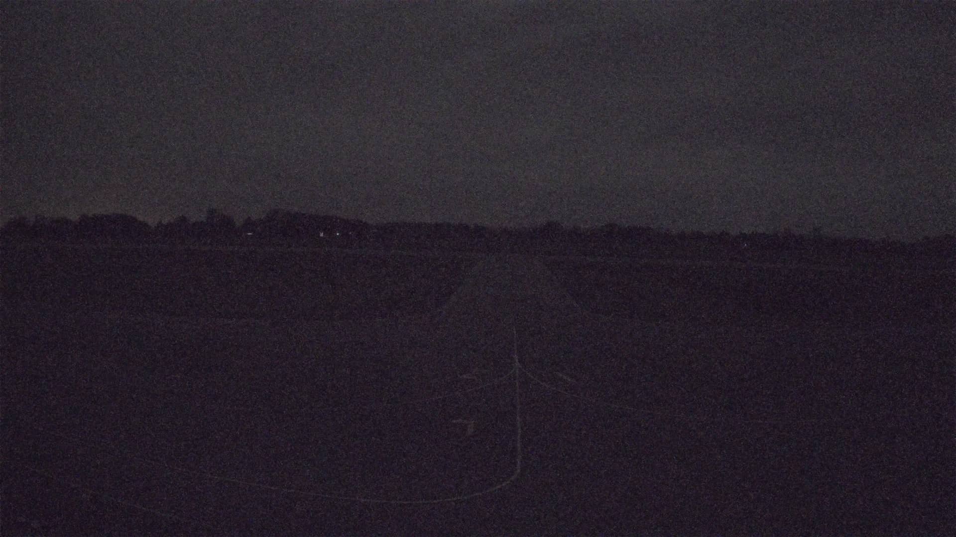
The camera is linked to the Lannion airport, so the view is most useful for following aircraft movements, runway activity and general weather over the area. Visibility in Brittany changes quickly, so morning sea fog and low cloud are common and often clear by midday. Clear afternoons with westerly winds give the sharpest views, and the stream is best watched in calm, dry weather.
Brittany has a mild oceanic climate with wet winters and cool, fresh summers. The warmest and driest months are usually July and August, though showers are possible at any time. Lannion is a short drive from the coast, where Perros-Guirec, Ploumanac'h and Trestraou beach are all within about eight kilometres, and these nearby cameras are good for comparing conditions along the shore.
Source: Aéroport Lannion
Brittany, France — 5.9 km
Brittany, France — 6.7 km
Brittany, France — 7 km
Brittany, France — 8 km
Brittany, France — 8.5 km
Brittany, France — 8.9 km
Brittany, France — 9.1 km
Brittany, France — 11 km

Brittany, France — 15 km

Brittany, France — 29 km
The current weather and a three-day forecast for Lannion are shown in the live block on this page. Conditions in Brittany can change within hours, so check it again before heading out.
The local time for Lannion is displayed on this page and follows the French time zone, which uses daylight saving time in summer. The clock updates automatically with the camera.
The camera sits at the Lannion airport area in the Côtes-d'Armor department of Brittany, roughly at 48.76 north and 3.47 west. A map on the page shows its position and the nearby camera locations.
Mornings are often foggy and afternoons tend to be clearer, especially in spring and summer. Calm, dry days give the best visibility for aircraft and the surrounding landscape.
Partner links: we may earn a commission at no extra cost to you.