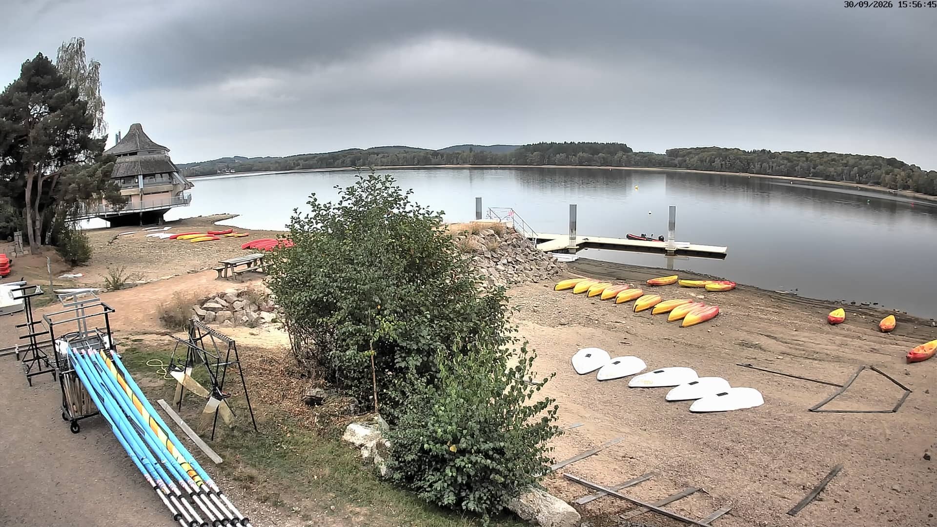
Lac des Settons
Bourgogne-Franche-Comté, France — 39 km
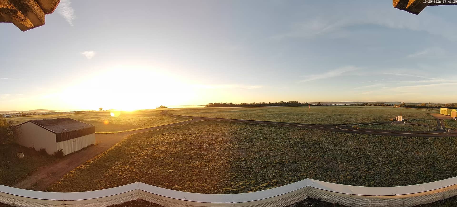
Semur-en-Auxois - Aéroclub LFGQ
🇫🇷 Bourgogne-Franche-Comté · France — Altitude 320 m
This live stream follows the grass and runway activity of the Aéroclub LFGQ at Semur-en-Auxois, a small flying school in the Burgundy countryside. It is useful for anyone curious about light aviation or planning to watch the sky over this part of the Auxois hills.
Semur-en-Auxois is a medieval hilltop town in the Côte-d'Or department, built around a dramatic rocky loop of the Armançon river. The surrounding Auxois is a gently rolling plateau of pastures, woodland and small villages, quieter than the better-known wine slopes further south. The airfield sits at around 320 metres above sea level, a comfortable height for the open landscape that makes it a popular base for training flights.
The camera is a live video feed tied to an aero club airfield, so the most interesting moments usually come in the morning and late afternoon, when flying activity tends to be busiest and the light is low and warm across the fields. Clear, calm days bring the most movement. Cloud and rain can leave the picture quiet for long periods, which is worth knowing before you tune in.
Burgundy has mild summers and cold, damp winters, so spring and early autumn are generally the most pleasant times to visit in person. Semur is reachable by road from Dijon and Montbard. If you want to compare views in the area, the Lac des Settons, the A6 motorway cameras near Beaune and Venoy, and the Beaune junction are all listed on this page.
Source: lfgq.fr
Bourgogne-Franche-Comté, France — 39 km
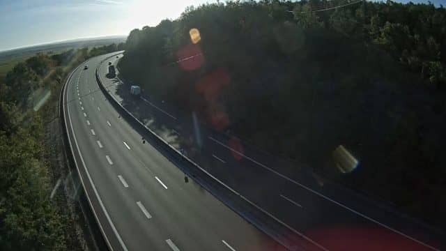
Bourgogne-Franche-Comté, France — 59 km
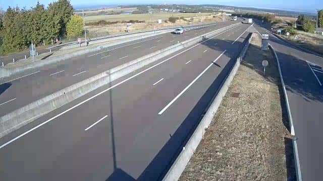
Bourgogne-Franche-Comté, France — 61 km

Bourgogne-Franche-Comté, France — 65 km

Bourgogne-Franche-Comté, France — 65 km
Bourgogne-Franche-Comté, France — 69 km

Bourgogne-Franche-Comté, France — 73 km

Grand Est, France — 76 km

Grand Est, France — 81 km

Bourgogne-Franche-Comté, France — 84 km
The current conditions and a three-day forecast for Semur-en-Auxois are shown in the live weather block on this page, updated automatically.
The local time for Semur-en-Auxois, in France, is displayed live at the top of this page, so you can see whether the airfield is in daylight.
The camera is at the Aéroclub LFGQ airfield near Semur-en-Auxois in the Côte-d'Or, at about 320 metres altitude. The map on this page marks its position.
Mornings and late afternoons on clear days usually offer the most activity and the best light. Overcast or rainy weather tends to make the view quieter.
Partner links: we may earn a commission at no extra cost to you.