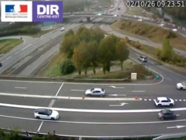
Grenoble - Rondeau A480 PR7+384
Auvergne-Rhône-Alpes, France — 6.5 km

The camera is temporarily offline
The owner's stream is not available right now. Try again later or watch a camera nearby.
Sassenage - A480 - RN481 direction Ouest - Sud
🇫🇷 Auvergne-Rhône-Alpes · France
This live camera watches the road junction at Sassenage, a commune on the southern edge of Grenoble in the Isère valley. It is a traffic feed, so it is useful for seeing whether the westbound approaches are moving freely before you set off. The page also shows local time and the current weather for the area.
Sassenage sits just west of Grenoble, where the city meets the foothills of the Vercors and the Chartreuse massif. The Isère valley is a busy corridor, and the A480 ring road and the RN481 carry much of the southern and western traffic in and out of the metropolitan area. The town is known for its nearby Cuves de Sassenage, a series of natural limestone caves and cascades that draw visitors from across the region.
The feed follows traffic on the westbound direction of the A480 and RN481 at the Sassenage junction. Since it is a road camera, the most telling moments are the weekday rush hours, roughly from 07:00 to 09:00 and from 16:30 to 19:00, when queues tend to build. Weekend midday and holiday periods can also bring steady flows toward the mountains. Rain or snow in the hills often changes how traffic moves, so the live view can be a quick check in poor weather.
Grenoble and its surroundings have a continental climate with warm summers and cold winters, and the valley can be hazy or cloudy on some days. Spring and early autumn are generally the most pleasant times to visit the area on foot or by bike. Nearby cameras on the Grenoble ring road, at Corenc and Veurey-Voroize, show the wider traffic situation on the same network.
Source: bison-fute.gouv.fr
Auvergne-Rhône-Alpes, France — 6.5 km
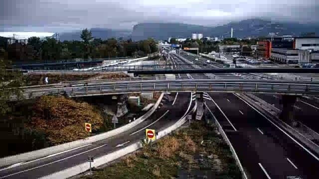
Auvergne-Rhône-Alpes, France — 6.6 km

Auvergne-Rhône-Alpes, France — 7.1 km
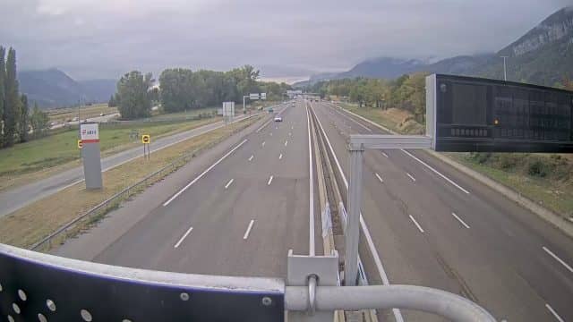
Auvergne-Rhône-Alpes, France — 8.1 km
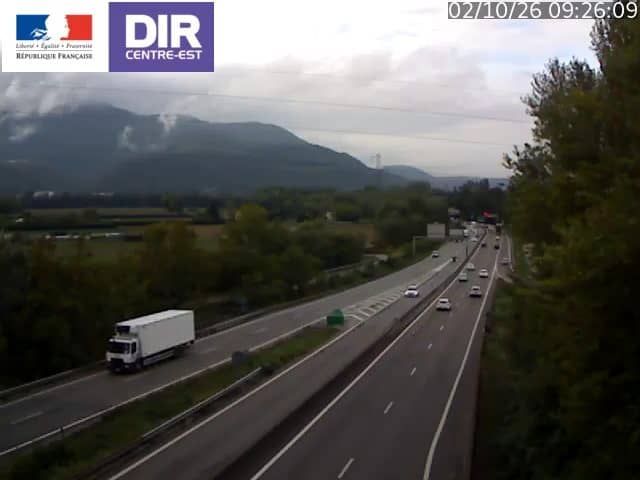
Auvergne-Rhône-Alpes, France — 8.1 km
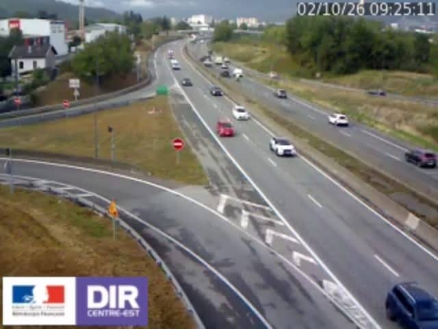
Auvergne-Rhône-Alpes, France — 8.5 km
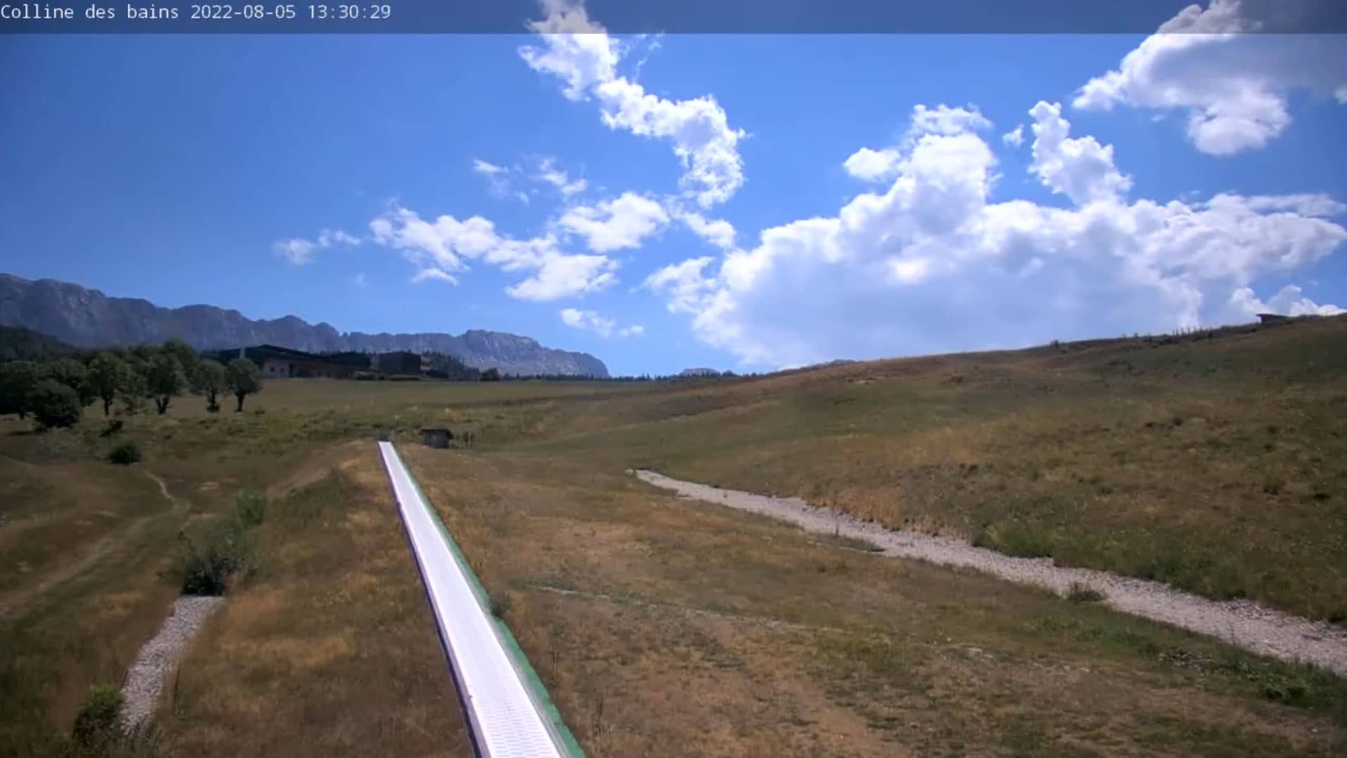
Auvergne-Rhône-Alpes, France — 19 km
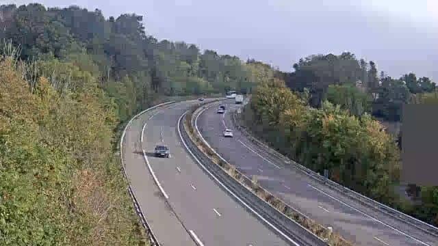
Auvergne-Rhône-Alpes, France — 34 km
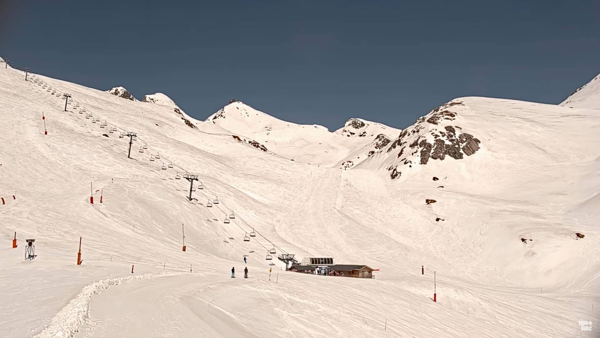
Auvergne-Rhône-Alpes, France — 35 km
Auvergne-Rhône-Alpes, France — 37 km
The current weather for Sassenage is shown in the live block on this page, together with a three-day forecast. It updates as new data becomes available.
The local time for Sassenage is displayed on this page. The area follows Central European time, so it is the same as in most of mainland France.
The camera overlooks the A480 and RN481 road junction in Sassenage, just west of Grenoble. The map on this page marks its position for orientation.
Weekday morning and evening rush hours are usually the busiest, and the feed is most informative at those times. Check the live view before a trip to see how the road is flowing.
Partner links: we may earn a commission at no extra cost to you.