
Nantua - A40 viaduc de Nantua-Neyrolles
Auvergne-Rhône-Alpes, France — 0.8 km

The camera is temporarily offline
The owner's stream is not available right now. Try again later or watch a camera nearby.
Nantua - A40 tunnel de Chamoise près de Nantua vers Mâcon
🇫🇷 Auvergne-Rhône-Alpes · France
This camera points at the A40 motorway near Chamoise, just outside Nantua, where traffic heads toward Mâcon and the Saône valley. It is useful for anyone planning a drive through the Jura foothills and wanting to see how the road looks right now. The live view is supplied by the road operator and shows the motorway as it is at the moment.
Nantua is a small town in the Ain department of the Auvergne-Rhône-Alpes region, set beside a lake that sits in a glacial hollow at the edge of the Jura mountains. The town is known for its lake, its crayfish dishes and its position as a gateway between the Bugey hills and the Plateau de Retord. The landscape is green and wooded, with steep slopes that shape how the motorway winds through the valley.
The title names a motorway tunnel and a route toward Mâcon, so the view is of road traffic rather than scenery. Watching it is most useful at busy commuting hours, on weekends in summer when holiday traffic moves north and south, and during winter when fog or snow can affect visibility on the mountain roads. Conditions can change quickly, so a live look often tells you more than a forecast.
The region has a continental climate with cold, sometimes snowy winters and mild summers, and the higher routes can be slippery from late autumn into spring. The A40 is one of the main routes linking Geneva and Lyon with eastern France, so it is busy in holiday periods. Nearby cameras on the same road, including the Nantua-Neyrolles viaduct and the Oyonnax stretch, let you check the next sections of your journey.
Source: bison-fute.gouv.fr
Auvergne-Rhône-Alpes, France — 0.8 km

Auvergne-Rhône-Alpes, France — 9.5 km
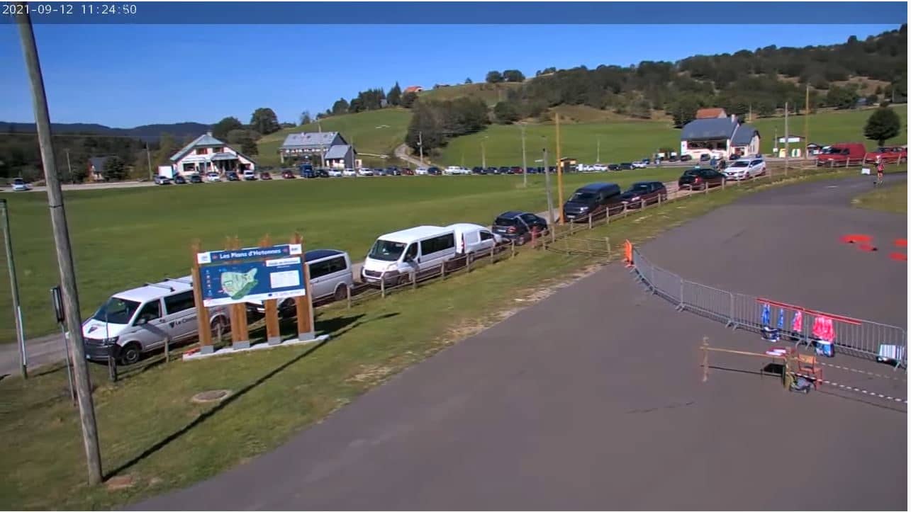
Auvergne-Rhône-Alpes, France — 13 km
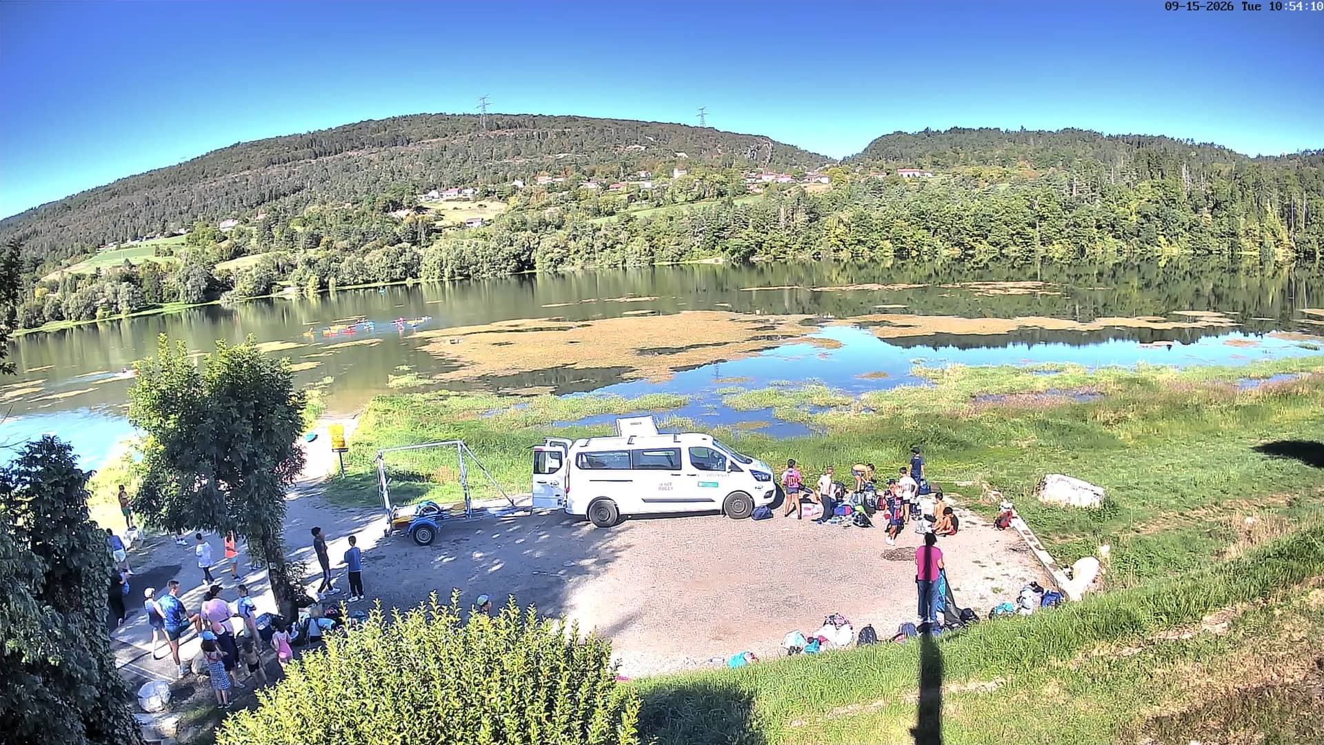
Auvergne-Rhône-Alpes, France — 14 km
Auvergne-Rhône-Alpes, France — 14 km

Auvergne-Rhône-Alpes, France — 26 km

Auvergne-Rhône-Alpes, France — 36 km

Auvergne-Rhône-Alpes, France — 37 km

Geneva, Switzerland — 38 km
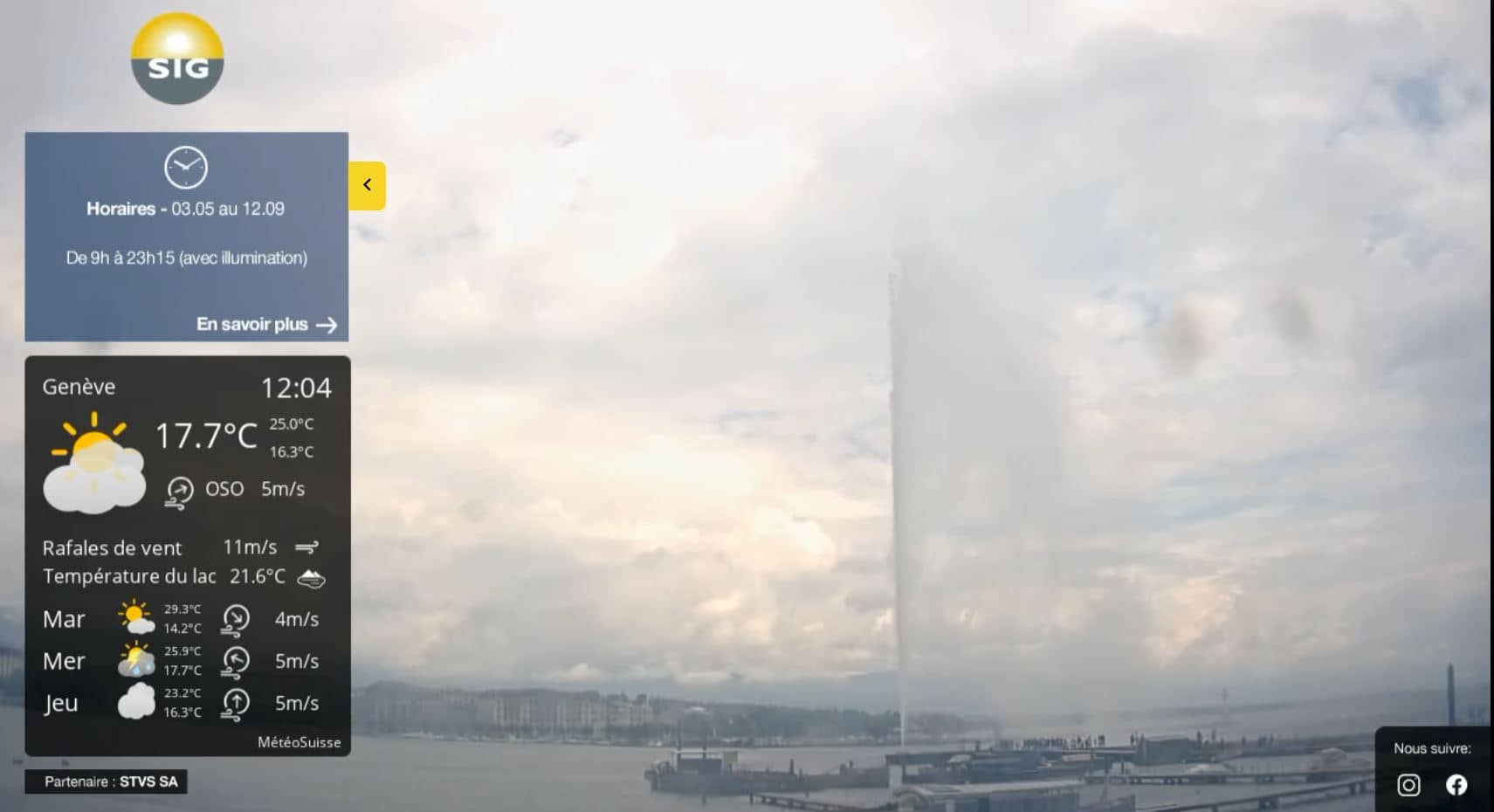
Geneva, Switzerland — 38 km
Current conditions and the three-day forecast for Nantua are shown in the live weather block on this page. The values update automatically, so check there before you set off.
The local time for Nantua is displayed on this page and follows the French clock, including the switch between summer and winter time.
The camera is on the A40 motorway near Chamoise, close to Nantua in the Ain department. The map on this page marks its position so you can follow the route toward Mâcon.
Weekday rush hours and summer weekends tend to show the most movement on this road. In winter, check it in the morning when fog or ice is more likely.
Partner links: we may earn a commission at no extra cost to you.