
Bourg-lès-Valence - Couleures N7 PR43+350
Auvergne-Rhône-Alpes, France — 2.5 km
The camera is temporarily offline
The owner's stream is not available right now. Try again later or watch a camera nearby.
Valence - N7 PR44+857
🇫🇷 Auvergne-Rhône-Alpes · France
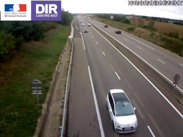
This camera watches a stretch of the N7 national road in and around Valence, in the Drôme department of southeastern France. It is a traffic camera, so the view is practical: you can see how the road is flowing before you set out. The live stream is provided by the road authority and embedded here with a link to its source.
Valence sits on the Rhône, where the river valley opens between the Massif Central and the Alps. The city is the gateway to the Drôme and the Ardèche, and the N7 has long been one of the main routes linking northern France with the Mediterranean coast. The landscape changes quickly here, from river plains and orchards to the rising hills that lead toward the mountains, so the road sees a steady mix of regional and long-distance traffic throughout the year.
As a traffic camera, the stream is most useful for judging the flow of vehicles rather than scenery. Busy periods usually come at the morning and evening commute, and at weekends and school holidays when travellers pass through toward the south or the Alps. Weather can change how the road looks quickly, so the live weather block on this page is worth checking alongside the picture, especially in rain, fog or early winter frost.
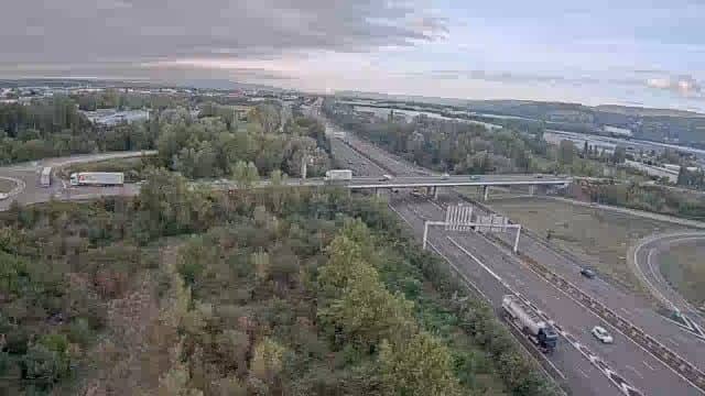
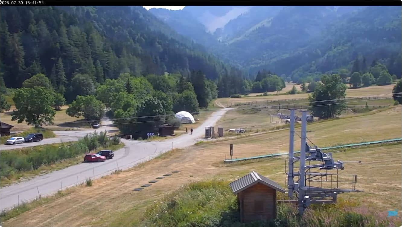
Valence has a climate that is warmer and drier than much of France, with hot summers and mild winters, although the mistral wind can be strong. Spring and autumn are generally the most comfortable months for driving the area. Nearby cameras on this site cover the Couleures stretch in Bourg-lès-Valence, the A7 toward Orange, and mountain passes such as the Col de l'Escrinet and Gresse-en-Vercors.
Source: bison-fute.gouv.fr
Auvergne-Rhône-Alpes, France — 2.5 km
Auvergne-Rhône-Alpes, France — 6.3 km
Auvergne-Rhône-Alpes, France — 43 km
Auvergne-Rhône-Alpes, France — 48 km
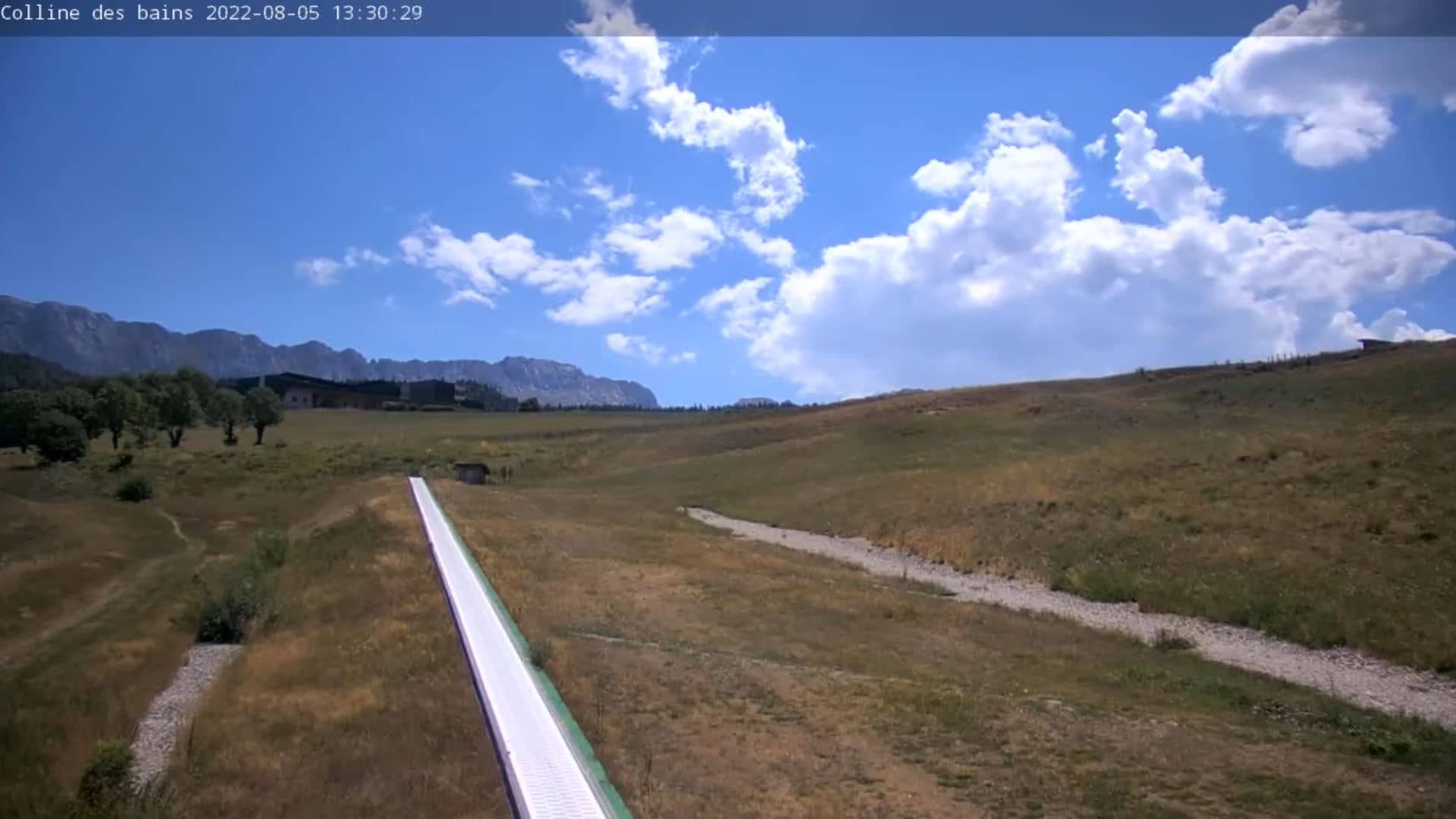
Auvergne-Rhône-Alpes, France — 50 km
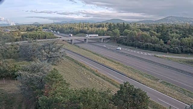
Auvergne-Rhône-Alpes, France — 52 km

Auvergne-Rhône-Alpes, France — 54 km

Auvergne-Rhône-Alpes, France — 56 km
Provence-Alpes-Côte d'Azur, France — 61 km
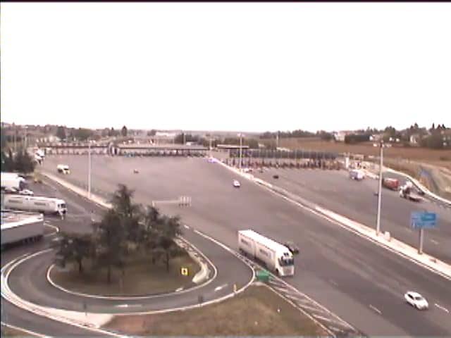
Auvergne-Rhône-Alpes, France — 62 km
The current conditions and a three-day forecast for Valence are shown in the live weather block on this page. They update together with the local time, so you can check before you drive.
The local time for Valence is displayed live on this page, following the French time zone including daylight saving changes. The clock is updated automatically.
The camera is on the N7 national road near Valence in the Drôme department, at approximately 44.93 north and 4.94 east. The map on this page marks its position for orientation.
Weekday mornings and evenings usually show the heaviest traffic, while weekends and holiday periods can bring steady flow toward the south. Check the live view just before departure for the most current picture.
Partner links: we may earn a commission at no extra cost to you.