Pustevny
Moravian-Silesian Region, Czechia — 0 km
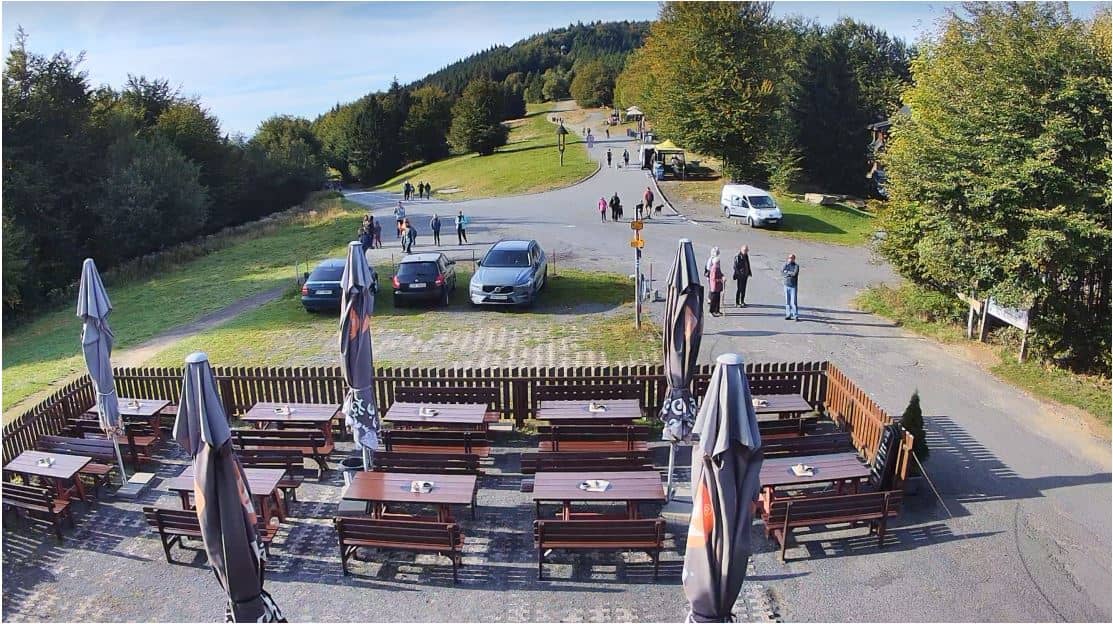
Pustevny - Carrefour de Pustevny (rozcestí)
🇨🇿 Moravian-Silesian Region · Czechia — Altitude 1018 m
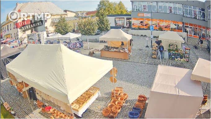
This live stream shows the road junction at Pustevny, a mountain saddle in the Beskydy range above the Moravian-Silesian Region. It is useful for checking how traffic is moving and whether the road is open before you travel. The page also gives the local time and the weather forecast for the spot.
Pustevny sits on a forested ridge in the eastern Beskydy mountains, at about 1,018 metres above sea level. The area is known for its wooden architecture, the Radhošť massif nearby, and long walking trails through spruce and beech woods. Its character is shaped by altitude, so conditions here can differ noticeably from the valleys below.
As a traffic camera, the view is focused on the road junction rather than on scenery, so the picture is most useful for seeing vehicle flow and road surface conditions. Mountain roads like this are often busiest on weekends and during holiday periods, when more visitors head up to the ridge. Depending on the view, snow, fog or wet tarmac may be visible, and these are worth watching in winter and shoulder seasons.
Summer brings the mildest weather for hiking, while winter can bring heavy snow and icy roads, so check the live weather block before setting out. Nearby, you can compare conditions at Radhošť, a summit cam about 4 km away, or at the village views in Dolní Bečva and Kunčice pod Ondřejníkem. Allow extra time for mountain driving, especially after dark or in poor visibility.
Source: hvfree.net
Moravian-Silesian Region, Czechia — 0 km
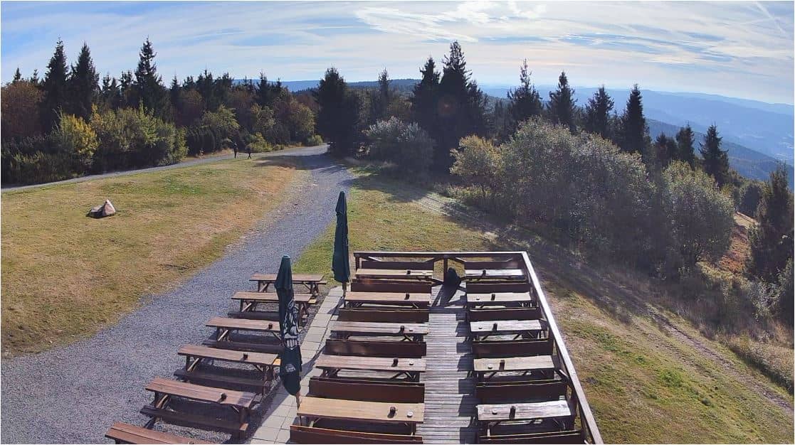
Moravian-Silesian Region, Czechia — 3.6 km
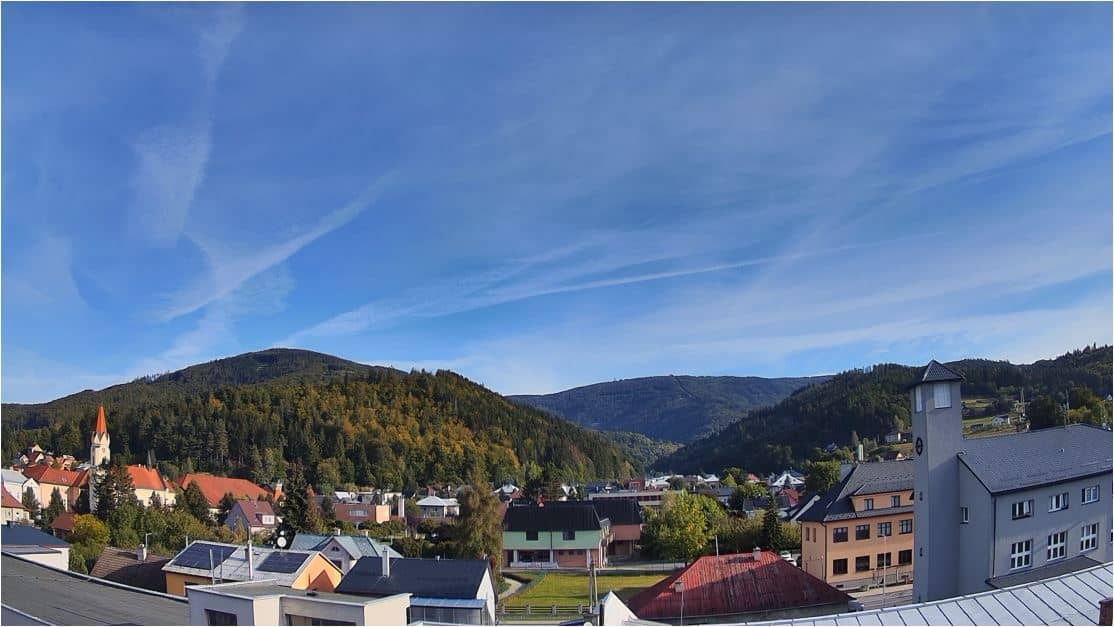
Zlín Region, Czechia — 6.7 km
Moravian-Silesian Region, Czechia — 7 km
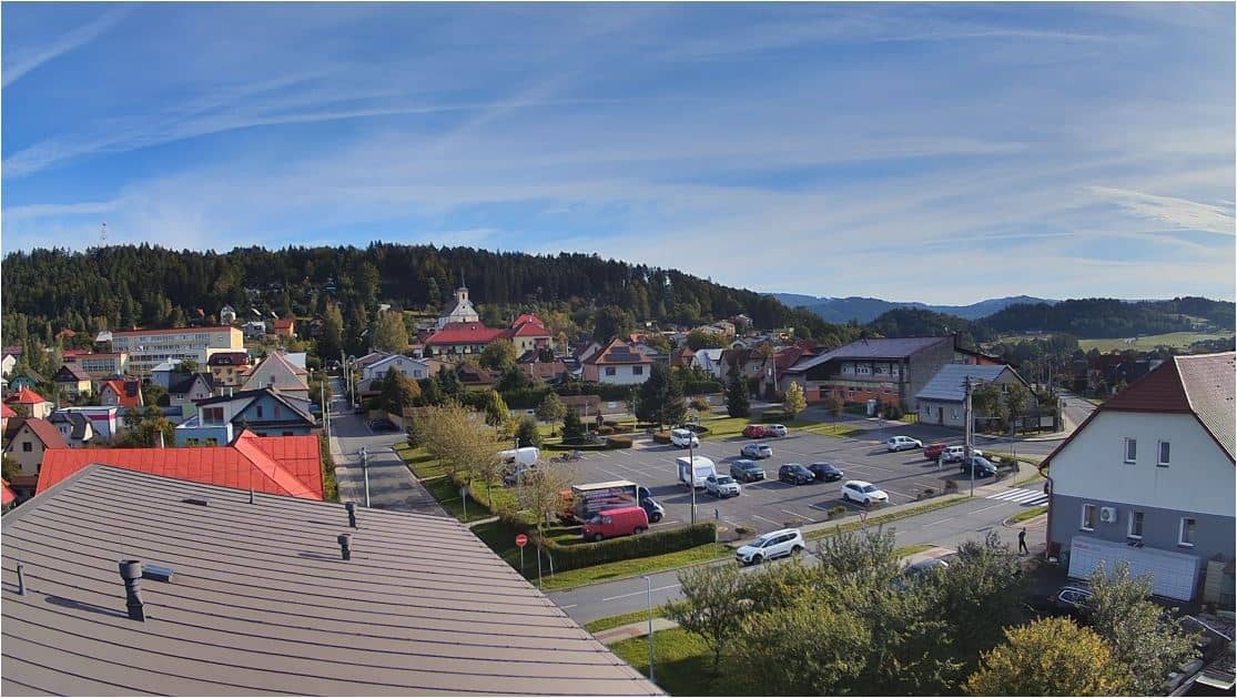
Zlín Region, Czechia — 7.3 km

Moravian-Silesian Region, Czechia — 8.6 km
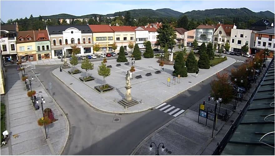
Zlín Region, Czechia — 9.5 km
Moravian-Silesian Region, Czechia — 11 km
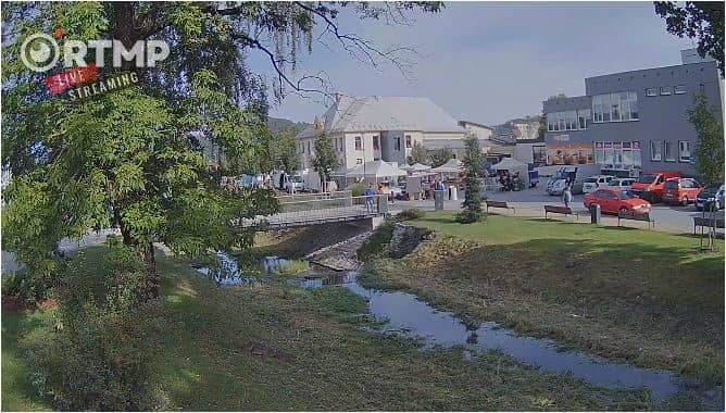
Moravian-Silesian Region, Czechia — 11 km
Moravian-Silesian Region, Czechia — 12 km
The live weather block on this page shows the current conditions at Pustevny together with a 3-day forecast. Because the site sits at over 1,000 metres, it is often cooler and windier than nearby towns.
The page displays the current local time for Pustevny, which follows Central European time. Check the live clock on the page to confirm it before planning a trip.
The camera overlooks the Pustevny crossroads in the Beskydy mountains, in the Moravian-Silesian Region of Czechia. The map on this page marks the exact position at about 49.49 N, 18.27 E.
Traffic is usually heaviest on weekends and holidays, and winter conditions are most informative for road status. Check during daylight for the clearest view of the road surface.
Partner links: we may earn a commission at no extra cost to you.