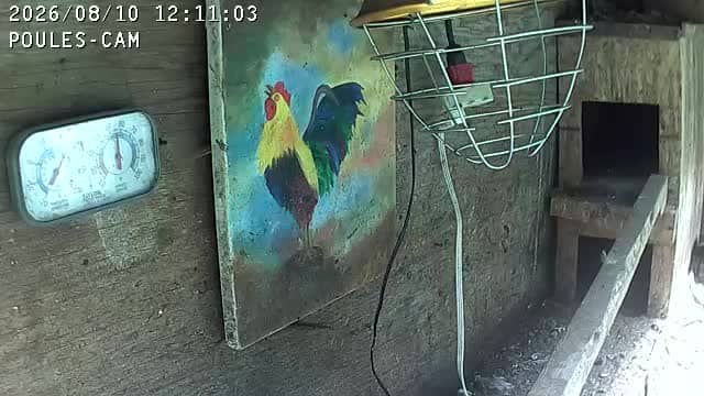
Val-David - POULES-CAM @ CTRL-ALT-MAT
Quebec, Canada — 35 km
🇨🇦 Quebec · Canada — Altitude 624 m
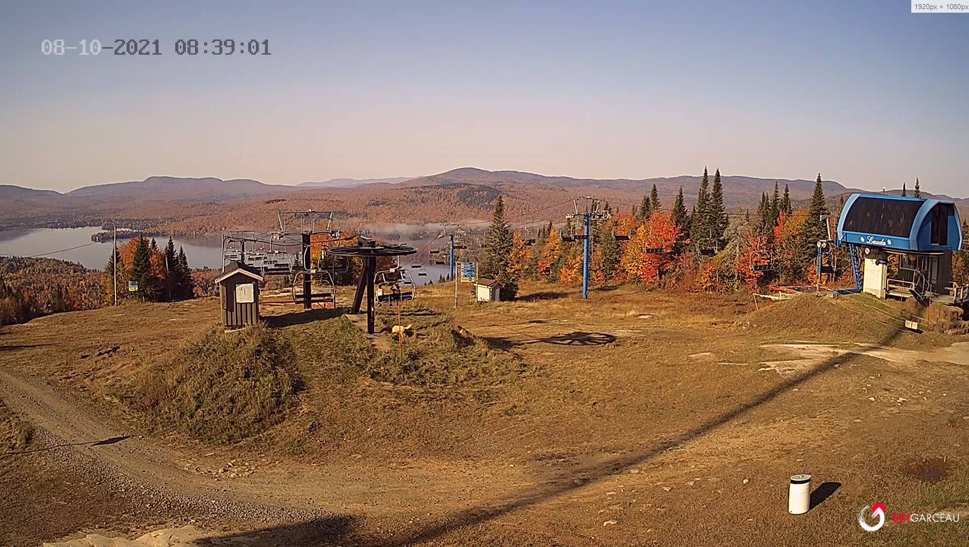
This live camera looks out over Saint-Donat, a village in the Laurentian Mountains north of Montreal. It is a useful way to check snow, light and general conditions before you plan a trip to the hills. The stream is provided by the ski area's operator.
Saint-Donat sits at about 620 metres in the Laurentians, a range of old, rounded mountains covered in maple, birch and conifer forest. It is best known as a base for skiing, snowshoeing and summer hiking, and it has a lakeside setting that draws visitors throughout the year. The pace is slow and the surroundings are mostly forest and water.
The view is most interesting in winter, when snow cover and the state of the slopes change quickly with the weather. Early mornings and late afternoons give the clearest light, and autumn brings strong colour to the surrounding trees. Depending on the view at any given time, you may see snowfall, fog drifting over the hills or the difference between a clear and an overcast day.
Winters are cold and snowy, with reliable snow from December into March, while summers are mild and suited to hiking and cycling. Autumn foliage is typically at its peak in late September and early October. Nearby, Val-David and Saint-Jérôme are within reach by road, and Montréal is roughly a 100 km drive away.
Source: Ski Garceau
Quebec, Canada — 35 km
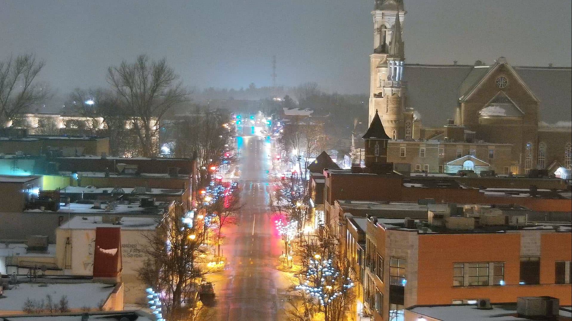
Quebec, Canada — 64 km
Quebec, Canada — 66 km
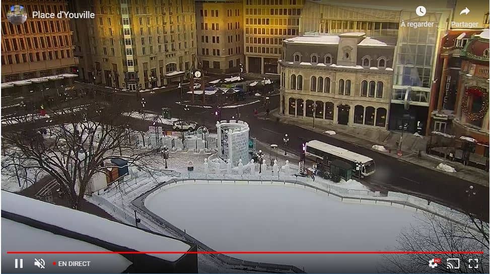
Quebec, Canada — 99 km
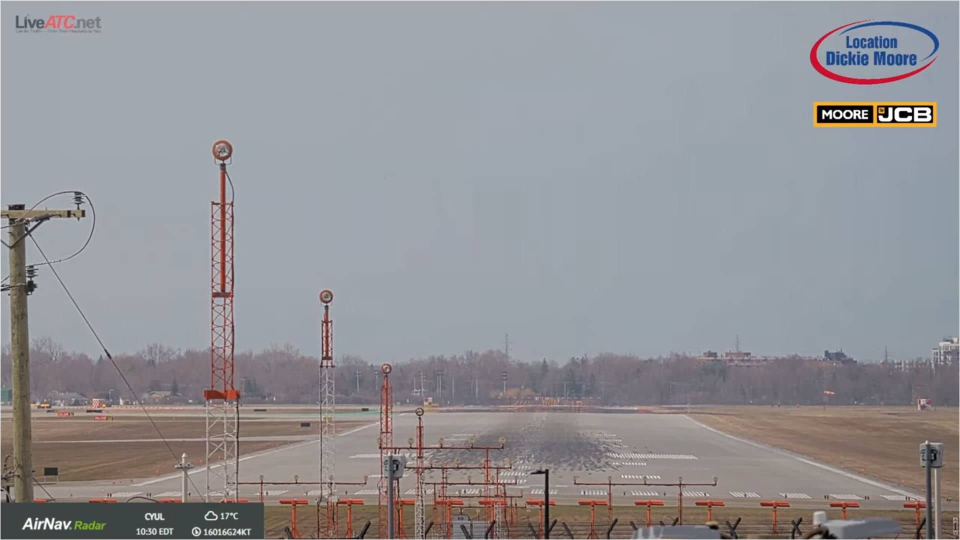
Quebec, Canada — 105 km
Quebec, Canada — 106 km
Quebec, Canada — 106 km
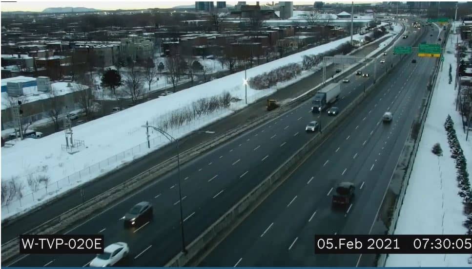
Quebec, Canada — 112 km
Quebec, Canada — 123 km
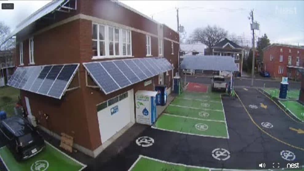
Quebec, Canada — 127 km
The current conditions and the three-day forecast for Saint-Donat are shown in the live weather block on this page. They update with the forecast service, so check there before you set out.
The local time for Saint-Donat is displayed on this page and follows the Eastern time zone used across much of Quebec, including daylight saving changes.
The camera is in the village of Saint-Donat in Quebec's Laurentians, at roughly 620 metres above sea level. The map on this page marks its location.
Winter mornings tend to be most useful for checking snow and slope conditions, while autumn is good for seeing the colours of the forest. The best moment depends on what you want to observe.
Partner links: we may earn a commission at no extra cost to you.