
Fort McMurray - SIDE H.M.K.T. NEST BOX
Alberta, Canada — 653 km
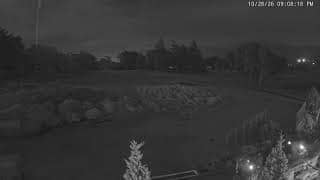
Dehcho Region - 18th Green & 1st Tee Box
🇨🇦 Northwest Territories · Canada — Altitude 491 m
This camera looks over the 18th green and 1st tee box of a golf course in the Dehcho Region of the Northwest Territories, Canada. It is useful for anyone curious about northern golf, or checking conditions before planning a round in this remote part of the country.
The Dehcho Region lies in the southwestern part of the Northwest Territories, along the Mackenzie River corridor. It is a sparsely populated area of boreal forest, wetlands and wide river valleys, with small communities spread far apart. Its sense of space and quiet is the main draw for most visitors, and the landscape changes sharply with the seasons.
The view covers the final green and the starting tee box, so it is most relevant for seeing whether the course is open and how the grass and weather look at a given moment. Depending on the view, you may notice changes in light through the long northern summer days and the low, angled sun of shoulder seasons. Activity tends to be concentrated in the warmer months, when the season is open.
The Dehcho has a subarctic climate, with short, mild summers and long, cold winters. Golf is therefore seasonal, usually running from late spring to early autumn. Access to the region is limited, with few roads and air travel being the most common way in. Check the live weather on this page before you plan a trip, as conditions can change quickly.
Source: CamStreamer
Alberta, Canada — 653 km
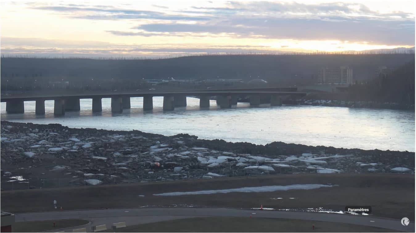
Alberta, Canada — 702 km
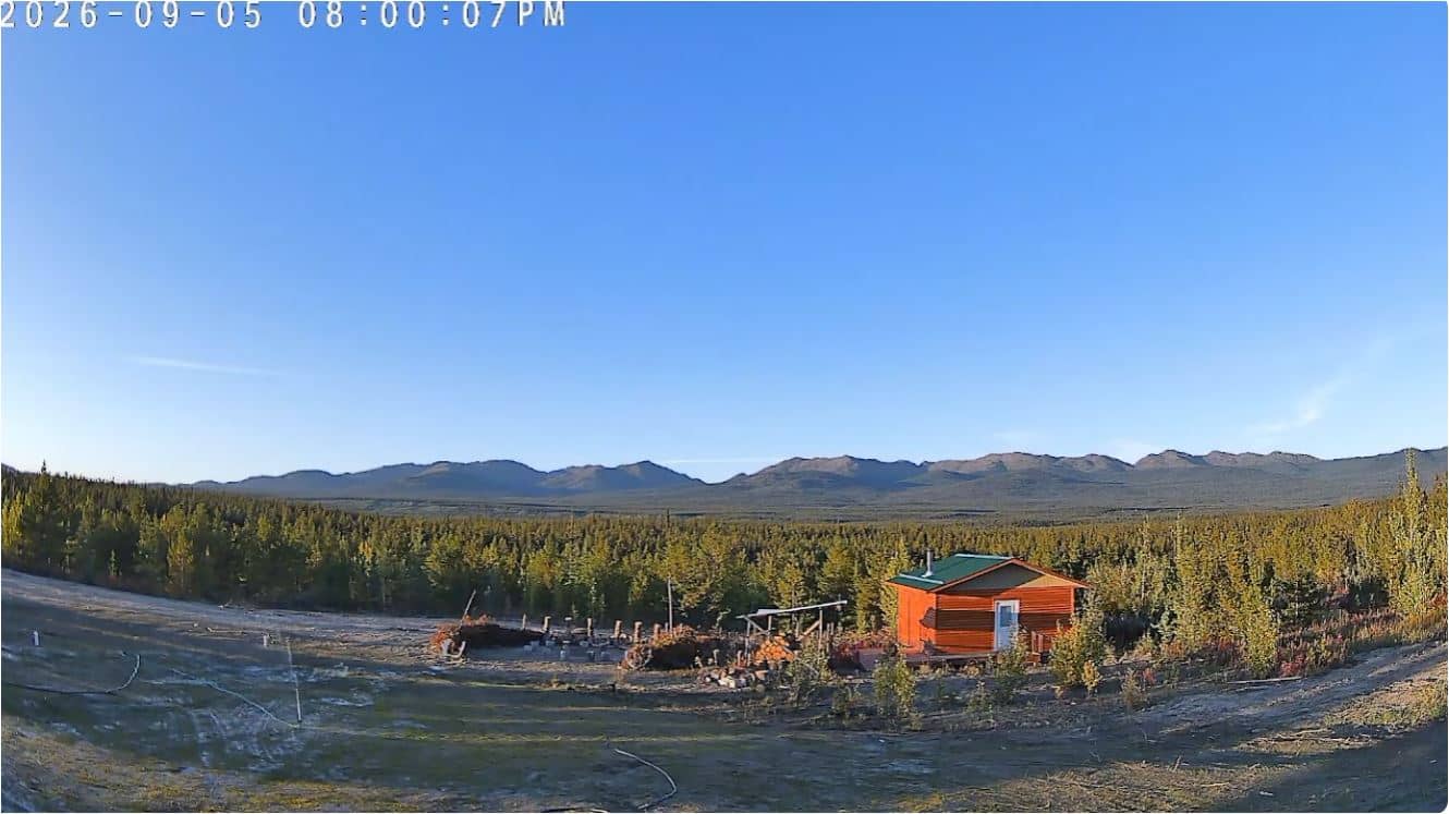
Yukon, Canada — 739 km
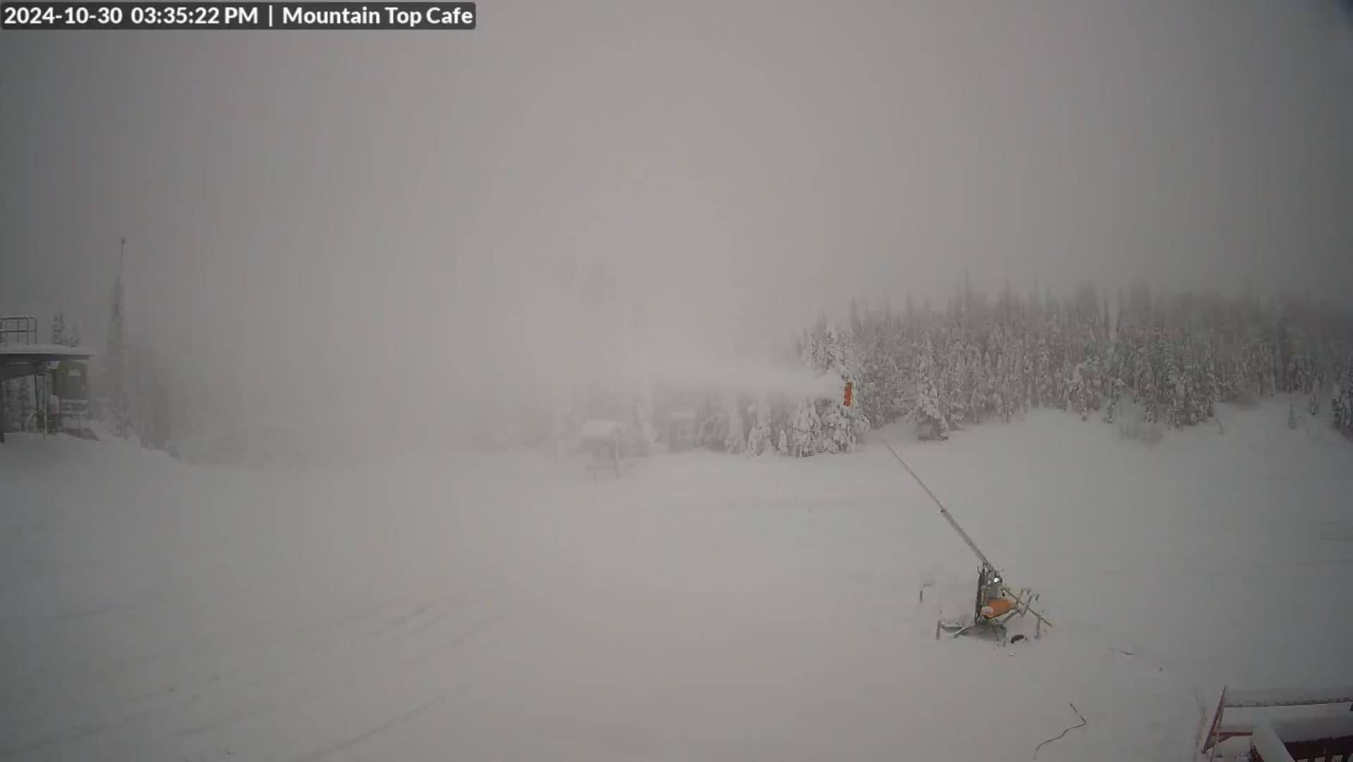
Yukon, Canada — 756 km
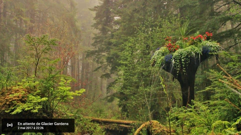
Alaska, United States — 781 km

Alaska, United States — 783 km
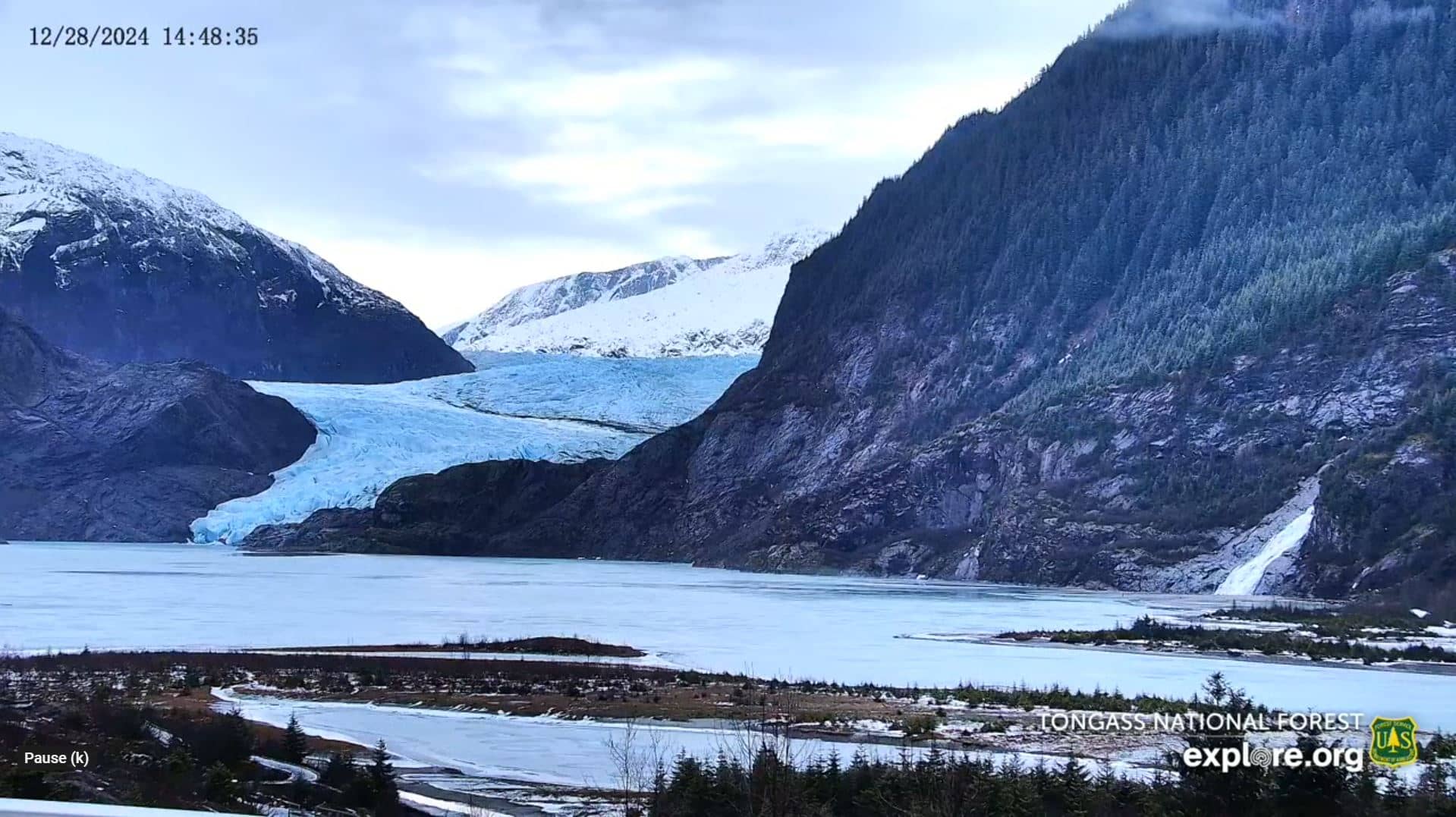
Alaska, United States — 785 km
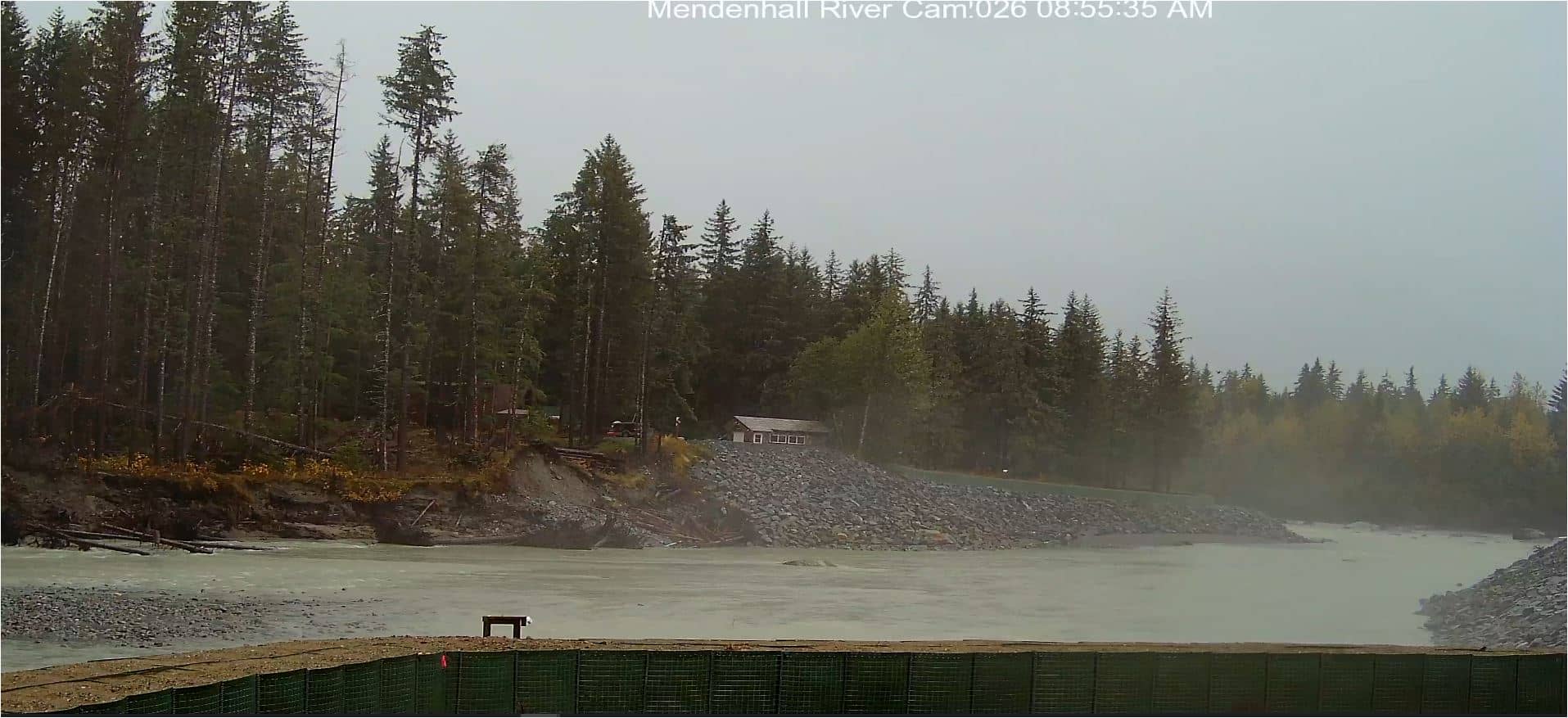
Alaska, United States — 789 km
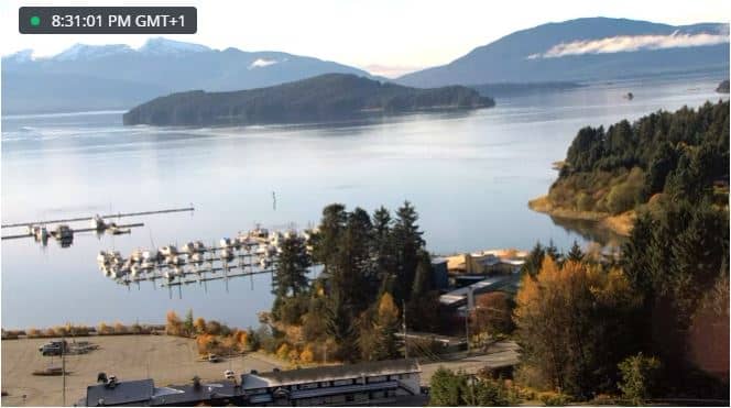
Alaska, United States — 791 km

Alaska, United States — 791 km
The current conditions and a three-day forecast are shown in the live weather block on this page. The northern climate can change quickly, so check it before you watch or plan a visit.
The local time is shown in the live clock on this page, based on the region's time zone. It is useful to check before you tune in, especially if you are watching from another country.
The camera is in the Dehcho Region of the Northwest Territories, Canada, at about 491 metres above sea level. The map on this page shows its exact position.
Activity is most likely in the warmer months, from late spring to early autumn. The long summer daylight means the view is visible for many hours, while the low sun of shoulder seasons adds a different look.
Partner links: we may earn a commission at no extra cost to you.