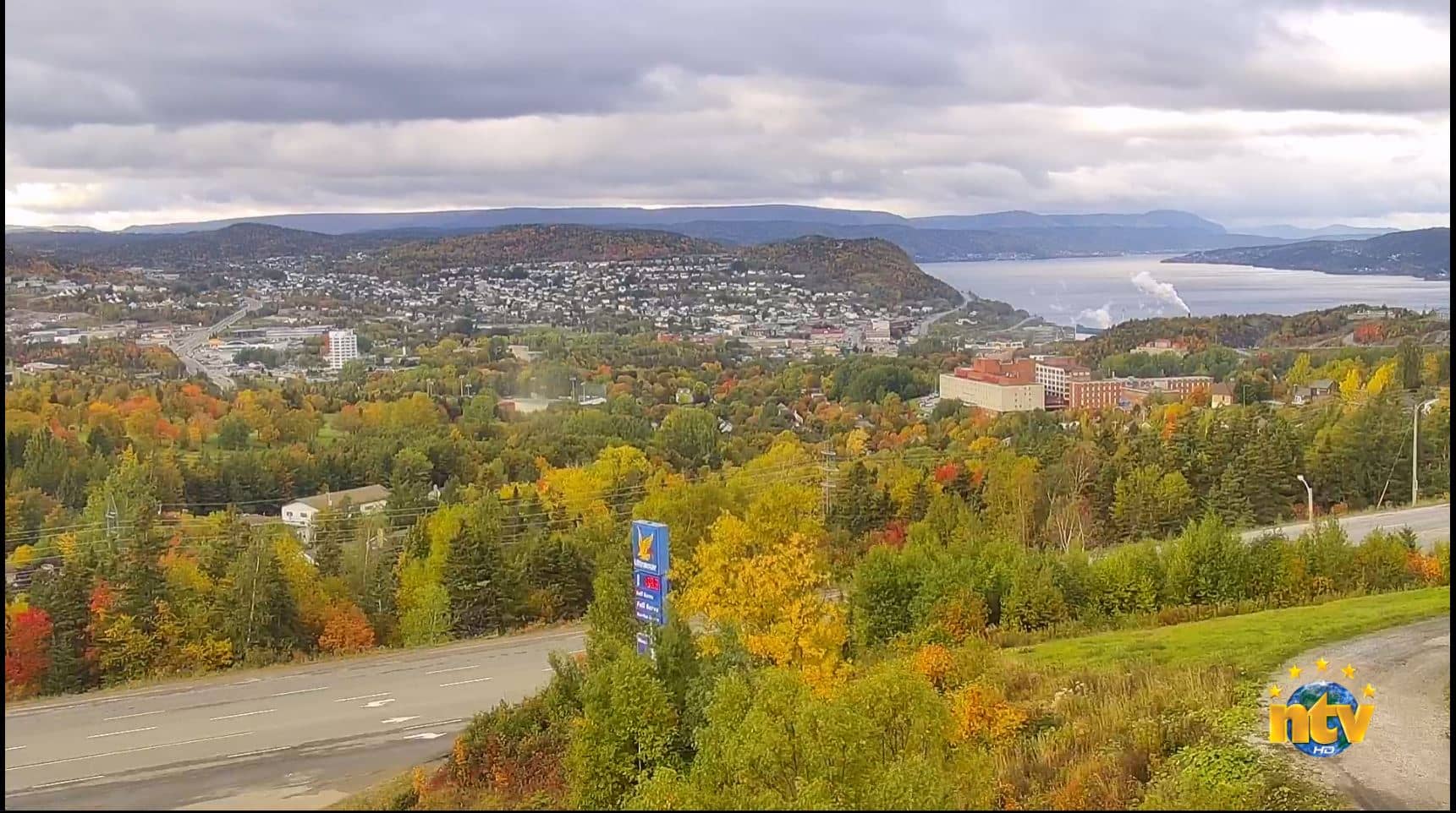
Corner Brook
Newfoundland and Labrador, Canada — 176 km
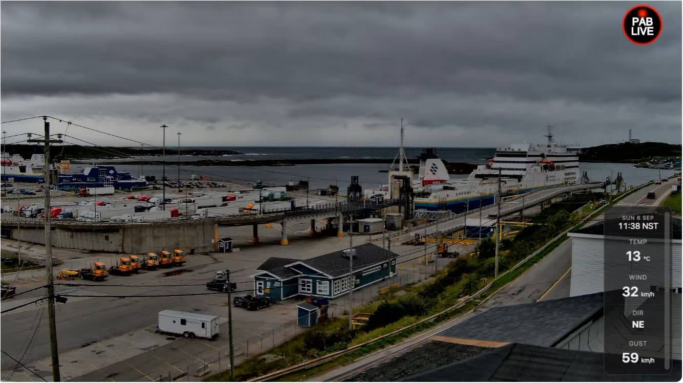
Channel-Port aux Basques - Tilley Cam - Port aux Basques Harbour
🇨🇦 Newfoundland and Labrador · Canada — Altitude 8 m
This live camera looks over the harbour at Channel-Port aux Basques, the southwestern gateway of Newfoundland and the terminal for ferries crossing from Nova Scotia. Watching it gives a direct sense of the comings and goings of a working Atlantic port and of the sea conditions facing the island's south coast.
Channel-Port aux Basques sits on the southwestern tip of the island of Newfoundland, in the province of Newfoundland and Labrador. The town grew around its deep natural harbour, which made it an important stop for shipping and ferry traffic for well over a century. The surrounding landscape is rugged coastline, bare hills and open Atlantic water, shaped by wind and fog for much of the year.
The stream is a harbour view, so the most rewarding moments tend to be arrivals and departures, when ships move in and out of the port. Weather changes quickly here, and wind, swell and fog can alter the scene within an hour. Early mornings and evenings often bring softer light on the water, though the actual view depends on conditions at the time you look.
Summers are cool and often breezy, while winters are long, cold and stormy, with heavy snow and strong winds off the Atlantic. The best months for mild weather are usually July and August. Corner Brook, about 176 km away, is the nearest larger town on the island, and several cameras in the region, including those on Miquelon and Saint-Pierre, show other coastal places across the water.
Source: PAB Live
Newfoundland and Labrador, Canada — 176 km
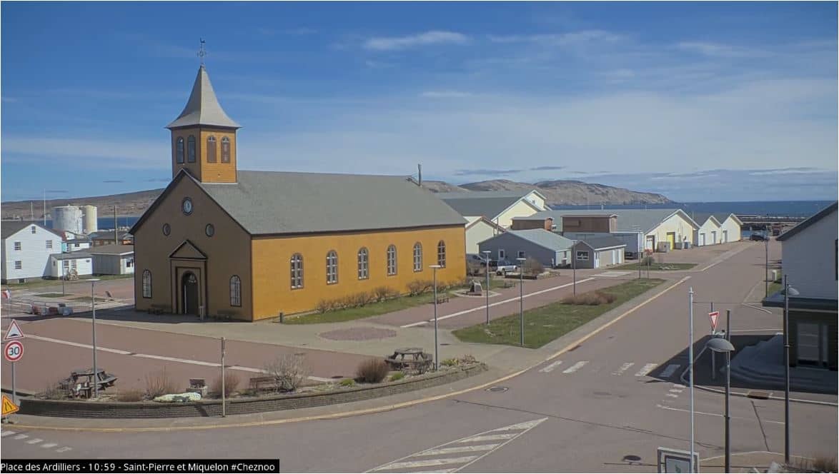
Miquelon-Langlade, France — 214 km
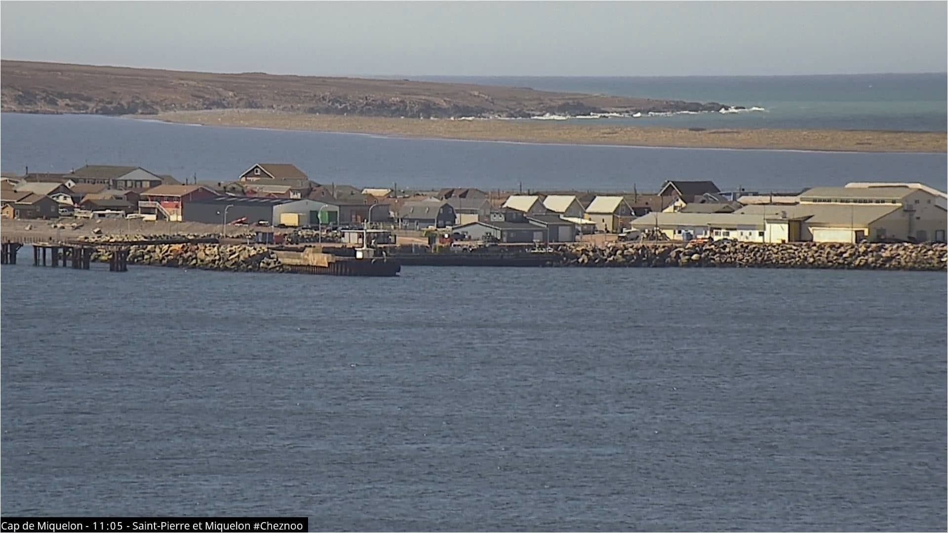
Miquelon-Langlade, France — 215 km
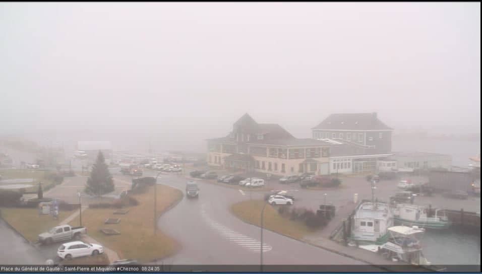
Saint Pierre, France — 240 km
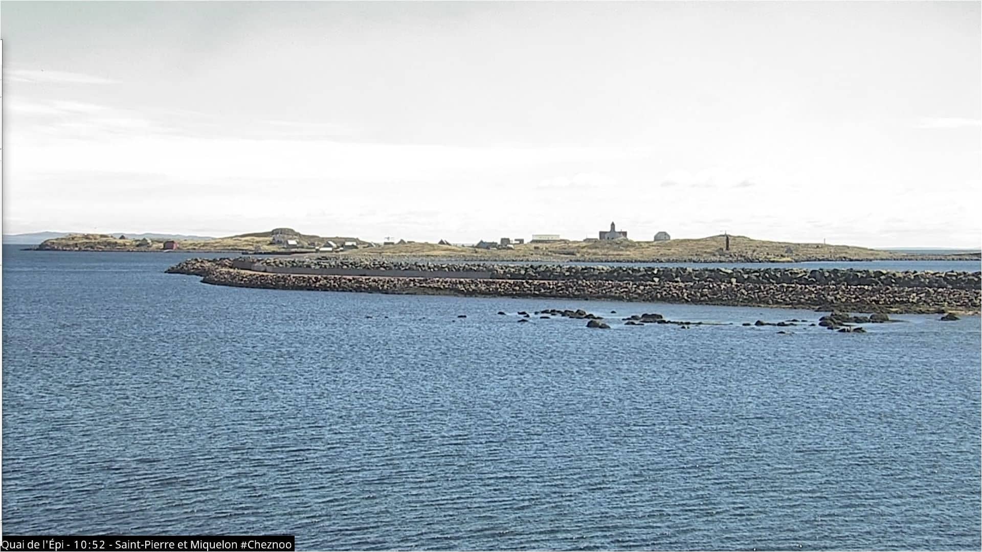
Saint Pierre, France — 241 km
Newfoundland and Labrador, Canada — 252 km
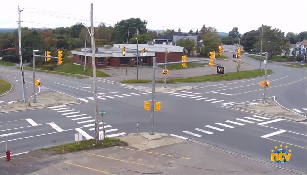
Newfoundland and Labrador, Canada — 300 km
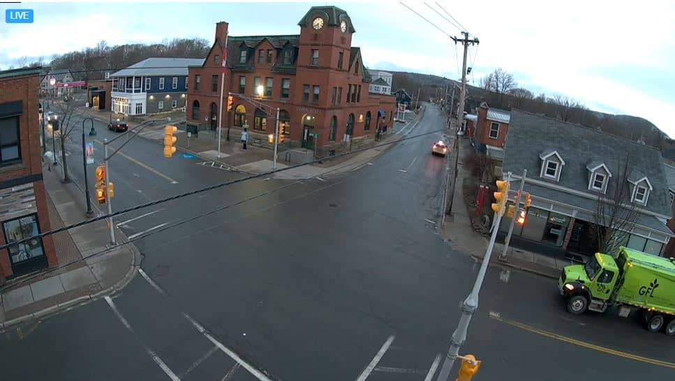
Nova Scotia, Canada — 308 km

Prince Edward Island, Canada — 323 km

Nova Scotia, Canada — 347 km
The current conditions and a 3-day forecast are shown in the live weather block on this page, updated automatically for the town.
The local time is displayed on this page and follows the Newfoundland time zone, which runs half an hour ahead of Atlantic time in some periods.
The camera is at the harbour of Channel-Port aux Basques, at approximately 47.57 north and 59.14 west. The map on this page marks its position.
Ferry arrivals and departures are the most active periods, and clear weather in summer usually gives the best visibility over the water.
Partner links: we may earn a commission at no extra cost to you.