
Saint John - Kingston Peninsula Princess Ferry - Millidgeville
New Brunswick, Canada — 0 km
Saint John - Kingston Peninsula Princess Ferry
🇨🇦 New Brunswick · Canada — Altitude 19 m
This live camera looks at the harbour in Saint John, where the Kingston Peninsula Princess ferry operates. Watch vessel traffic and the working waterfront as conditions change through the day. The page also gives you local time and the weather outlook for the city.
Saint John is the oldest incorporated city in Canada and sits at the mouth of the Saint John River on the Bay of Fundy coast of New Brunswick. The harbour has long shaped the city's economy, from shipping and shipbuilding to today's port and ferry services. The bay is known for some of the highest tides in the world, so the water level and the shoreline can look very different from one hour to the next.
The camera is focused on a port and ferry setting, so the most useful things to watch are ferry arrivals and departures, cargo and fishing boats moving through the harbour, and how the water looks at different stages of the tide. Daylight gives the clearest view. Fog and wind coming off the bay can change the picture quickly, so check the weather block on this page before you decide when to watch.
Saint John has a cool, maritime climate, with cold winters, mild summers and frequent fog in spring and early summer. Late summer and early autumn are usually the most comfortable months to visit. Nearby cameras on this site include Saint Jean, at the same location, and Lepreau Parish, about 40 km away, which give a broader look at the coast.
Source: myearthcam.com
New Brunswick, Canada — 0 km
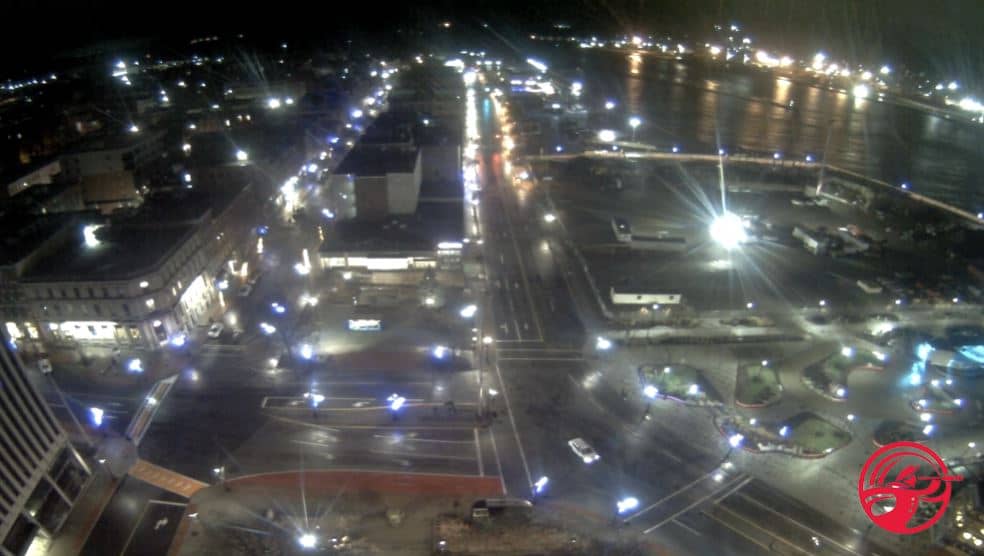
New Brunswick, Canada — 0.2 km

New Brunswick, Canada — 40 km
New Brunswick, Canada — 43 km

New Brunswick, Canada — 105 km
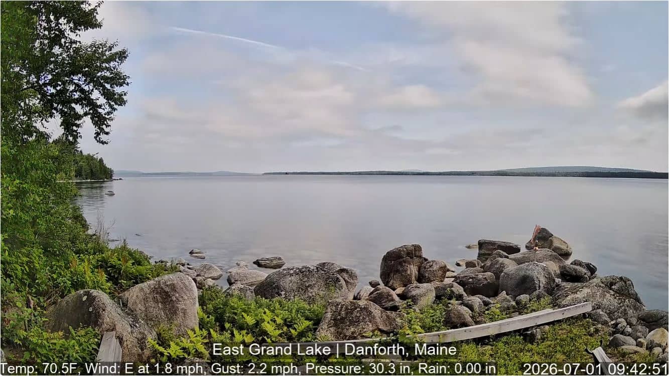
Maine, United States — 143 km
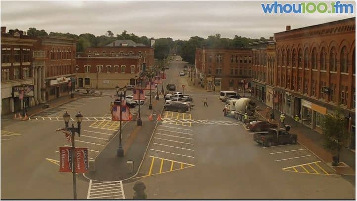
Maine, United States — 167 km
Nova Scotia, Canada — 177 km

Nova Scotia, Canada — 190 km
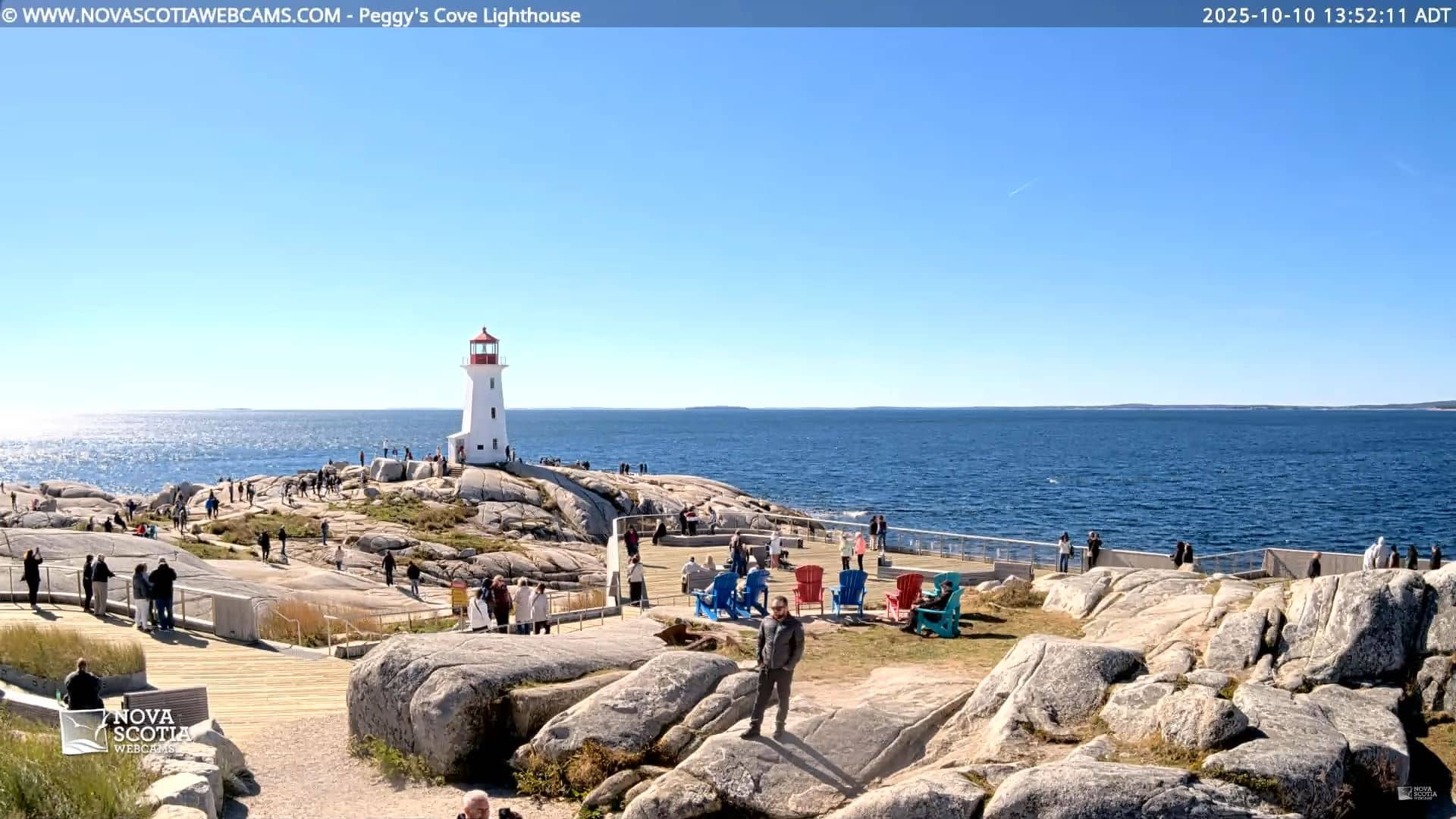
Nova Scotia, Canada — 190 km
The current conditions and a three-day forecast are shown in the weather block on this page. The values update on their own, so you do not need to reload the page.
The local time for Saint John is displayed on this page. It follows the Atlantic time zone used in New Brunswick, including its daylight saving changes.
The camera is in Saint John, New Brunswick, Canada, at the harbour area shown on the map on this page. The map helps you see its position relative to the city and the bay.
Daylight hours give the clearest picture, and tide changes can alter what is visible along the waterfront. Check the schedule of the ferry operator if you want to see a specific departure or arrival.
Partner links: we may earn a commission at no extra cost to you.