
Osoyoos - Safari Beach Resort - Osoyoos Lake
British Columbia, Canada — 96 km
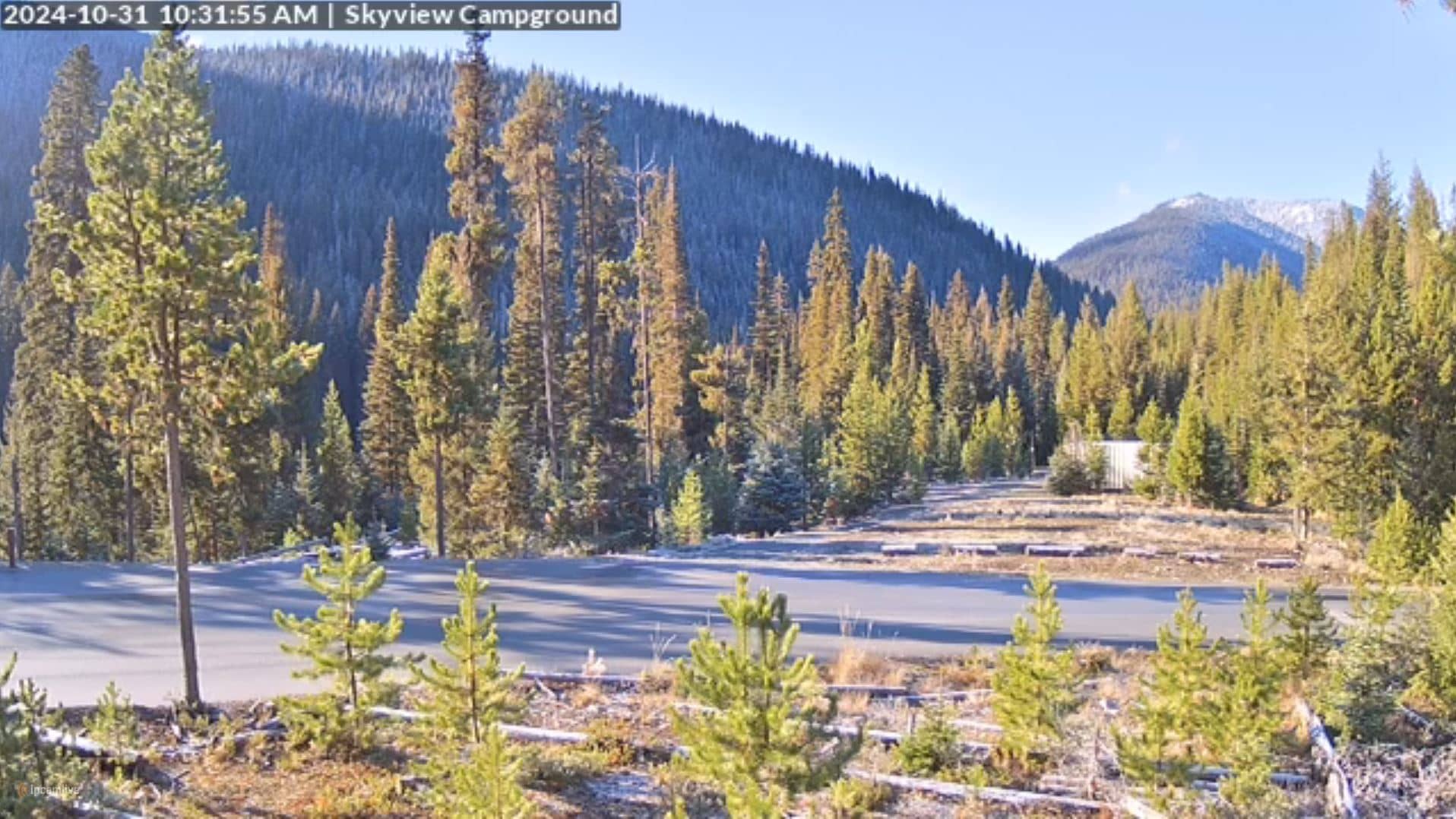
Manning Park
🇨🇦 British Columbia · Canada — Altitude 1196 m
This camera looks out over Manning Park, a mountain park in southern British Columbia at about 1,196 metres above sea level. It is useful for checking how the mountains look right now, whether cloud is sitting on the peaks, and what conditions are like before a drive through the Cascades.
Manning Park sits in the Cascade Mountains of southern British Columbia, roughly midway between the Okanagan valley and the Fraser Valley. It is known for forested ridges, alpine meadows, lakes and a long-standing lodge that many travellers use as a stop on the Crowsnest Highway. The landscape changes quickly with altitude, so the same view can look very different from one day to the next.
The stream is a mountain view, so the most useful moments are usually early morning, when valleys may hold mist, and late afternoon, when low light brings out the ridge lines. Depending on the view, you may see snow on higher slopes for much of the year, fresh cloud moving through the passes, or clear skies after a front has passed. Winter weather can change visibility quickly.
The park has a continental-influenced mountain climate with warm, dry summers and heavy snowfall in winter. Late summer and early autumn are generally the most reliable for clear views and open roads. Nearby camera locations include Penticton, Kelowna, Bellingham and Surrey, which give a sense of the wider region and its weather across the Cascades.
Because mountain weather can shift within an hour, check the live conditions and the three-day forecast on this page before setting out. Road and snow conditions in higher areas can differ from what the valley weather suggests.
Source: Manning Park Canada webcam
British Columbia, Canada — 96 km

British Columbia, Canada — 98 km
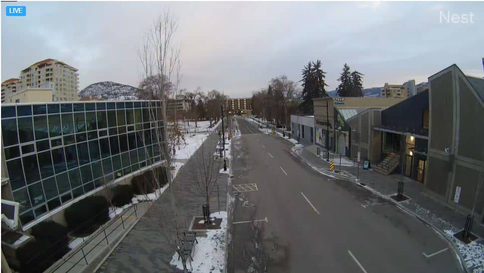
British Columbia, Canada — 98 km
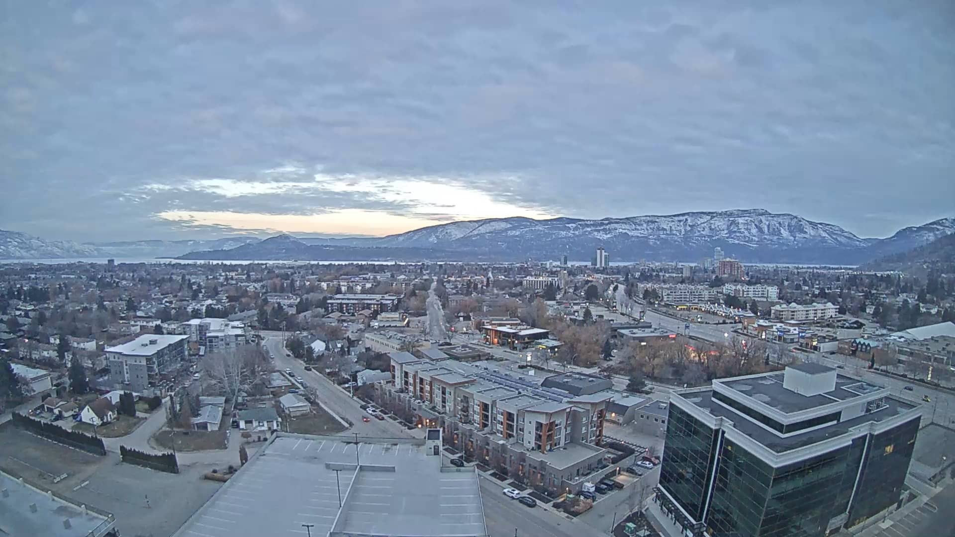
British Columbia, Canada — 126 km
Washington, United States — 130 km
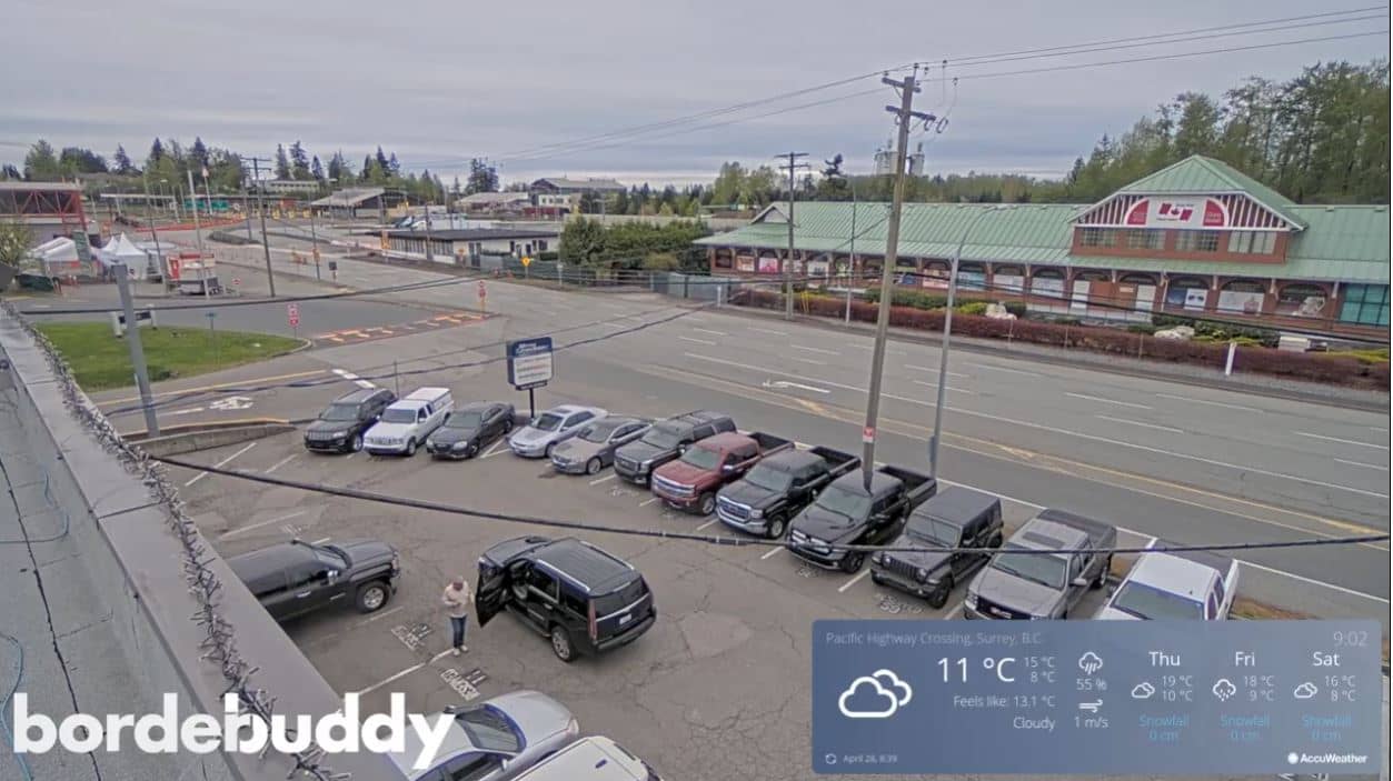
British Columbia, United States — 139 km
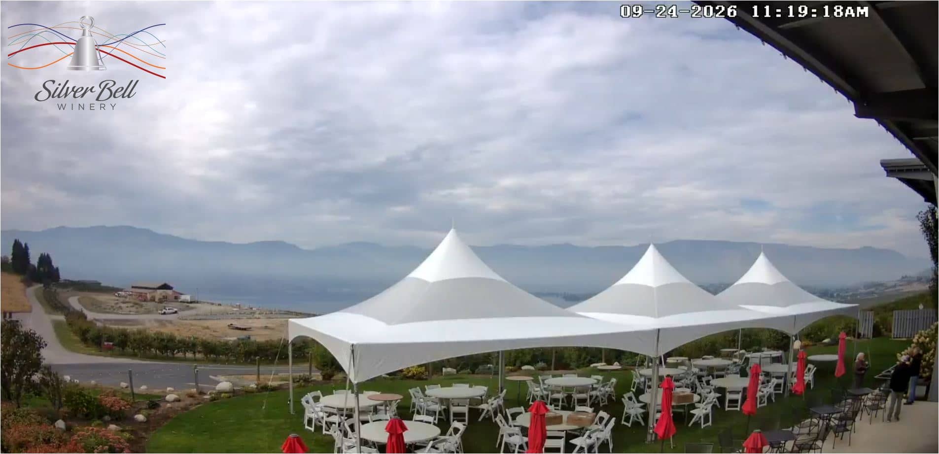
Washington, United States — 142 km
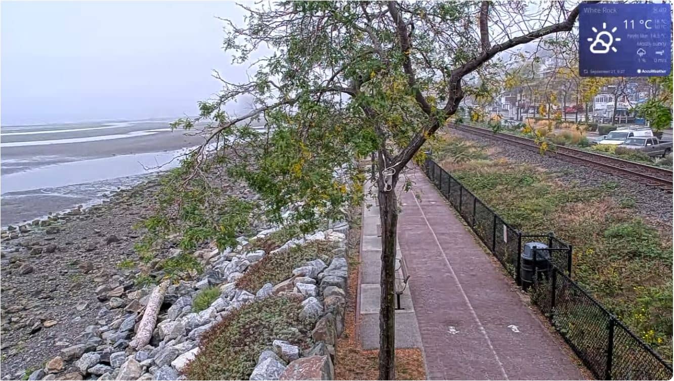
British Columbia, Canada — 147 km
British Columbia, Canada — 147 km
British Columbia, Canada — 153 km
The current conditions and a three-day forecast are shown in the live weather block on this page. Mountain weather can change quickly, so it is worth checking just before you travel.
The local time for Manning Park is displayed on this page and follows the Pacific time zone used across British Columbia.
The camera is in Manning Park in southern British Columbia, Canada, at about 1,196 metres altitude. The map on this page shows its exact position in the Cascade Mountains.
Early morning and late afternoon often give the clearest light and the best chance to see the ridges. Views depend on cloud and season, so the live stream is the best guide.
Partner links: we may earn a commission at no extra cost to you.