Tangará - Thiago Boesing Fotos 360° - Sul
Santa Catarina, Brazil — 138 km

Chapecó - Slaviero Essential Chapecó - Sudeste
🇧🇷 Santa Catarina · Brazil — Altitude 657 m
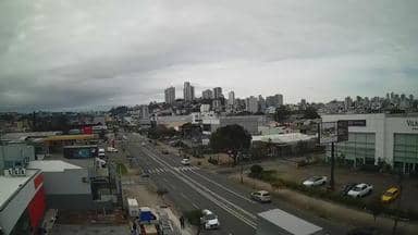
This live camera looks out over Chapecó, a city of the Brazilian state of Santa Catarina set on a plateau in the south of the country. It is a useful way to get a sense of the city's streets and skyline as they are right now. The page also shows the local time and the current forecast.
Chapecó lies in the west of Santa Catarina, on a high plateau at roughly 650 metres above sea level. The region is known for agriculture, particularly grain, pork and poultry, and for its role as a regional centre for trade and services. The landscape around the city is rolling farmland with patches of subtropical forest, and the air tends to be cooler than on the coast.
The camera shows a southeast view of the city, so the picture changes with the time of day and the weather. Morning and late afternoon usually bring the softest light, while clear midday skies make buildings and roads stand out sharply. Rain and cloud can quickly alter the scene, so the live weather block on the page is worth checking alongside the picture.
Chapecó has a humid subtropical climate, with hot summers and mild winters, and occasional frost in the cooler months. Spring and autumn are generally the most comfortable times to visit. Nearby places shown on VizCams include cameras in Tangará, Videira, Jóia and Foz do Iguaçu, the last of which is a popular base for visiting the famous waterfalls.
Source: climaaovivo.com.br
Santa Catarina, Brazil — 138 km
Santa Catarina, Brazil — 147 km
Rio Grande do Sul, Brazil — 225 km
Rio Grande do Sul, Brazil — 246 km
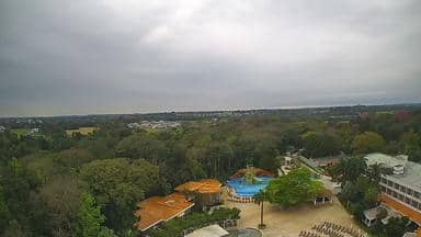
Paraná, Brazil — 257 km
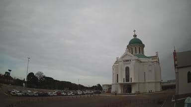
Rio Grande do Sul, Brazil — 263 km
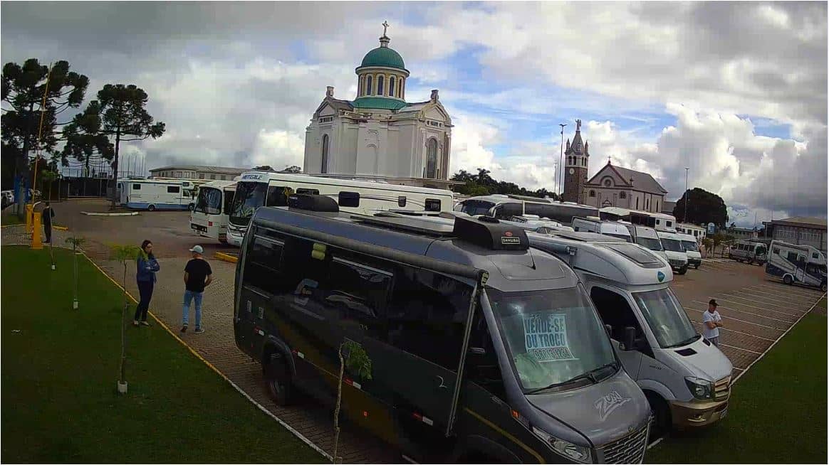
Rio Grande do Sul, Brazil — 264 km
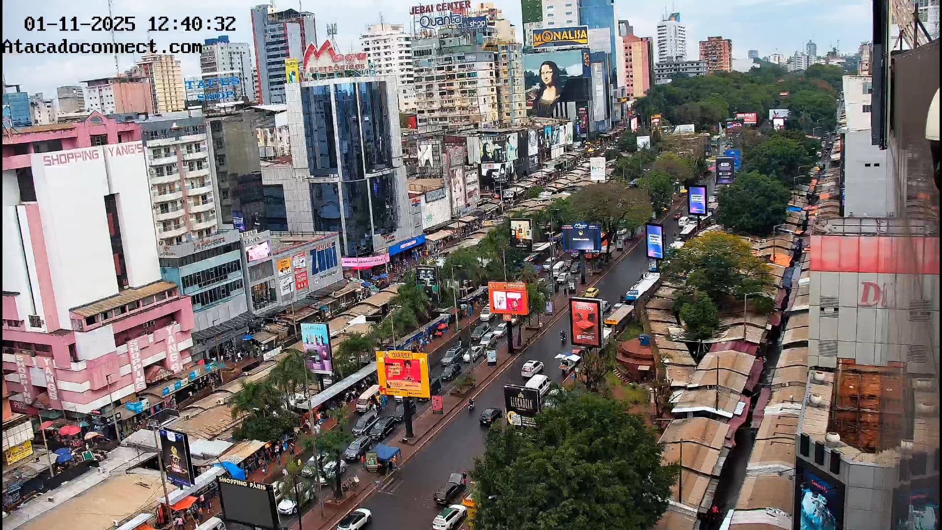
Alto Paraná, Paraguay — 266 km
Rio Grande do Sul, Brazil — 269 km
Rio Grande do Sul, Brazil — 271 km
The current conditions and the three-day forecast for Chapecó are shown in the live weather block on this page. They update automatically, so you can check them alongside the camera view.
The local time for Chapecó is displayed on this page and follows the local time zone of southern Brazil. The clock updates live, so you do not need to convert it yourself.
The camera is in the city of Chapecó in the state of Santa Catarina, in southern Brazil, at an altitude of about 657 metres. The map on this page shows its exact position.
Daylight hours show the city most clearly, and early morning or late afternoon often give the best light. Check the weather block first, since cloud and rain can reduce visibility.
Partner links: we may earn a commission at no extra cost to you.