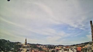
Canela - Villa Maggiore - Bitcom - Sul
Rio Grande do Sul, Brazil — 6.7 km
Canela - Parque do Caracol
🇧🇷 Rio Grande do Sul · Brazil — Altitude 687 m
This live camera looks over Parque do Caracol in Canela, a town on the plateau of southern Brazil's Serra Gaúcha. Watch the scene as it changes through the day to get a sense of the highland light and conditions before you plan a visit or a call.
Canela sits at roughly 690 metres above sea level in the hills of Rio Grande do Sul, a short drive from Gramado. The town is known for its forested valleys, waterfalls and the Serra Gaúcha scenery, and it has a notably cooler feel than the lowlands of the state. Its streets and parks are shaped by the hills, so the views change quickly with the clouds and the light.
The title names a park, so the view most likely shows green space and the surrounding town, though the exact framing is worth checking yourself. Mornings often bring mist or low cloud over the hills, while clear afternoons give the best visibility. Winter nights can be cold, and the view is most useful when you want to judge whether skies are open or covered.
Canela has mild summers and noticeably cold winters, with occasional frost and rare light snow at higher points in the region. Spring and autumn are generally the most comfortable seasons for walking. Nearby cameras cover Villa Maggiore, the Catedral de Pedra and the town centre, and Gramado is only a short distance away for comparison.
Source: panomax.com
Rio Grande do Sul, Brazil — 6.7 km
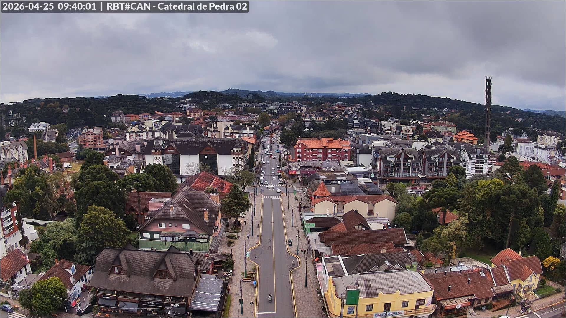
Rio Grande do Sul, Brazil — 7.1 km
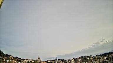
Rio Grande do Sul, Brazil — 7.4 km

Rio Grande do Sul, Brazil — 7.4 km
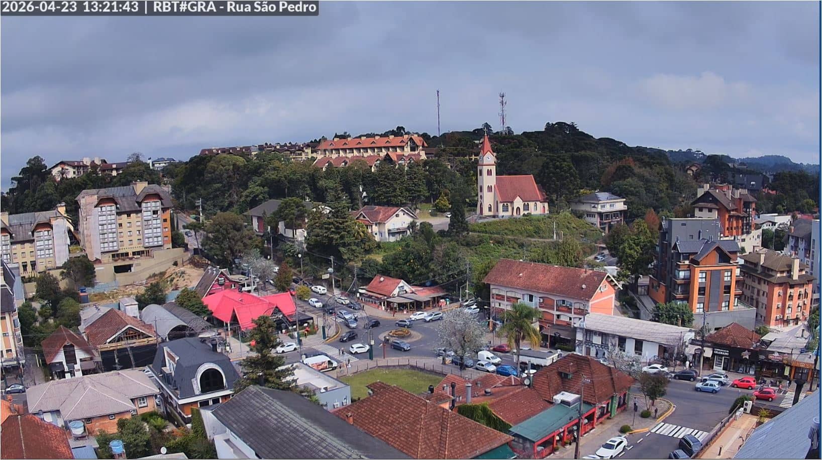
Rio Grande do Sul, Brazil — 7.8 km
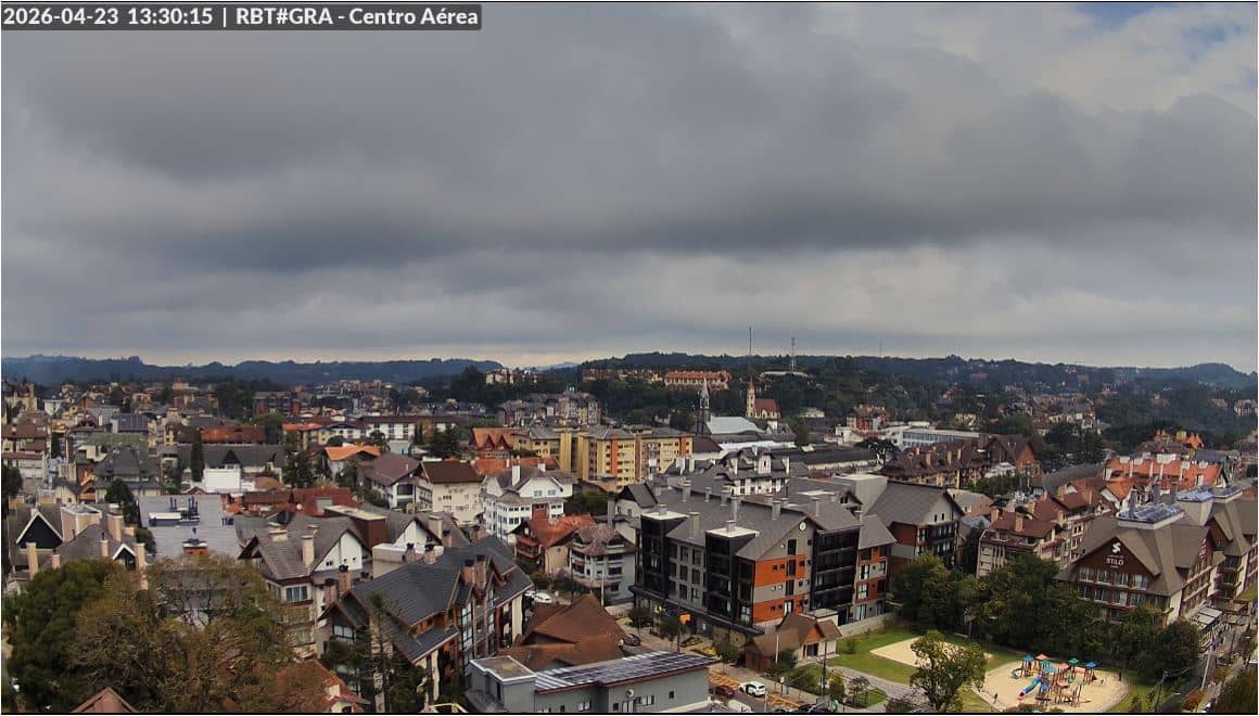
Rio Grande do Sul, Brazil — 8.1 km
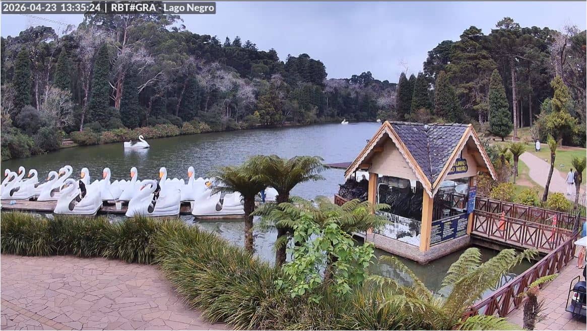
Rio Grande do Sul, Brazil — 9.4 km
Rio Grande do Sul, Brazil — 26 km
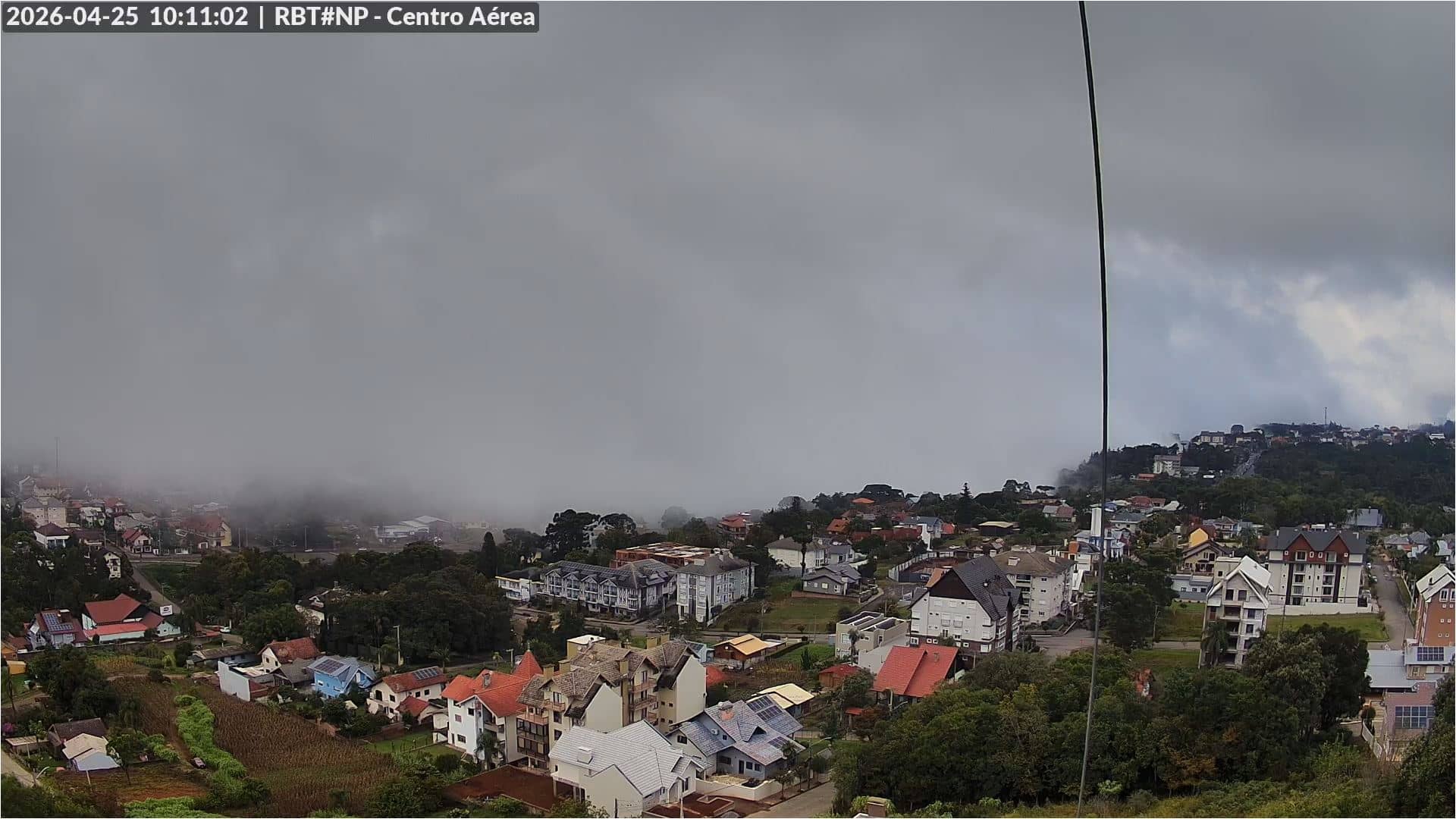
Rio Grande do Sul, Brazil — 26 km
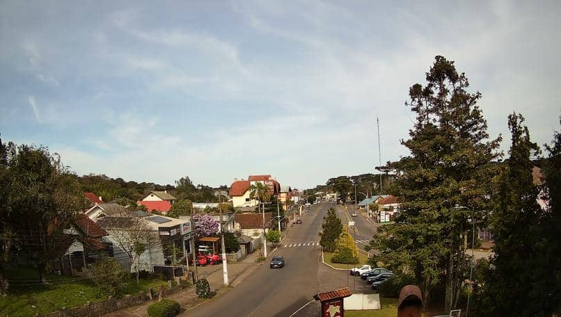
Rio Grande do Sul, Brazil — 27 km
The current weather and a 3-day forecast for Canela are shown in the live block on this page. They update with the page, so you can check conditions before looking at the camera.
The local time for Canela is displayed on this page. Canela follows Brazil's time zone for the state of Rio Grande do Sul.
The camera is in Canela, Rio Grande do Sul, Brazil, at an altitude of about 687 metres. The map on this page shows its exact position.
Mornings are useful for seeing mist and cloud on the hills, and afternoons usually give the clearest views. Seasonal changes affect the scene, so check the live feed at different times of day.
Partner links: we may earn a commission at no extra cost to you.