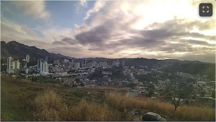
Três Rios - Morro dos Caetanos - TR Telecom - Oeste
Rio de Janeiro, Brazil — 9.3 km
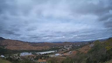
Paraíba do Sul - Vale da Lua - TR Telecom - Sul
🇧🇷 Rio de Janeiro · Brazil — Altitude 358 m
This live stream looks out from the Vale da Lua area of Paraíba do Sul, a town in the hills of Rio de Janeiro state. It is useful for seeing how the valley looks right now, whether clouds are sitting on the ridges, and how the day is developing before you plan anything in the region.
Paraíba do Sul sits in the interior of Rio de Janeiro state, at roughly 358 metres above sea level, where the land rises from the coastal lowlands into rolling hills. The town takes its name from the Paraíba do Sul river, which has shaped its valleys and farmland for centuries. The landscape is green and layered, with pastures, forest patches and winding roads, and the feel is that of a quiet inland community rather than a large city.
The stream is titled after the Vale da Lua, so it is best suited to following the valley itself: changes in light across the slopes, morning mist lifting off low ground, and the way cloud moves over the hills. Views like this are usually most interesting in early morning and late afternoon, when the light is low and shadows define the ridges. Conditions vary with the weather, so you may see clear skies one hour and heavy cloud the next.
The region has a warm, humid subtropical climate, with hotter and wetter summers and drier, milder winters. Many visitors find the cooler months more comfortable for walking and driving through the hills. Paraíba do Sul is inland, so reaching it usually means travelling by road from larger centres. Other cameras nearby include Três Rios, Simão Pereira and Chiador, which give a broader sense of the area.
Source: climaaovivo.com.br
Rio de Janeiro, Brazil — 9.3 km
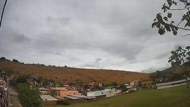
Minas Gerais, Brazil — 21 km

Minas Gerais, Brazil — 28 km
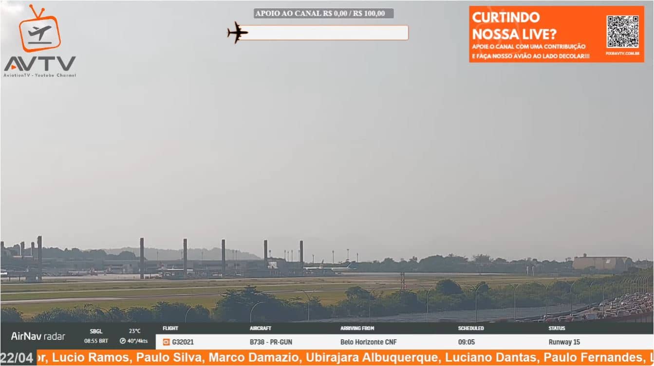
Rio de Janeiro, Brazil — 74 km
Rio de Janeiro, Brazil — 85 km

Rio de Janeiro, Brazil — 85 km
Rio de Janeiro, Brazil — 90 km

Rio de Janeiro, Brazil — 90 km
Rio de Janeiro, Brazil — 92 km
Rio de Janeiro, Brazil — 93 km
The current conditions and a three-day forecast are shown in the live weather block on this page, updated automatically for the town.
The local time is displayed on this page and follows Brazilian time for the region, so you can compare it with your own time zone before watching.
The camera is in Paraíba do Sul, in the interior of Rio de Janeiro state, Brazil, at about 358 metres altitude. The map on this page marks its position.
Early morning and late afternoon usually give the most interesting light on the valley and hills, although the view depends on weather and cloud cover.
Partner links: we may earn a commission at no extra cost to you.