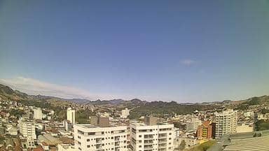
Itajubá - Inovai - Cond. São Tiago - Sudoeste
Minas Gerais, Brazil — 0.1 km
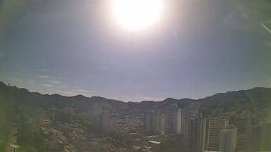
Itajubá - Inovai - Cond. São Tiago - Nordeste
🇧🇷 Minas Gerais · Brazil — Altitude 849 m
This live stream looks over the northeast part of Itajubá, a city in the hills of southern Minas Gerais. It is useful for seeing current conditions and daylight before you plan a trip or simply to check how the weather is developing in the area.
Itajubá sits at roughly 850 metres above sea level in the Serra da Mantiqueira foothills, a region of rolling green ranges, eucalyptus plantations and small rivers. The city is known as a centre of engineering and education, with a large technical university that shapes its character. Its surroundings are quieter than the big cities of the state, and the climate is mild for much of the year.
The title places this camera in a residential area on the northeast side of town, so the view is likely to focus on streets, rooftops and the hills beyond rather than on a single landmark. Watching in the morning shows how the city wakes up and how cloud settles over the ridges. Late afternoon light often brings out the outlines of the hills, though the exact view depends on the weather.
Southern Minas Gerais has a humid subtropical climate with warm, rainy summers and drier, cooler winters, so clear days are most common from May to September. The nearby camera in Pouso Alegre is about 48 km away, and the Itamonte view lies roughly 68 km off, which can help you compare conditions across the wider region before you travel.
Source: climaaovivo.com.br
Minas Gerais, Brazil — 0.1 km
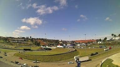
Minas Gerais, Brazil — 48 km
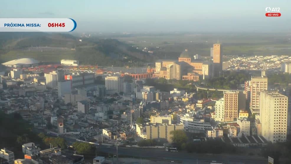
São Paulo, Brazil — 53 km
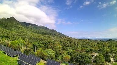
Minas Gerais, Brazil — 68 km
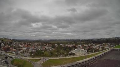
São Paulo, Brazil — 99 km
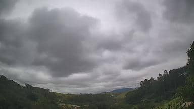
São Paulo, Brazil — 113 km

São Paulo, Brazil — 117 km
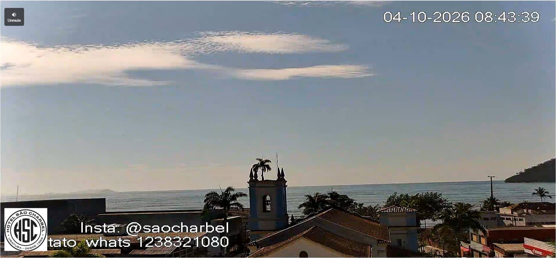
São Paulo State, Brazil — 119 km

Rio de Janeiro, Brazil — 121 km
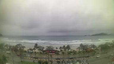
São Paulo, Brazil — 123 km
The current weather and a three-day forecast for Itajubá are shown in the live block on this page. They update with the latest available data, so check there rather than relying on older information.
The local time for Itajubá is displayed on this page and follows the Brazilian time used in the region. The clock is shown live next to the video.
The camera is in Itajubá, Minas Gerais, on the northeast side of the city, at an altitude of about 850 metres. A map on the page marks its position within the town.
Early morning and late afternoon are often the most interesting, when light is softer and cloud movement over the hills is easier to follow. Dry months from May to September usually give the clearest views.
Partner links: we may earn a commission at no extra cost to you.