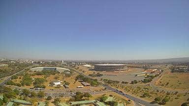
Brasília - Combo Livre - Torre de TV - Mané Garrincha - Noroeste
Federal District, Brazil — 0.1 km
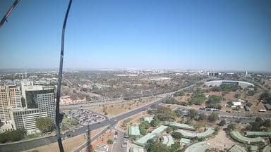
Brasília - Combo Livre - Torre de TV - Parque da Cidade - Sudoeste
🇧🇷 Federal District · Brazil — Altitude 1123 m
This camera looks out over Brasília from the TV Tower area, giving a high, wide view of the planned capital's skyline and surrounding green spaces. It is useful for seeing how the city looks right now, from the cloud cover on the horizon to the colour of the light. Local weather and time sit alongside the live player on this page.
Brasília is Brazil's federal capital, laid out in the 1950s and 1960s with a distinctive plan that places government buildings, residential blocks and wide avenues in a deliberate pattern. The city sits on a high plateau in the Federal District, at roughly 1,100 metres above sea level, which gives it cooler evenings than many Brazilian cities. The Parque da Cidade, one of the largest urban parks in the country, lies close to the tower and brings a lot of green space into the view.
The title names the TV Tower and the Sudoeste area, so the camera is positioned to take in the urban fabric and the park rather than a single landmark. Views like this tend to be clearest in the dry season from May to September, when the air is usually drier and visibility is better. Early morning and late afternoon bring warmer light across the buildings, and the outlook changes noticeably with cloud and rain.
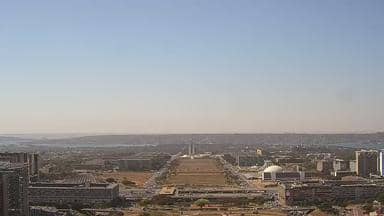
Brasília has a tropical savanna climate with a long, dry winter and a hot, rainy summer from October to April. Days in the dry months are often sunny and pleasant, while the rainy season brings heavy afternoon storms. Nearby cameras include the Mané Garrincha and Esplanada views from the same tower network, which can help you compare conditions across the city.
Source: climaaovivo.com.br
Federal District, Brazil — 0.1 km
Federal District, Brazil — 0.1 km

Goiás, Brazil — 39 km

Goiás, Brazil — 39 km

Goiás, Brazil — 43 km

Goiás, Brazil — 177 km

Minas Gerais, Brazil — 347 km

Minas Gerais, Brazil — 418 km

Goiás, Brazil — 462 km
São Paulo, Brazil — 549 km
The current conditions and the three-day forecast are shown in the weather block on this page. They update with the live data, so you can check them alongside the camera view.
The local time for Brasília is displayed on this page and updates automatically, so you can see the current time next to the live stream.
The camera is on a tower in the Brasília area near Parque da Cidade and the Sudoeste district, at about 1,123 metres altitude. The map on this page shows its position in the city.
Clear skies in the dry season from May to September usually give the sharpest view. Morning and late afternoon light is often the most attractive for seeing the city.
Partner links: we may earn a commission at no extra cost to you.