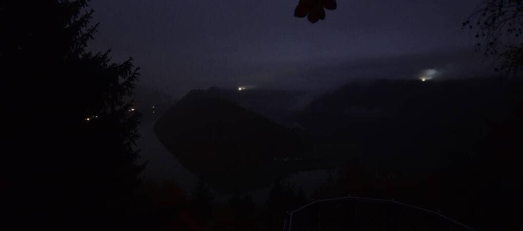
Schlögen - Donauschlinge
Upper Austria, Austria — 2.6 km

St. Agatha - Etzinger Hügel
🇦🇹 Upper Austria · Austria — Altitude 642 m
This live camera looks out from the Etzinger Hügel, a rounded hill above the village of St. Agatha in Upper Austria. It is a useful window onto the Mühlviertel countryside and the broad valleys around the Danube. Watch it to judge visibility and cloud before planning a walk or drive in the area.
St. Agatha sits in the Upper Austrian Mühlviertel, a region of forested granite hills, farmland and small villages north of the Danube. The landscape here is quiet and rural, with a mix of meadows, woods and scattered farmsteads. The camera stands at about 642 metres above sea level, so it gives a wider horizon than the valley floor and reflects the hill-country character of the district.
The camera is mounted on a hill, so its picture is mainly about the open landscape and the sky above it. Depending on the view, you may see fields, tree lines and distant ridges changing with the light. Clear mornings and late afternoons are typically the most readable times, while low cloud or haze can flatten the scene. Seasonal shifts in crops and foliage are often the most visible change over the year.
The Mühlviertel has a continental climate with cold winters and warm, showery summers, so late spring and early autumn are often the most comfortable months for walking. Nearby places worth comparing on VizCams include the Schlögen Danube loop about 3 km away, Peuerbach around 10 km distant, and Aschach with its Faustschlössl about 12 km away. Check the live weather on this page before setting out, since hill conditions can differ from the valley.
Source: panomax.com
Upper Austria, Austria — 2.6 km
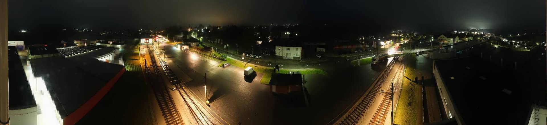
Upper Austria, Austria — 10 km
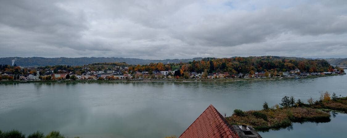
Upper Austria, Austria — 12 km
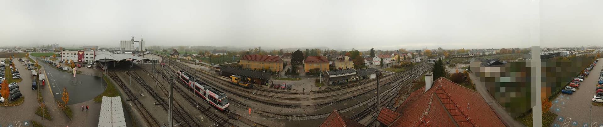
Upper Austria, Austria — 15 km

Upper Austria, Austria — 15 km

Upper Austria, Austria — 17 km

Upper Austria, Austria — 22 km

Bavaria, Germany — 24 km

Upper Austria, Austria — 26 km
Upper Austria, Austria — 34 km
The current conditions and a three-day forecast for St. Agatha are shown in the live weather block on this page. The values update automatically, so you can check them before deciding whether the view will be clear.
The local time for St. Agatha is displayed on this page and follows the Central European time zone used in Austria. It updates live alongside the camera.
The camera is on the Etzinger Hügel above St. Agatha in Upper Austria, at roughly 642 metres altitude. The map on the page marks its position and shows the surrounding area.
Clear mornings and late afternoons usually give the most detailed view of the landscape, especially when the sky is free of haze. Check the live picture and weather before you plan a visit.
Partner links: we may earn a commission at no extra cost to you.