
Leibnitz - Kreuzkogelwarte
Styria, Austria — 23 km
Bad Schwanberg - Aichegg
🇦🇹 Styria · Austria
This live camera looks out over the hills around Bad Schwanberg in southern Styria. It suits anyone planning a trip to the region or wanting to see how the weather is moving across the landscape before heading out.
Bad Schwanberg is a small spa town in the Styrian hill country, close to the Slovenian border. The landscape is gently rolling, with vineyards, orchards and wooded ridges typical of southern Styria. The area is quieter than the big cities of the region and is known for its relaxed rural character and countryside walks.
The camera is positioned for a mountain and hill view, so the main things to follow are cloud build-up over the ridges, changing light across the valleys and fog lying in the lower ground. Mornings and late afternoons usually give the clearest sense of the landscape, while summer evenings often bring a warm, hazy light. Conditions can vary a lot from one hour to the next.
Southern Styria has a continental climate with warm summers and cold, often grey winters. Late spring and early autumn are popular for hiking and wine-region visits. Graz, about 36 km away, is the nearest larger city and a convenient base. Nearby cameras include Gamlitz in the Südsteiermark wine country and Wolfsberg in Carinthia.
Source: feratel.com
Styria, Austria — 23 km

Carinthia, Austria — 25 km
Styria, Austria — 26 km

Styria, Austria — 27 km
Carinthia, Austria — 29 km

Styria, Austria — 29 km

Styria, Austria — 35 km
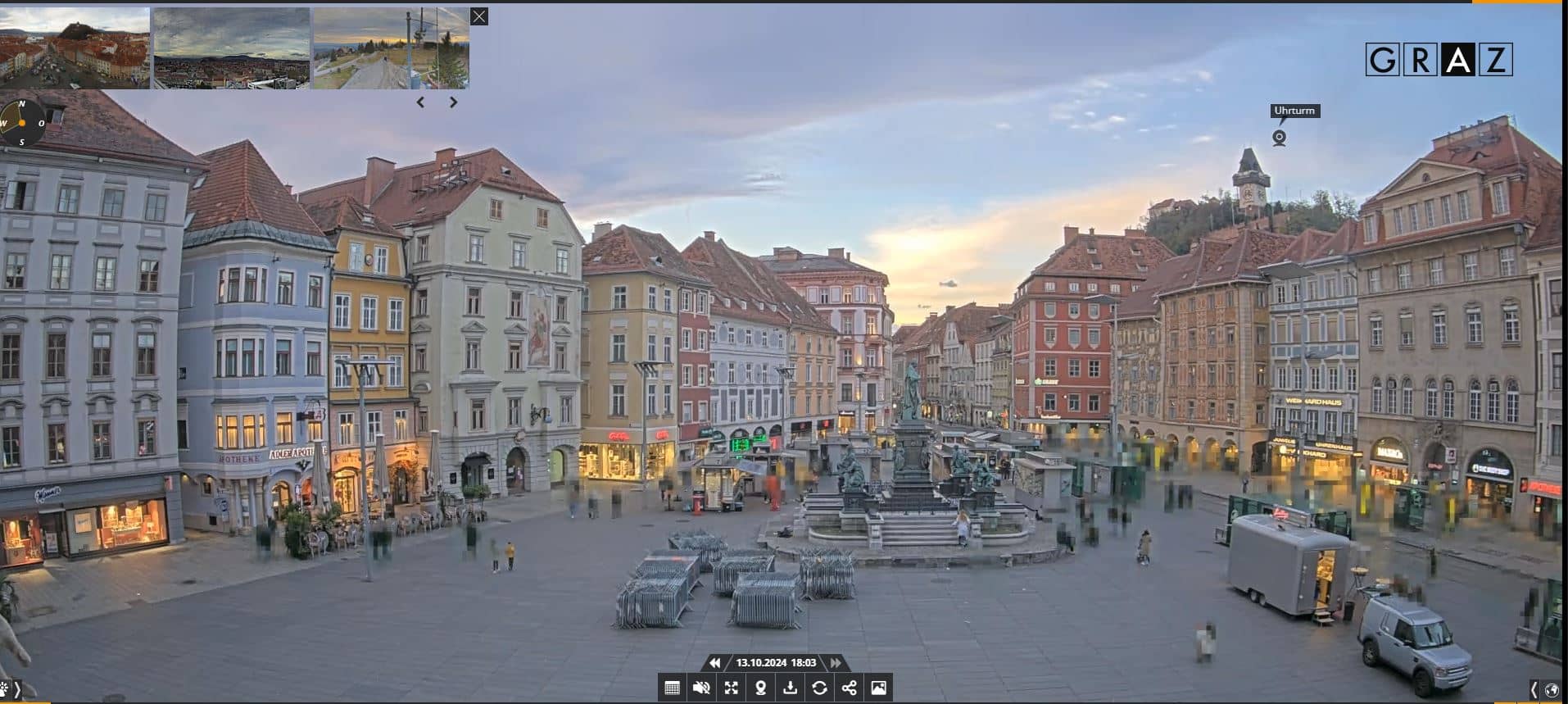
Styria, Austria — 36 km

Carinthia, Austria — 37 km
Styria, Austria — 37 km
The current conditions and a three-day forecast for Bad Schwanberg are shown in the weather block on this page. They update automatically, so you can check them alongside the live view.
The local time for Bad Schwanberg is displayed on this page and follows the Central European time used in Austria. It updates live with the camera.
The camera is located above Bad Schwanberg in the Aichegg area of Styria, Austria, at approximately 46.77 N, 15.21 E. The map on this page shows its position.
Early morning and late afternoon usually offer the clearest light and the most visible detail in the hills. Clear days after rain are often the best for seeing the full landscape.
Partner links: we may earn a commission at no extra cost to you.