
Erevan - Gare routière Nord - Route Erevan-Sevan
Kotayk, Armenia — 34 km
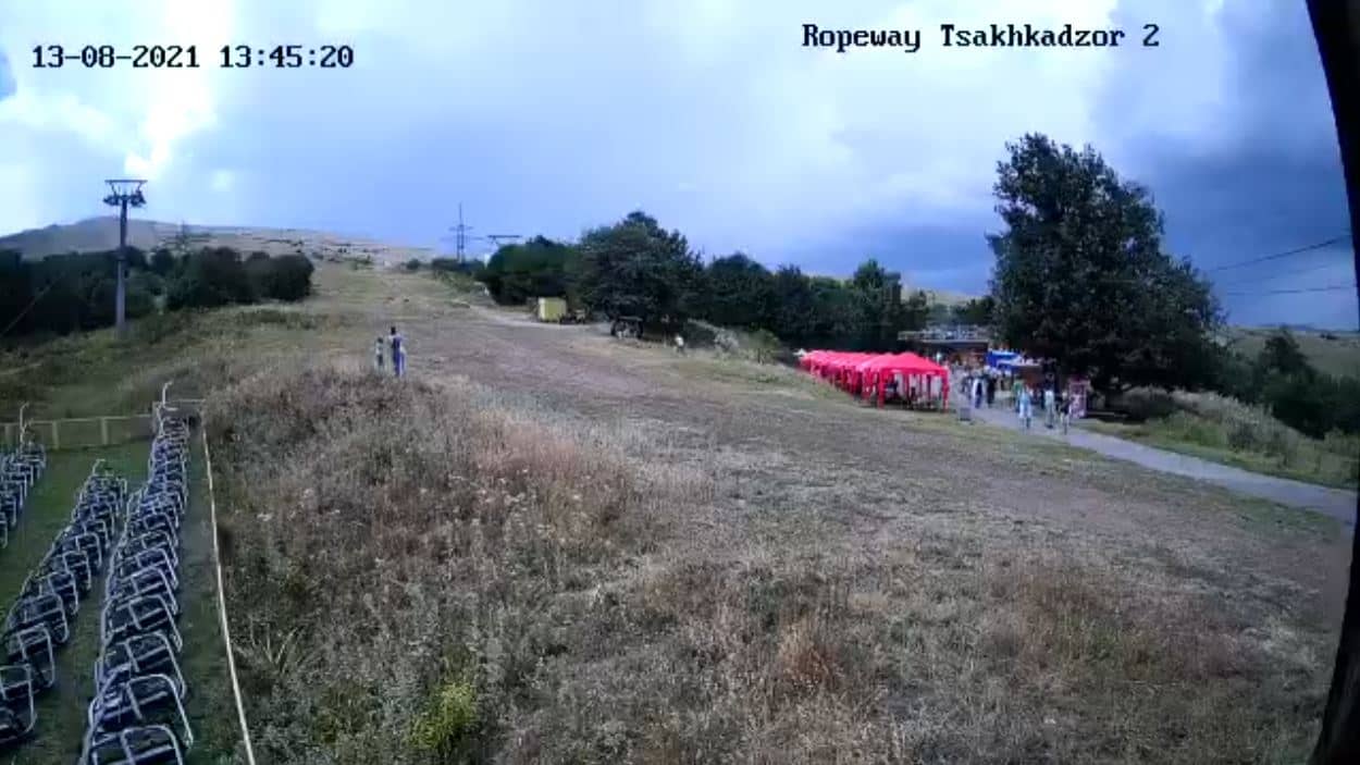
Tsaghkadzor
🇦🇲 Kotayk · Armenia — Altitude 2206 m
This live camera looks out over Tsaghkadzor, a mountain town in the Kotayk region of Armenia at about 2,200 metres above sea level. It is useful for checking mountain conditions before you travel or simply seeing how the highlands look right now. The stream is provided by its source and embedded here with a link back to the owner.
Tsaghkadzor sits in a wooded valley in the Kotayk region, roughly an hour's drive north-east of Yerevan. The town is known as one of Armenia's main ski and mountain resorts, and it has long been a summer retreat for people escaping the heat of the capital. Its setting, with forested slopes, open meadows and clear mountain air, gives it a quieter feel than the lowland cities.
The title points to a mountain view, so the frame is most likely to show slopes, the valley and the sky above the town. Depending on the angle, you may see snow cover in winter, green hillsides in late spring and summer, or autumn colours on the trees. Clouds often gather over the peaks in the afternoon, so mornings tend to offer the clearest view. Watching the frame over a day gives a good sense of how quickly weather moves through the highlands.
Tsaghkadzor has a continental mountain climate, with cold snowy winters and mild, fairly dry summers. Early winter and the ski season are popular for visitors, while June to September suits hiking and rest. Nights stay cool even in summer, so bring layers. The town is reached by road from Yerevan, and the camera's nearby listing in Georgia's Gudauri shows how many mountain resorts can be compared from one page.
Source: Ropeway
Kotayk, Armenia — 34 km
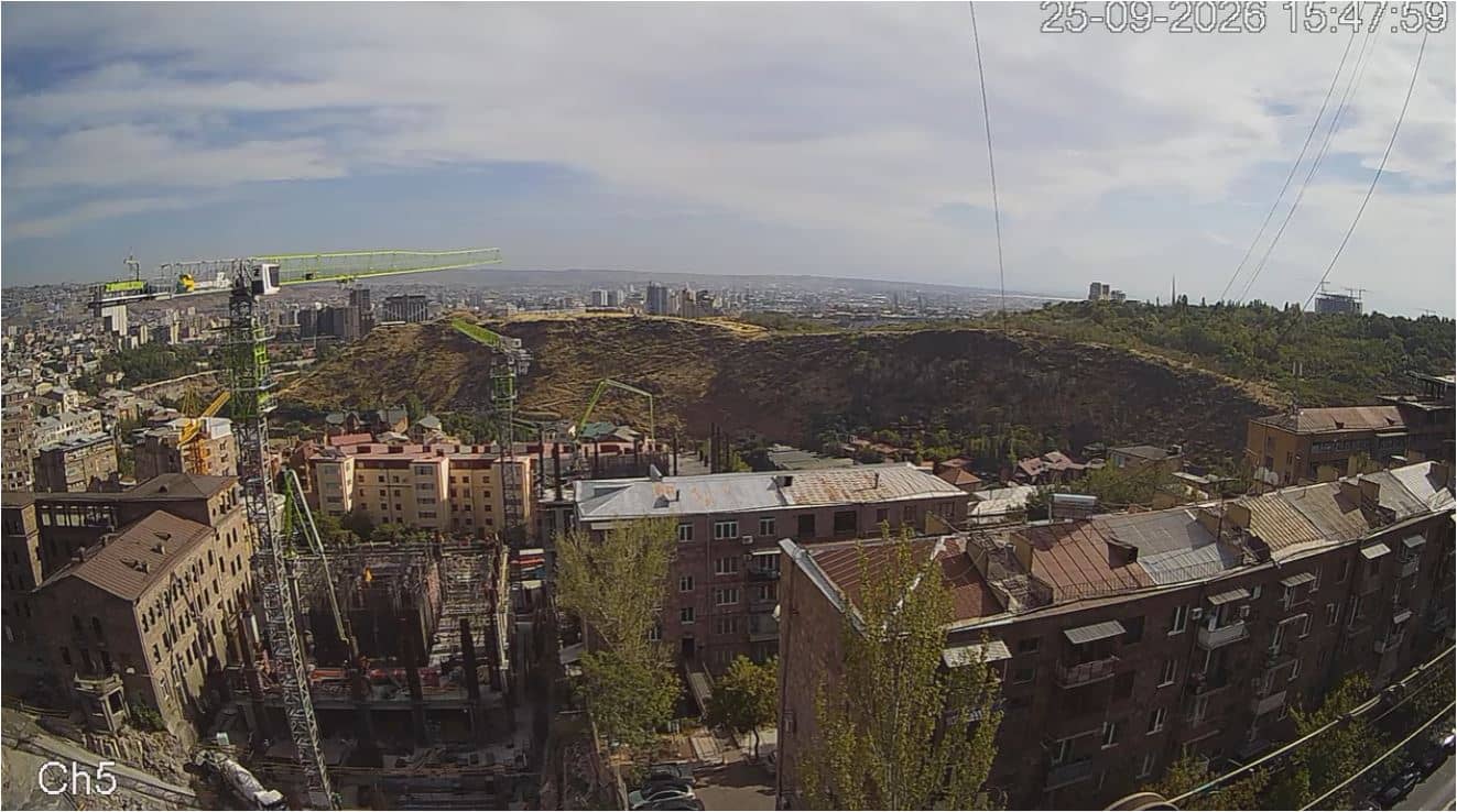
Yerevan, Armenia — 41 km
Tbilisi, Georgia — 129 km
Mtskheta-Mtianeti, Georgia — 217 km
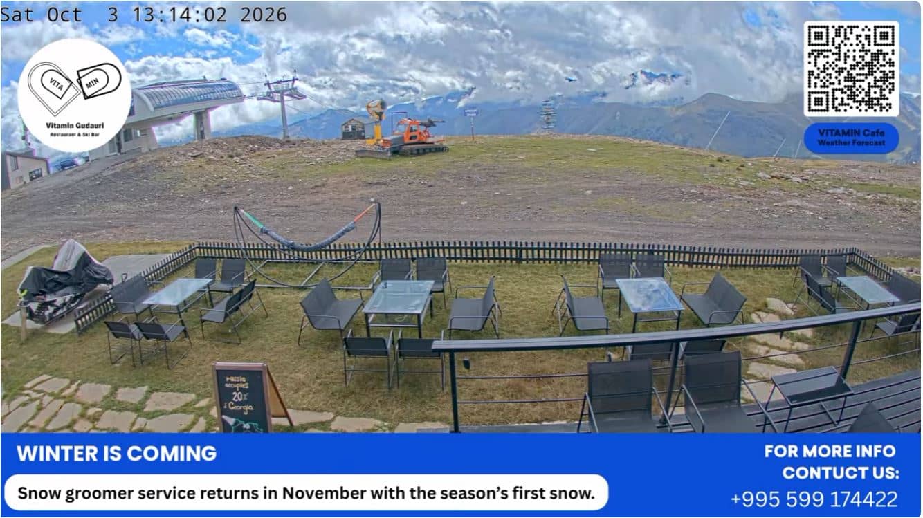
Mtskheta-Mtianeti, Georgia — 218 km
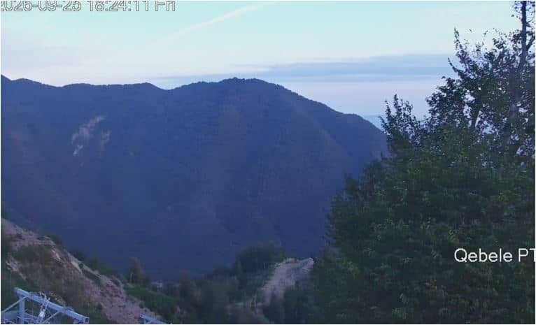
Qabala, Azerbaijan — 273 km
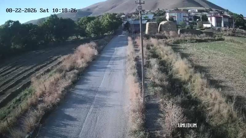
Erzurum, Türkiye — 274 km
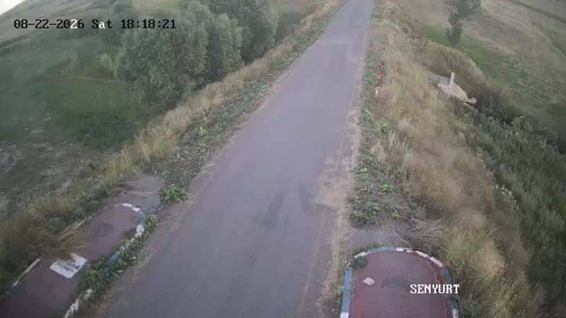
Erzurum, Türkiye — 274 km
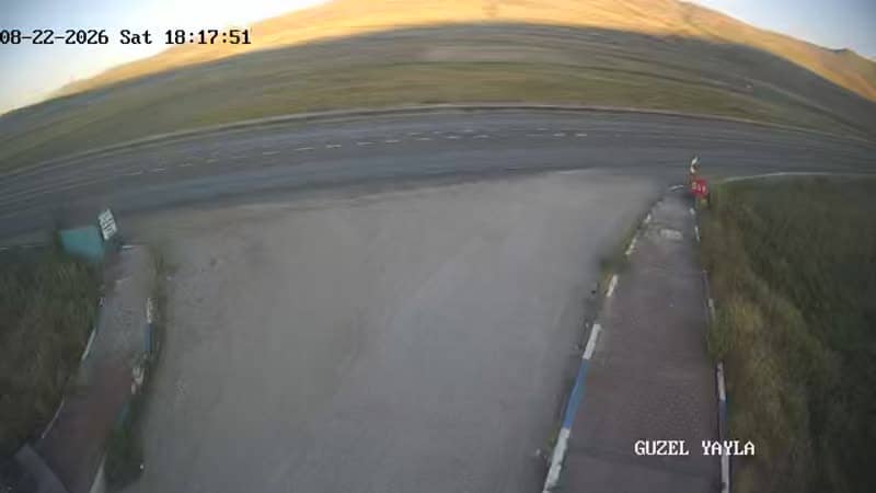
Erzurum, Türkiye — 275 km
Erzurum, Türkiye — 275 km
The current conditions and a three-day forecast for Tsaghkadzor are shown in the live weather block on this page. Mountain weather can change quickly, so check it before you head out.
The local time in Tsaghkadzor is displayed on this page and updates live. Armenia runs on its own local time, so it is worth checking if you are coordinating a call or visit.
The camera is located in Tsaghkadzor in the Kotayk region of Armenia, at about 2,206 metres altitude. The map on this page shows its position relative to Yerevan and the surrounding mountains.
Mornings usually give the clearest view before clouds build over the peaks in the afternoon. Winter shows snow cover and summer shows green slopes, so the best time depends on what you want to see.
Partner links: we may earn a commission at no extra cost to you.